Login

Forgot your login?

Cookies have to be accepted!
Your browser's cookie functionality is disabled. Please enable this functionality.

Not a member yet?

Register now
Login

Available for registred users only

Log in to use this feature.

Forgot your login?

Cookies have to be accepted!
Your browser's cookie functionality is disabled. Please enable this functionality.

Not a member yet?

Register now
Filter
Categories
Advanced filters
  • Distance (km)
  • Height
Save filters Reset filter

TrackRank

QRCode

Technical data

Distance63,5 km Height441 m Way down443 m Duration03:10 h:m Date28.08.2009
Scores Author Landscape Fun factor Fitness Technique

Statistics

314 Views Scores 31 Downloads Average
Rate
  • Track data sheet
  • Directions
  • Downloads
Trasa maratona Poli, leto 2008.

Further information at
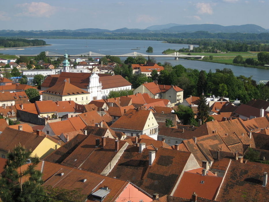
http://sl.wikipedia.org/wiki/Ptuj

Tour gallery

Tour map and elevation profile

  • Open Street Map
  • Google
Minimum height 213 m Maximum height 348 m Detailed view

More about the tour author

BicikloGPS
Member since 2009

Send private message

Comments

Slovenske železnice vsako leto organizirajo poseben vagon za kolesarje. Vlak se ustavi na letališču par sto metrov od štarta. Alternativa je tudi avto ampak v vlaku je vzdušje veliko boljše

GPS tracks

Trackpoints
  • GPX / Garmin Map Source (gpx) download
  • TCX / Garmin Training Center® (tcx) download
  • CRS / Garmin Training Center® (crs) download
  • Google Earth (kml) download
  • G7ToWin (g7t) download
  • TTQV (trk) download
  • Overlay (ovl) download
  • Fugawi (txt) download
  • Kompass (DAV) Track (tk) download
  • Track data sheet (pdf) download
  • Original file of the author (gpx) download

More about the tour author

BicikloGPS
Member since 2009

Send private message
Share track
Add to my favorites
Remove from my favorites
Edit tags
My score
Rate
Track: Poli maraton 2008
Type: Trekkingbike
Distance: 63,5 km
Evaluated on:
Duration:
Day(s)
Hour(s)
Minute(s)
Score: Landscape Fun factor Fitness Technique