Login

Forgotten password?

Cookies have to be accepted!
Your browser's cookie functionality is disabled. Please enable this functionality.

Not a member yet?

Register now
Login

Available for registred users only

Log in to use this feature.

Forgotten password?

Cookies have to be accepted!
Your browser's cookie functionality is disabled. Please enable this functionality.

Not a member yet?

Register now
Filter
Categories
Advanced filters
  • Distance (km)
  • Height
Save filters Reset filter

TrackRank

QRCode

Technical data

Distance65,7 km Height1561 m Way down1508 m Duration05:30 h:m Date26.09.2009
Scores Author User Landscape Fun factor Fitness Technique

Statistics

792 Views 1 Score 139 Downloads 4.00 Average
Rate
  • Track data sheet
  • Directions
  • Downloads
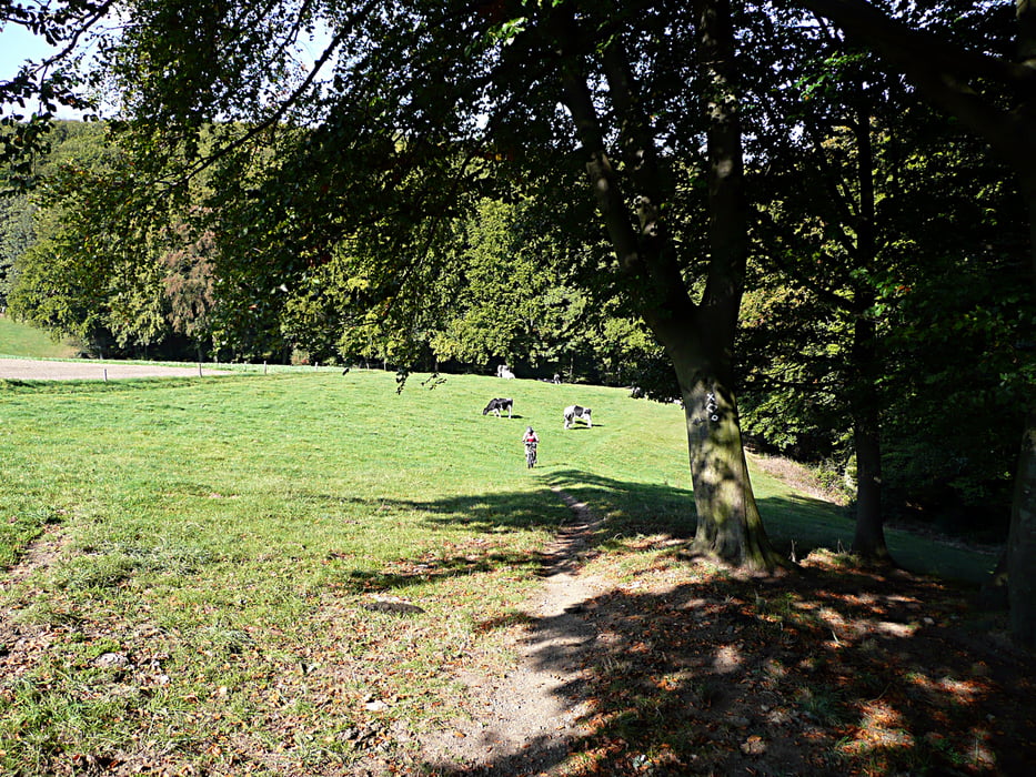
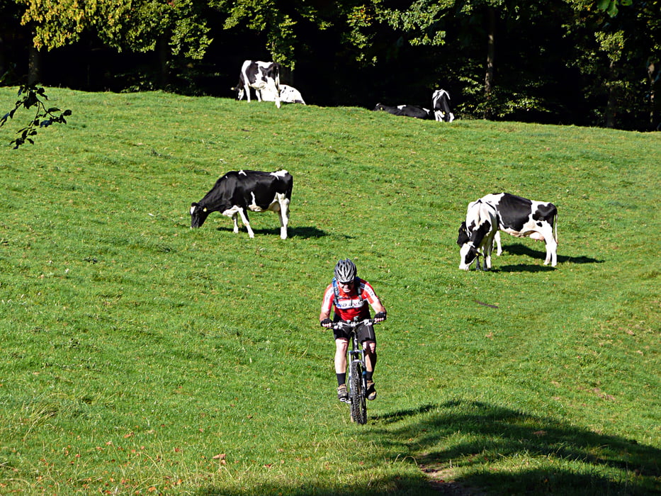
Tour vom Drago zum Berger Hof und wieder zurück mit tollen technischen Trials.

Tour gallery

Tour map and elevation profile

  • Open Street Map
  • Google
Minimum height 13 m Maximum height 300 m Detailed view

More about the tour author

tottreter
Member since 2006

Send private message

Comments

rotwilder on 29.09.2009

Respekt, Deine bzw. Eure Touren.
Gruss Gerhard
rotwilder on 29.09.2009

Respekt, Deine bzw. Eure Touren.
Gruss Gerhard
Hapusenep on 17.05.2010

Schöne Runde

Bin die Tour gestern gefahren. Schöne Runde mit ein paar netten Trails
isabella1973 on 16.04.2014

Halbtagestour

lange Tour in netter Landschaft mit Trails über die
ganze Tour verteilt.Nur eins nervt,der hohe Asphalt
anteil.

GPS tracks

Trackpoints
  • GPX / Garmin Map Source (gpx) download
  • TCX / Garmin Training Center® (tcx) download
  • CRS / Garmin Training Center® (crs) download
  • Google Earth (kml) download
  • G7ToWin (g7t) download
  • TTQV (trk) download
  • Overlay (ovl) download
  • Fugawi (txt) download
  • Kompass (DAV) Track (tk) download
  • Track data sheet (pdf) download
  • Original file of the author (gpx) download

More about the tour author

tottreter
Member since 2006

Send private message
Share track
Add to my favorites
Remove from my favorites
Edit tags
My score
Rate
Track: Elfringhauser Schweiz
Type: Mountain bike
Distance: 65,7 km
Evaluated on:
Duration:
Day(s)
Hour(s)
Minute(s)
Score: Landscape Fun factor Fitness Technique