


Wir starten in Muggendorf/Wiesenttal an der Holzbrücke am Lokal "Brückla".
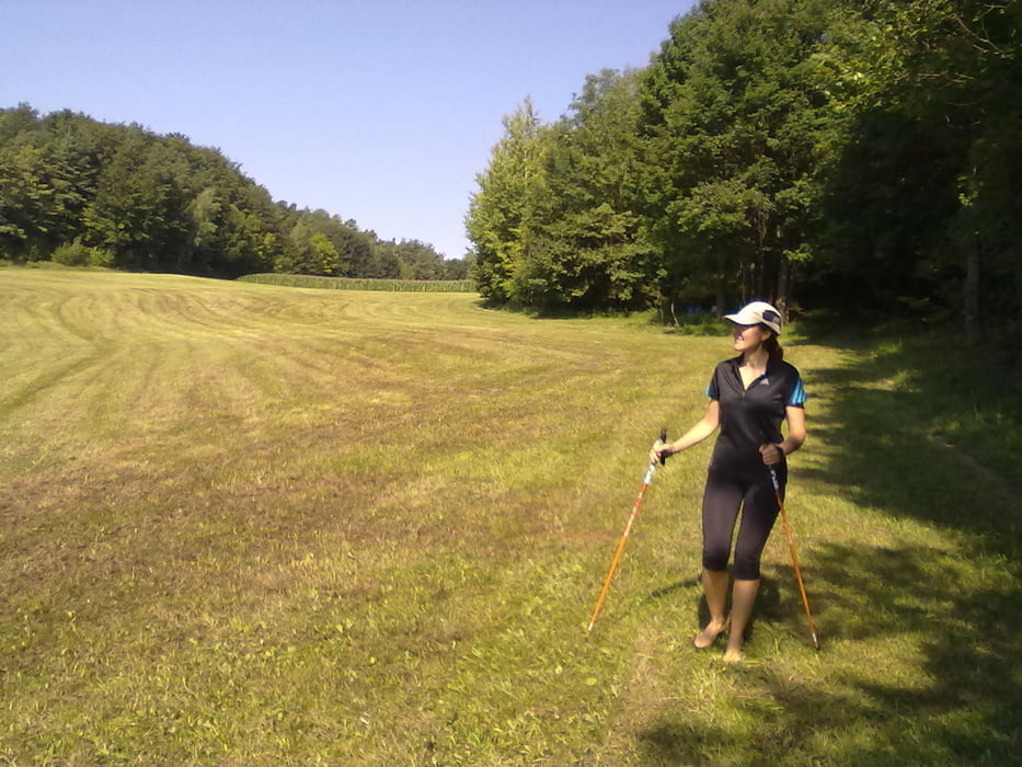
Noch beschuht überqueren wir die Eisenbahnlinie, danach links weiter auf dem Schotterweg. Am Ende des Schotterwegs beginnt nun unser Barfuß-Abenteuer...
1) Aufstieg zum Aussichtspunkt "Frauenstein"
2) vom "Frauenstein" Richtung Trainmeusel bis "Vogels Ruh"
3) Abstieg von "Vogels Ruh" durch den "Alten Graben"
4) Überqueren der B470, zurück über/neben der Promenade, bis zur "Fuß-Waschstation" an/in der Wiesent, kurz vor dem Brückla am "Brückla" in Muggendorf.
Further information at
http://www.stein-bayern.de/zu-fuss/barfuss-wandern/Tour gallery
Tour map and elevation profile
Minimum height 302 m
Maximum height 433 m
More about the tour author

|
Robert-Anton |
Comments

A 73 bis Forchheim, dann weiter auf B 470 in die Fränkische Schweiz, vorbei an Ebermannstadt bis Gemeinde Wiesenttal, OT Muggendorf. Hier zum "Brückla" am Wiesentweg.
GPS tracks
Trackpoints-
GPX / Garmin Map Source (gpx) download
-
TCX / Garmin Training Center® (tcx) download
-
CRS / Garmin Training Center® (crs) download
-
Google Earth (kml) download
-
G7ToWin (g7t) download
-
TTQV (trk) download
-
Overlay (ovl) download
-
Fugawi (txt) download
-
Kompass (DAV) Track (tk) download
-
Track data sheet (pdf) download
-
Original file of the author (gpx) download
More about the tour author
|
|
Robert-Anton |
Add to my favorites
Remove from my favorites
Edit tags
Open track
My score
Rate