Accesso

Hai dimenticato il login?

I cookie devono essere accettati!
La funzione cookie del suo browser è disattivata. Si prega di attivare la funzione.

Non sei ancora membro?

Registrati ora
Accesso

Possibile solo per gli utenti registrati

Effettua il login per poter utilizzare questa funzione.

Hai dimenticato il login?

I cookie devono essere accettati!
La funzione cookie del suo browser è disattivata. Si prega di attivare la funzione.

Non sei ancora membro?

Registrati ora
Filtro
Categorie
Filtri avanzati
  • Lunghezza (km)
  • Dislivello
Memorizza filtro Azzera il filtro

TrackRank

QRCode

Dati tecnici

Lunghezza5,9 km Dislivello142 m Discesa143 m Durata03:00 h:m Data17.09.2012
Valutazioni Autore Paesaggio Divertimento Condizione Tecnica

Statistica

221 Visualizzazioni Valutazioni 9 Download Media
Vota
  • Scheda tecnica
  • Come arrivare
  • Download

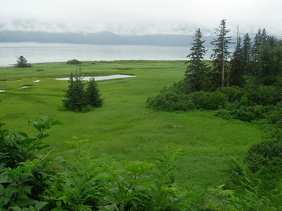
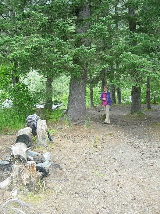
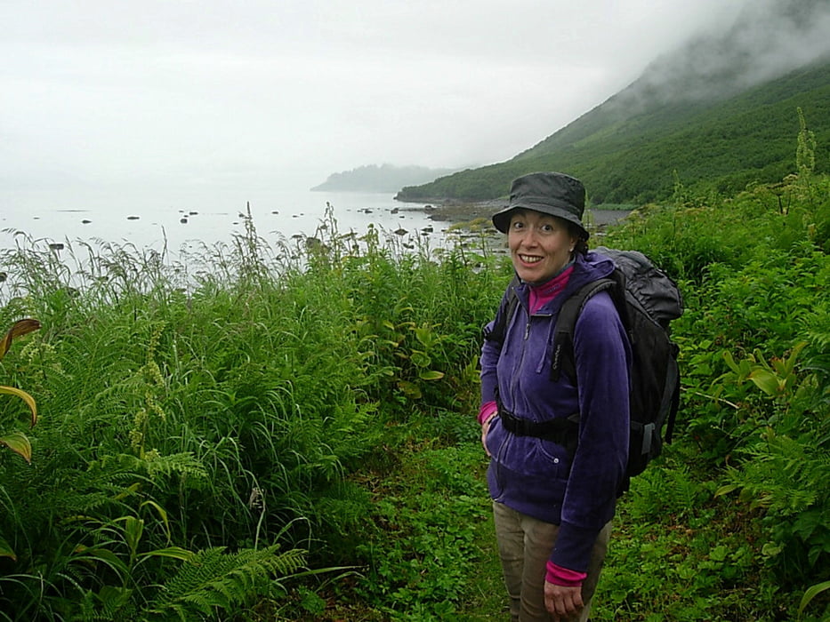
On a cloudy day we had this hiking on the trail which leads to Shoup Bay, the trail was muddy in the beginning, then easy to walk with some steep stretches of path, encountering some old bear poop on the narrow path which is bordered with dense vegetation. Nobody on the trail, save a couple which was on the way back with 2 dogs (they lucky!).
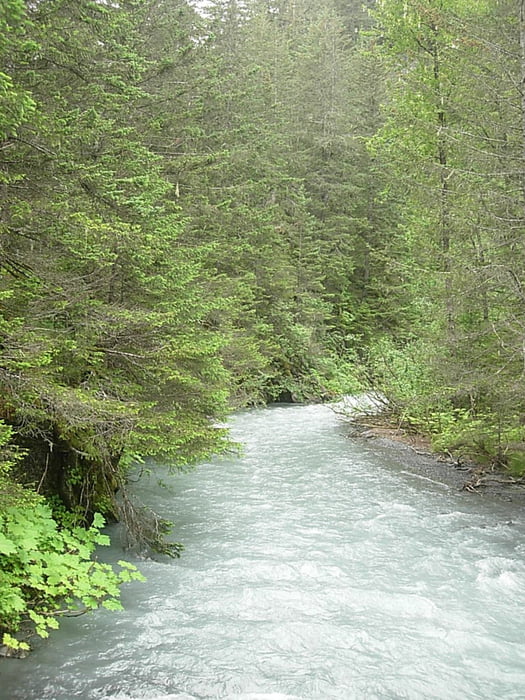
We reach Gold Creek, at the half of the trail to Shoup Bay. The day was not invitating to go ahead to Shoup Bay unfortunately, we had rain on the way back and we get to Valdez completely wet! Duration of the trail 1 way almost 3 hour from the centre of Valdez.

2012, 28 july


Galleria itinerari

Mappa itinerario e altimetria

  • Open Street Map
  • Google
Altezza minima Altezza massima 100 m Vista dettagliata

Maggiori informazioni sull'autore del tour

Fluxus
Membro dal 2010

Invia un messaggio privato

Commenti

Tracce GPS

Punti di traccia
  • GPX / Garmin Map Source (gpx) download
  • TCX / Garmin Training Center® (tcx) download
  • CRS / Garmin Training Center® (crs) download
  • Google Earth (kml) download
  • G7ToWin (g7t) download
  • TTQV (trk) download
  • Overlay (ovl) download
  • Fugawi (txt) download
  • Kompass (DAV) Track (tk) download
  • Scheda tecnica (pdf) download
  • File originale dell'autore (gpx) download

Maggiori informazioni sull'autore del tour

Fluxus
Membro dal 2010

Invia un messaggio privato
Share track
Aggiungi ai miei preferiti
Rimuovi dai miei preferiti
Modifica dei tag
Il mio voto
Vota
Itinerario: Da Valdez, Alaska a Shoup Bay - 2012, 28 july
Tipo: Itinerario escursionistico
Lunghezza: 5,9 km
Valutato su:
Durata:
Giorni/Diurni
Ora/Ore
Minuti
Valutazione: Paesaggio Divertimento Condizione Tecnica