

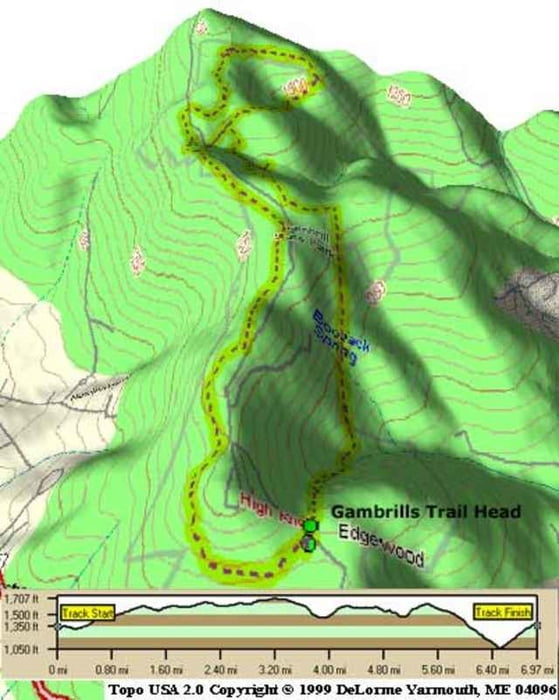

ROCKS, ROCKS AND MORE ROCKS. I love it, but there are a lot of rocks. This single track park has more trails than you can pass out after. Take a look at the map in the parking lot and plot a course. Watch out, because the blue trail is 100 hundred miles long if you decide to "see how far it goes". There is lots of elevation, so any which way you go will have some great downhill and technical uphill. There is a power-line trail with a really killer downhill, and a great downhill leading to the bottom of the mountain with virtually no rocks. The trails lead to some beautiful overlooks, so bring a camera if you can. This is an intermediate to advanced ride, so prepare accordingly. High tire pressure, spare tires, water, and bike tools are a must.
Ulteriori informazioni sotto
http://www.raidoh.comMappa itinerario e altimetria
Altezza minima 329 m
Altezza massima 538 m
Maggiori informazioni sull'autore del tour

|
Chad Schneider |
Commenti

Maggiori informazioni sull'autore del tour
|
|
Chad Schneider |
Aggiungi ai miei preferiti
Rimuovi dai miei preferiti
Modifica dei tag
Tour aperto


Il mio voto
Vota