

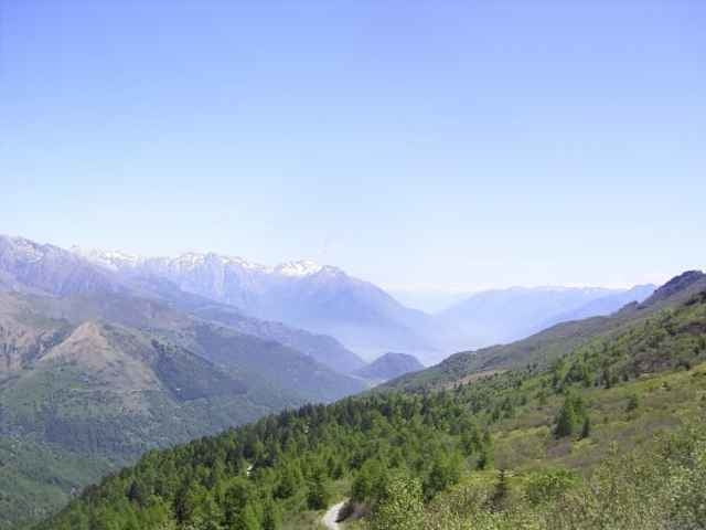

Tour from the lake of Como up to the Refugio San Jorio 2010m at the border of Switzerland. The way down is a long and heavy to drive old military street.
From the Refugio San Jorio 2010m (50m higher left) a single trail /sentiero starts to the Refugio San Giovo 1710m.
Alternative way down could be:
- the way back on the way up (good way)
- as before, at 1450m left to refugio Mottafoiada
- ride to Roveredo (Logo Magiore).
At the tourist office (i.g. head quater Domaso) you can buy the excellent map "Alto Lario" 1:35.000 (or ISBN 88-900896-2-8 6,20Euro).
You can also get
- the free mountain bike tour guide Alto Lario
- the free mountain bike tour guide of the region Como.
Domaso is good place for windsurfing, kiters you find at Gera Lario, Gera Lario is also a place for paragliding.
From the Refugio San Jorio 2010m (50m higher left) a single trail /sentiero starts to the Refugio San Giovo 1710m.
Alternative way down could be:
- the way back on the way up (good way)
- as before, at 1450m left to refugio Mottafoiada
- ride to Roveredo (Logo Magiore).
At the tourist office (i.g. head quater Domaso) you can buy the excellent map "Alto Lario" 1:35.000 (or ISBN 88-900896-2-8 6,20Euro).
You can also get
- the free mountain bike tour guide Alto Lario
- the free mountain bike tour guide of the region Como.
Domaso is good place for windsurfing, kiters you find at Gera Lario, Gera Lario is also a place for paragliding.
Ulteriori informazioni sotto
http://www.casarina.comGalleria itinerari
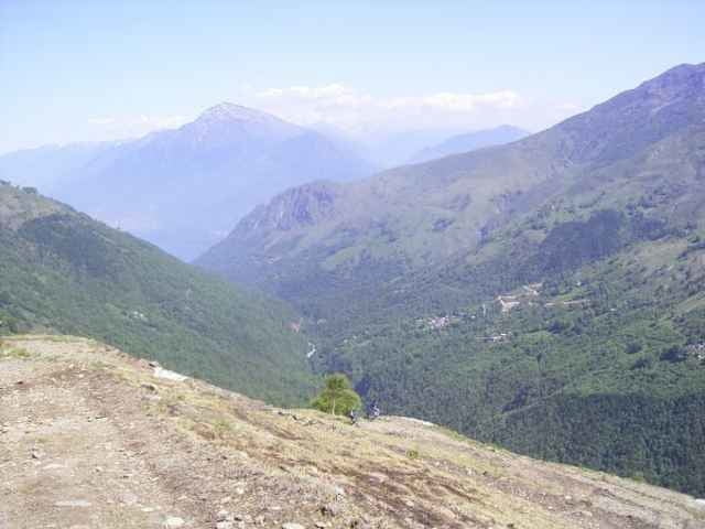
Mappa itinerario e altimetria
Altezza minima 223 m
Altezza massima 2041 m
Maggiori informazioni sull'autore del tour
|
|
skyhopper |
Commenti

Maggiori informazioni sull'autore del tour
|
|
skyhopper |
Aggiungi ai miei preferiti
Rimuovi dai miei preferiti
Modifica dei tag
Tour aperto


Il mio voto
Vota