


Col de Sommeiller (Colle Sommeiller) is a road pass on the Italian French border. It is rideable with a mountain bike. Because of the snow, the best time to reach the summit is high summer (mid-July to mid-August).
First 6km from Bardonecchia to Rochemolles is asphalted, after you pass small mountain village road has become unpaved but in good condition. After some serpentines you reach mountain meadows with a lot of cows.
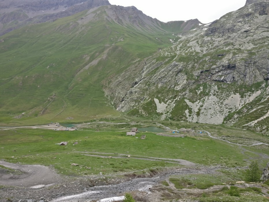
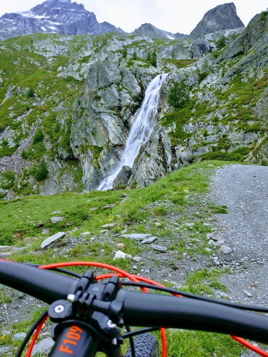
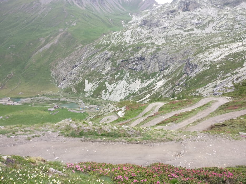
At the 2.000m over the sea level is the artificial Lake Lago di Rochemolles. As long as the road leads along the lake you can rest before climb to Rifugio Scarfioti near a small lake and in front of a waterfall. Pass the Rifugio Scarfioti and the road begins to climb with sharp serpentines. After climb you reach a plateau surrounded by high mountains.
After a little rest on the plateau, the road starts rising to the left. On the top you can be happy becasue of a short downhill or you can be sad becasuse you are losing some 10m of altitude. After this little paus road begins to climb again to the left and after 400m of climb you are on the top.
All the hard work is paid by downhill to Rochemolles. It is incredible and unforgettable. I was lucky and on the road there were no cars or motorbikes.
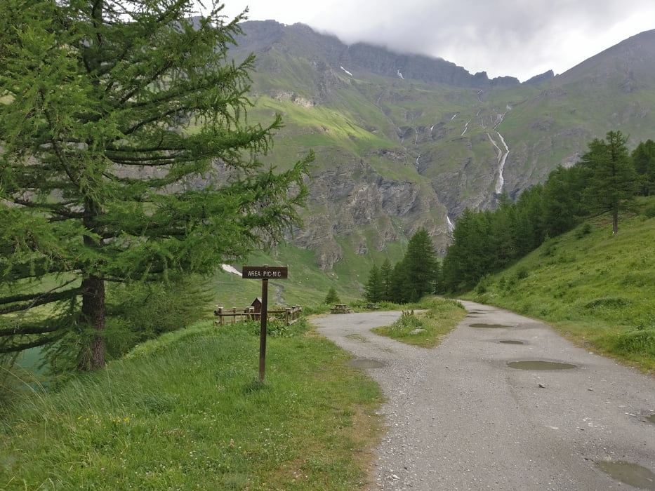
When you climb carefully observe the surroundings. I saw lots of beautiful flowers, marmots, wild goats and eagles in the sky.
Galleria itinerari
Mappa itinerario e altimetria
Altezza minima 1253 m
Altezza massima 2981 m
Maggiori informazioni sull'autore del tour
|
|
jstaric |
Commenti

Tracce GPS
Punti di traccia-
GPX / Garmin Map Source (gpx) download
-
TCX / Garmin Training Center® (tcx) download
-
CRS / Garmin Training Center® (crs) download
-
Google Earth (kml) download
-
G7ToWin (g7t) download
-
TTQV (trk) download
-
Overlay (ovl) download
-
Fugawi (txt) download
-
Kompass (DAV) Track (tk) download
-
Scheda tecnica (pdf) download
-
File originale dell'autore (gpx) download
Maggiori informazioni sull'autore del tour
|
|
jstaric |
Aggiungi ai miei preferiti
Rimuovi dai miei preferiti
Modifica dei tag
Tour aperto
Il mio voto
Vota