

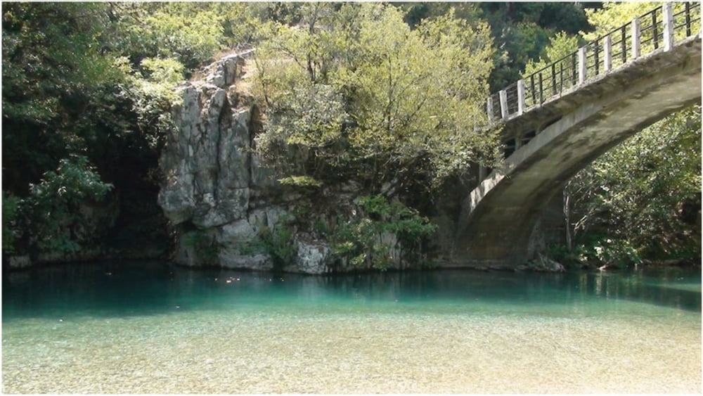

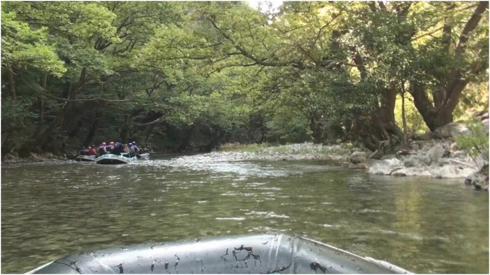
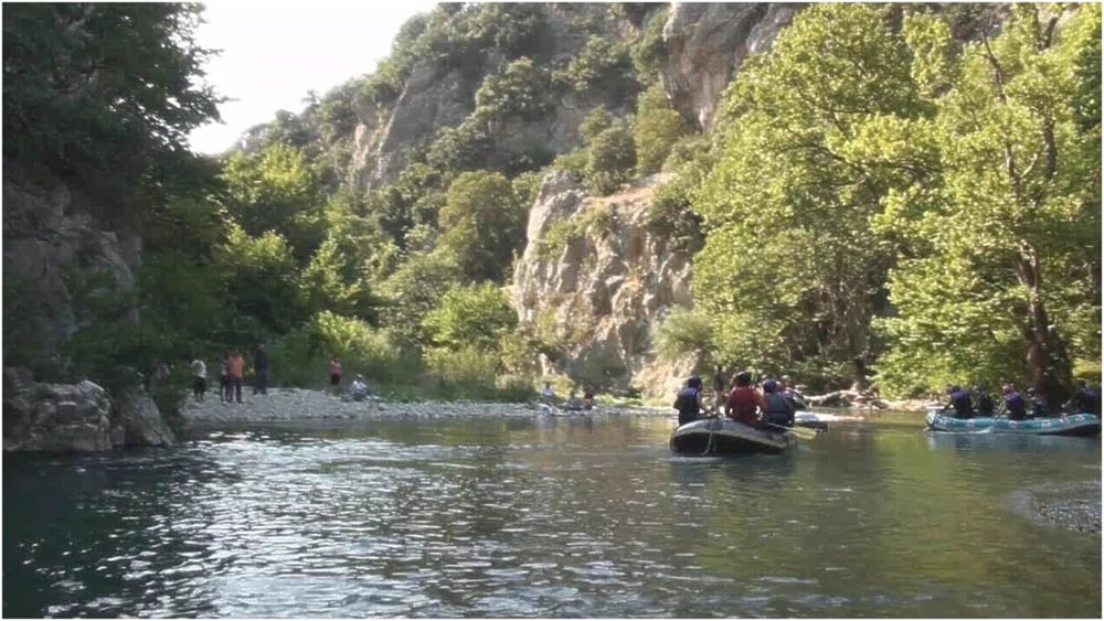
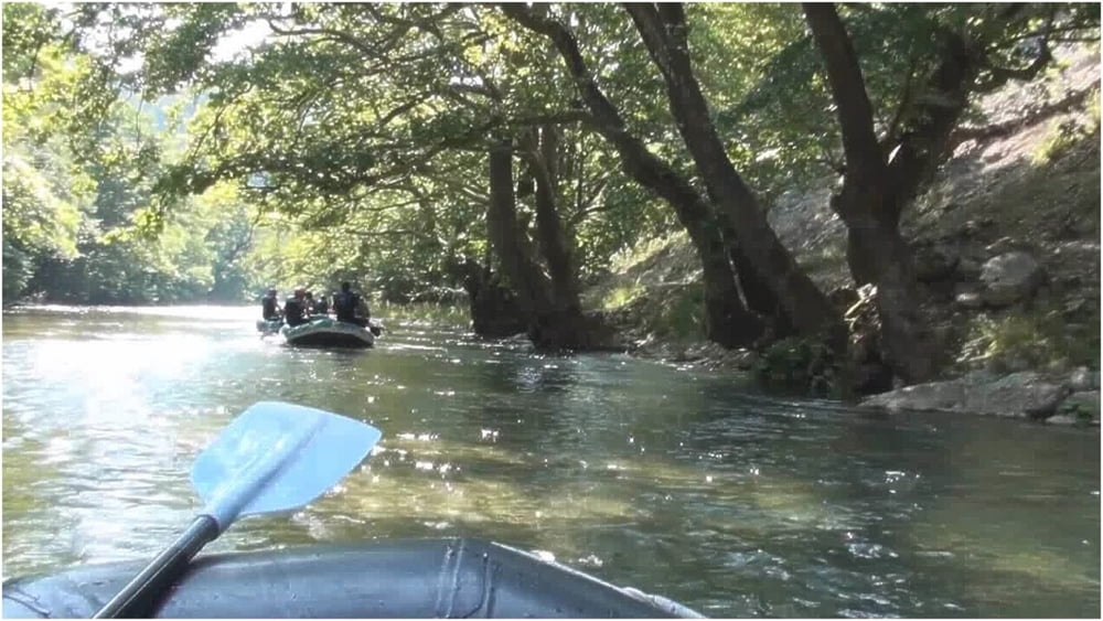
Rafting in River Voidomatis.
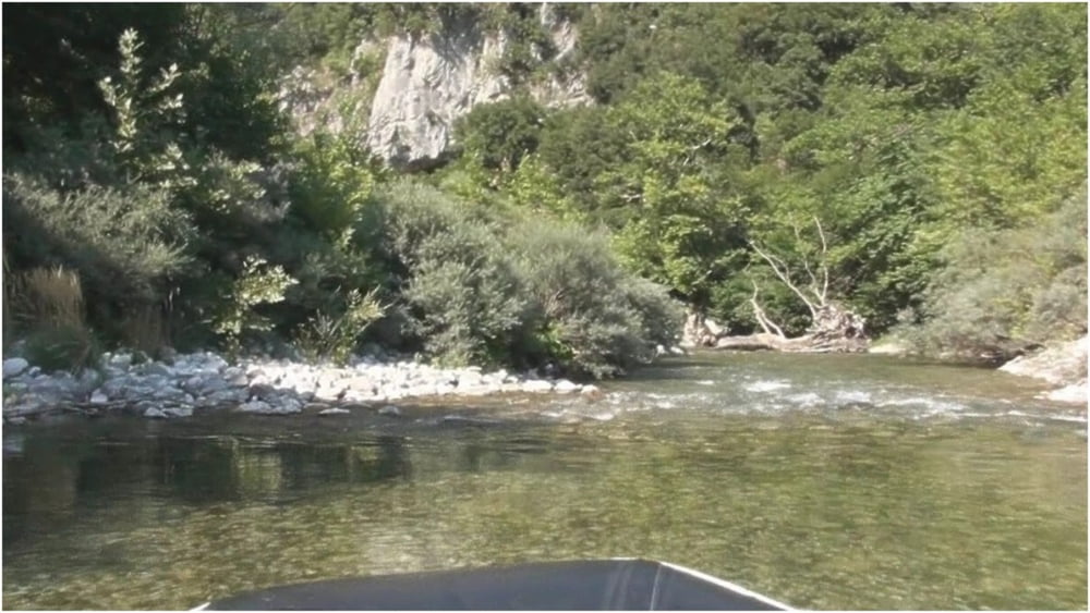
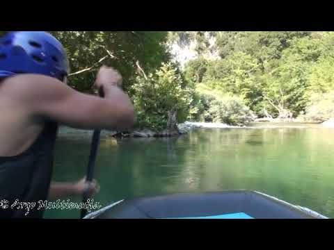
The Voidomatis is one of the cleanest rivers in Europe. Its springs are located in the Vickos Canyon (protected area). The river is passing through steep slopes, riparian forest and ends at the Konitsa plateau, where it joins the river Aoos.
The rafting route starts from the bridge of Aristi and finishes at the bridge Klidonia. It is a relatively easy route lasting one hour, with a little difficulty at the end where there is a small, artificial waterfall 2m height.
Rafting in Fluss Voidomatis.
Der Voidomatis ist einer der saubersten Flüsse Europas. Seine Quellen befinden sich in der Schlucht von Vickos (geschützter Bereich). Der Fluss fliesst durch steile Hänge, Auwald und endet an der Konitsa Hochebene, wo er mit dem Fluss Aoos verbindet.
Die Rafting Tour beginnt von der Brücke der Aristi und endet in der Brücke Klidonia. Es ist ein relativ einfacher Weg, einstündig, mit eine Schwierigkeit am Ende, wo es einen kleinen, künstlichen Wasserfall 2m Höhe gibt.
Next Tour : Hiking to the Springs of River Voidomatis.
https://www.gps-tour.info/en/tracks/detail.173195.html
Ulteriori informazioni sotto
https://en.wikipedia.org/wiki/VoidomatisGalleria itinerari
Mappa itinerario e altimetria
Altezza minima 400 m
Altezza massima 444 m
Maggiori informazioni sull'autore del tour
|
|
Argomultimedia |
Commenti

Maggiori informazioni sull'autore del tour
|
|
Argomultimedia |
Aggiungi ai miei preferiti
Rimuovi dai miei preferiti
Modifica dei tag
Tour aperto


Il mio voto
Vota