


This is just a short 5Km walk from the second cablecar station, back down to the start cablecar station in Malcesine, ideal for a morning or afternoon walk.
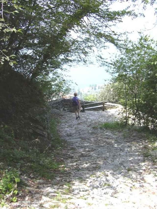
When you exit the 2nd cablecar station, walk up about 100 mtrs to find the footpath going to the left. Shortly you will come to the tiny church of St Michelle, stop a while and enjoy. The walk is not difficult, there is a short steep section on a cobbled path into Malcesine, but this just adds to the experience.
Once out of the wooded section there are many routes down into the town.
Galleria itinerari
Mappa itinerario e altimetria
Altezza minima 99 m
Altezza massima 590 m
Maggiori informazioni sull'autore del tour

|
SILVAED |
Commenti

The trail head is effectively the cablecar station in Malcesine. Get a cheap one-way ticket to the second station where the walk proper starts.
Tracce GPS
Punti di traccia-
GPX / Garmin Map Source (gpx) download
-
TCX / Garmin Training Center® (tcx) download
-
CRS / Garmin Training Center® (crs) download
-
Google Earth (kml) download
-
G7ToWin (g7t) download
-
TTQV (trk) download
-
Overlay (ovl) download
-
Fugawi (txt) download
-
Kompass (DAV) Track (tk) download
-
Scheda tecnica (pdf) download
-
File originale dell'autore (g7t) download
Maggiori informazioni sull'autore del tour
|
|
SILVAED |
Aggiungi ai miei preferiti
Rimuovi dai miei preferiti
Modifica dei tag
Tour aperto
Il mio voto
Vota