

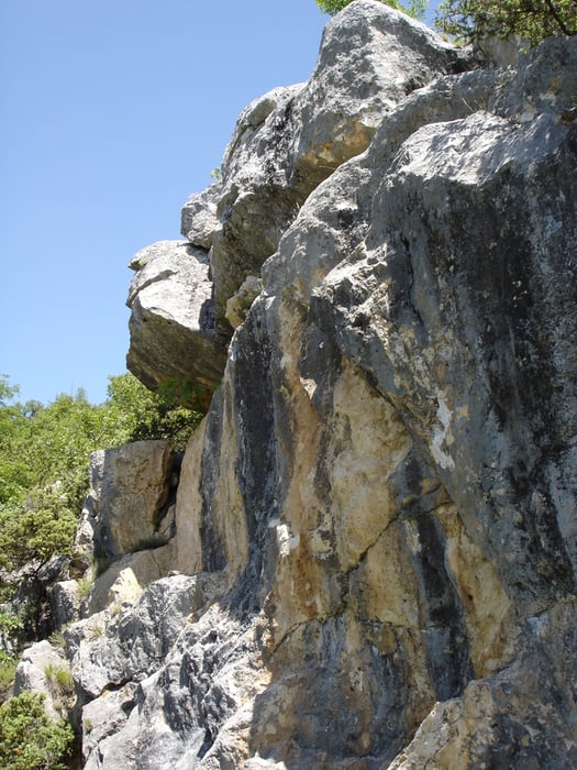

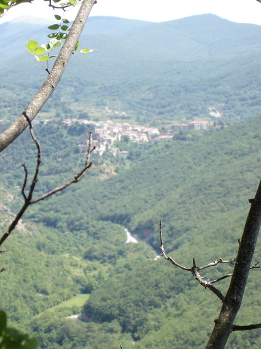
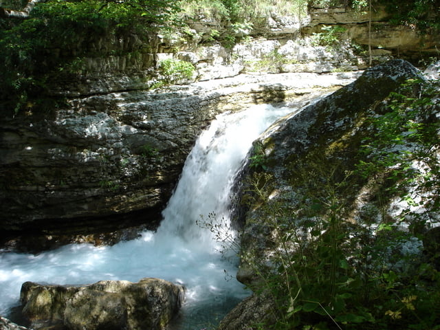
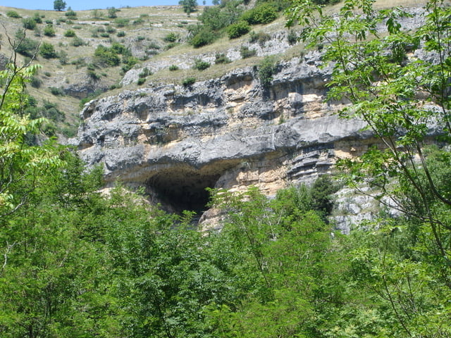
Bevor man die Schlucht betritt muss man im Besucherzentrum des Nationalparks (centro visitatori) eine kostenlose Genehmigung gegen Vorlage eines Ausweises ausstellen lassen. Auf schmalen Pfaden kann man dann eine sehr schöne Wanderung durch das Tal machen. Es besteht auch die Möglichkeit längere Wanderungen zu unternehmen.
Galleria itinerari
Mappa itinerario e altimetria
Altezza minima 537 m
Altezza massima 683 m
Maggiori informazioni sull'autore del tour

|
rödivomsee |
Commenti
Maggiori informazioni sull'autore del tour
|
|
rödivomsee |
Aggiungi ai miei preferiti
Rimuovi dai miei preferiti
Modifica dei tag
Tour aperto


Il mio voto
Vota
I did the walk
The far end of the trip, ponte valcione, is perfect for picnic.
Be sure to do the trip counter clockwise, going the south side of the valley first. That way the walk is more comfortable.