


Diese Spur ist hart, in den Plätzen zu finden, also ist ein gutes Diagramm wesentlich. Beginnen Sie, indem Sie sich nach links die Piratus Drahtseilbahn zur Oberseite nehmen, und drehen. Über der ersten Spitze, dann unten zu einem See und dann an in Richtung zu Tateshina-San. Vom theere verließ Umdrehung, vollständig zur Straße.
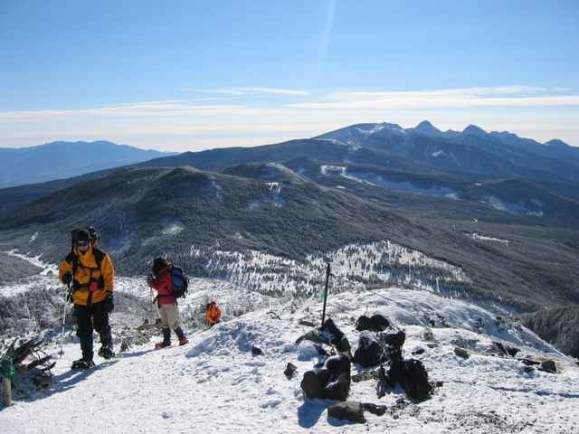
This trail is hard to find in places, so a good map is essential. Start by taking the Piratus ropeway to the top, and turning left. Over the first peak, then down to a lake, and then on towards Tateshina-san. From theere turn left, all the way to the road.
This trail is hard to find in places, so a good map is essential. Start by taking the Piratus ropeway to the top, and turning left. Over the first peak, then down to a lake, and then on towards Tateshina-san. From theere turn left, all the way to the road.
Galleria itinerari
Mappa itinerario e altimetria
Altezza minima 1672 m
Altezza massima 2485 m
Maggiori informazioni sull'autore del tour

|
zangezur |
Commenti

Maggiori informazioni sull'autore del tour
|
|
zangezur |
Aggiungi ai miei preferiti
Rimuovi dai miei preferiti
Modifica dei tag
Tour aperto


Il mio voto
Vota