
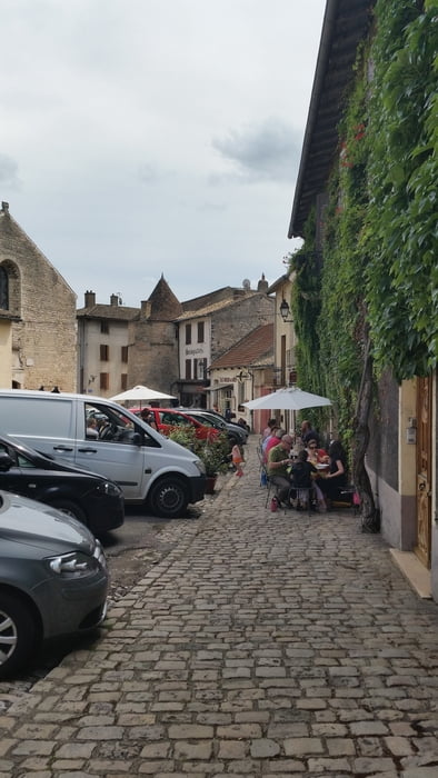

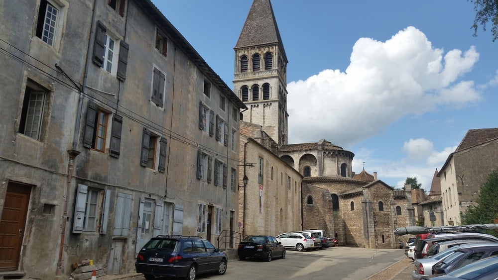
If you´re spending vacation in Burgundy, don´t miss a trip to the cities Chalon sur Saone and Tournus. Both are small cities next to the river Saone, with interesting landscapes and architecture. There´s much to see and do in and around Chalon. In Tournus you can buy wines, admire the architecture of houses and buildings, visit the abbey Saint Philibert or enjoy the haute cuisine in a restaurant.
Fotogalerie van de tocht

Kaart en hoogteprofiel van de tocht
Minimumhoogte 164 m
Maximale hoogte 239 m
Meer over de tour auteur

|
alonso100 |
Commentaren

The tour starts in Chalon sur Saone and ends in Tournus. The return is per train, which takes only few minutes to cover the distance back to Chalon. Pay attention that the doors and compartments in the wagons allow only 2 bikes per door, so a group of bikers must use the full length of the train.
This is part of a 6-day tour in the Burgundy with the bike and every tour is described individually.
GPS-tracks
Trackpoints-
GPX / Garmin Map Source (gpx) download
-
TCX / Garmin Training Center® (tcx) download
-
CRS / Garmin Training Center® (crs) download
-
Google Earth (kml) download
-
G7ToWin (g7t) download
-
TTQV (trk) download
-
Overlay (ovl) download
-
Fugawi (txt) download
-
Kompass (DAV) Track (tk) download
-
Pagina van de tocht (pdf) download
-
Origineel dossier van de auteur (gpx) download
Meer over de tour auteur
|
|
alonso100 |
Toevoegen aan mijn favorieten
Uit mijn favorieten verwijderen
Tags bewerken
Open track
Mijn waardering
Tarief