Inloggen

Login vergeten?

Cookies moeten worden aanvaard!
De cookiefunctie van uw browser is gedeactiveerd. Activeer de functie.

Ben je nog geen lid?

Registreer nu
Inloggen

Alleen mogelijk voor ingelogde gebruikers

Log in om deze functie te kunnen gebruiken.

Login vergeten?

Cookies moeten worden aanvaard!
De cookiefunctie van uw browser is gedeactiveerd. Activeer de functie.

Ben je nog geen lid?

Registreer nu
Filter
Categorieën
Geavanceerde filters
  • Lengte (km)
  • Hoogtemeter
Filter opslaan Filter resetten

TrackRank

QRCode

Technische gegevens

Lengte33,5 km Hoogtemeter643 m Afdaling640 m Duur02:30 h:m Datum22.10.2008
Beoordelingen Auteur Landschap Funfactor Conditie Techniek

Statistiek

1540 Views 1 Beoordeling 372 Downloads 1.00 Gemiddelde
Tarief
  • Pagina van de tocht
  • Route
  • Downloads

This is a combinatioon of 2 other tracks I have already published and is the best one for autumn and spring when the colours are at their finest.

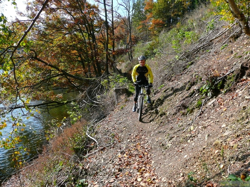
The scenery is breathtaking and some of the trails are quite tricky, especially the single trail round the edge of the lake at Robertville (this can easily be avoided by sticking to the road if you don't want the tricky route)

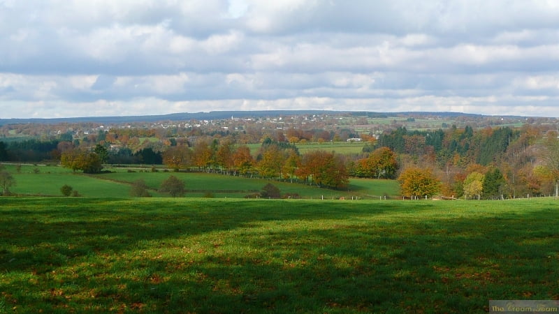
The scenery from above Robertville is fantastic.

You need pretty good condition for some of the very steep climbs

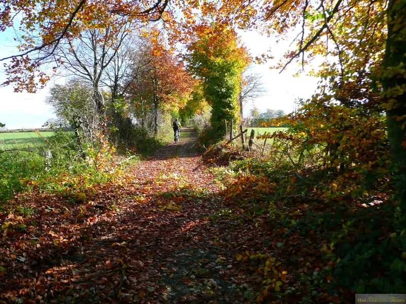
There are a few technical passages but they are not very long so if you have to walk them, it is not a disaster.

Verdere informatie onder

http://www.creamteam.be

Fotogalerie van de tocht

Kaart en hoogteprofiel van de tocht

  • Open Street Map
  • Google
Minimumhoogte 338 m Maximale hoogte 562 m Detailweergave

Meer over de tour auteur

Cream Team
Lid sinds 2007

Stuur een privébericht

Commentaren

Mark_Maurissen on 29.11.2009

tocht Malmedy

Wij rijden graag technisch met de fiets. Zeer 'mooie' tocht maar haal aub de 4sterren bij techniek weg en maak daar 1 of 2 van! Alvast bedankt, Mark
Start and finish at the cathedral in Malmedy and follow the track clockwise going up the Warche valley to the lake at Robertville

GPS-tracks

Trackpoints
  • GPX / Garmin Map Source (gpx) download
  • TCX / Garmin Training Center® (tcx) download
  • CRS / Garmin Training Center® (crs) download
  • Google Earth (kml) download
  • G7ToWin (g7t) download
  • TTQV (trk) download
  • Overlay (ovl) download
  • Fugawi (txt) download
  • Kompass (DAV) Track (tk) download
  • Pagina van de tocht (pdf) download
  • Origineel dossier van de auteur (gpx) download

Meer over de tour auteur

Cream Team
Lid sinds 2007

Stuur een privébericht
Share track
Toevoegen aan mijn favorieten
Uit mijn favorieten verwijderen
Tags bewerken
Mijn waardering
Tarief
Tocht: Malmedy Warche 04
Type: Mountainbike
Lengte: 33,5 km
Evaluated on:
Duur:
Dagen
Uurtjes
Minuten
Beoordeling: Landschap Funfactor Conditie Techniek