


MTB on Omberg
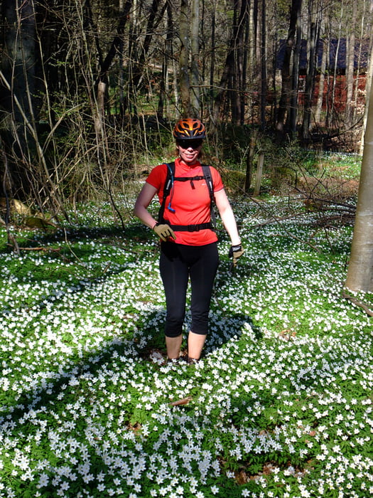
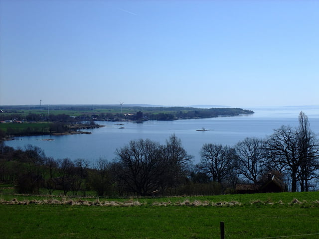
Omberg is beautifully situated by the shores of Lake Vättern. The flora is very varied and there are lots of flowers in spring time.
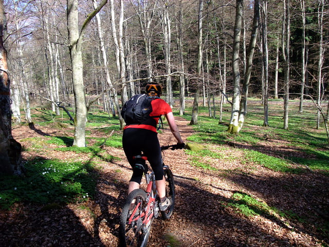
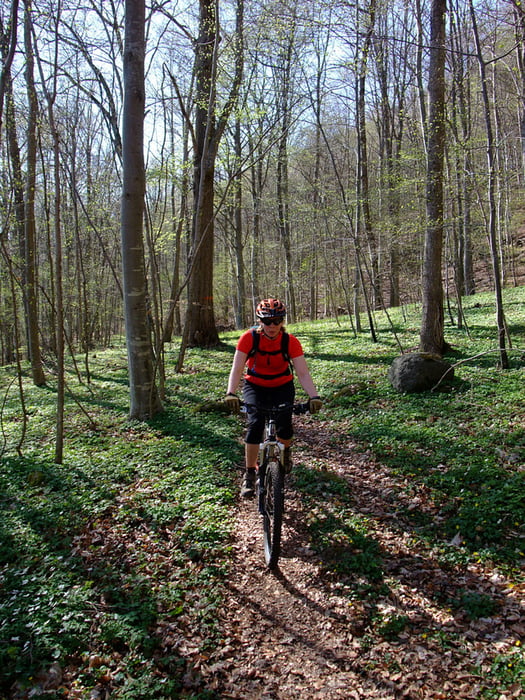
The forested hill Omberg is a popular area for outdoor avtivities and there are several hiking trails but not all of them suited for biking.Give way to walkers, be especially careful around the most popular areas around Hjässan, Ellen Key's Strand and Stocklycke.
The tour
This tour is best done clockwise and consists of a mixture of trails (64%), gravel (17%) and tarmac (19%).
There are challanging climbs, fast and fun downhills, lovely views of Lake Vättern and the surrounding plains.
Today we started and ended the loop at Ellen Key's Strand. Other possible starting points are; Ombergs Turisthotell, Stocklycke, Storpissan or Hjässatorget.
Food breaks
If you don't BYO, tehe are lunch and snack possibilities en-route at Ombergs Turishotell and Stocklycke. Close to the trail are Borghamn and Hästholmen.
Places to stay
Try the web site "Tiderna landskap - A Spritual Haven" www.tidernaslandskap.se/Default.asp
Verdere informatie onder
http://www.sveaskog.se/Jakt-fiske-och-friluftsliv/besoksomraden/ekoparker/Ekopark-Omberg/Fotogalerie van de tocht
Kaart en hoogteprofiel van de tocht
Minimumhoogte 80 m
Maximale hoogte 246 m
Meer over de tour auteur
|
|
Eva |
Commentaren
GPS-tracks
Trackpoints-
GPX / Garmin Map Source (gpx) download
-
TCX / Garmin Training Center® (tcx) download
-
CRS / Garmin Training Center® (crs) download
-
Google Earth (kml) download
-
G7ToWin (g7t) download
-
TTQV (trk) download
-
Overlay (ovl) download
-
Fugawi (txt) download
-
Kompass (DAV) Track (tk) download
-
Pagina van de tocht (pdf) download
-
Origineel dossier van de auteur (gpx) download
Meer over de tour auteur
|
|
Eva |
Toevoegen aan mijn favorieten
Uit mijn favorieten verwijderen
Tags bewerken
Open track
Mijn waardering
Tarief
Great tour!