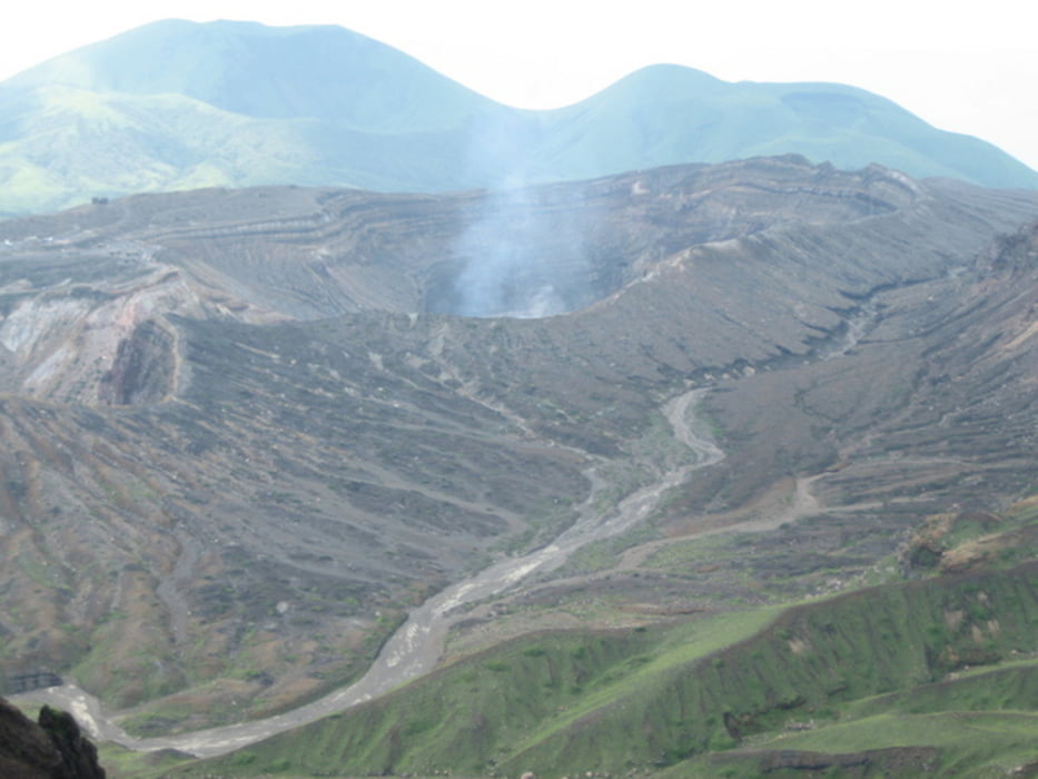
A long day tour to ascent the main mountains in the Aso caldera, passing by the volcanic crater itself.
The approach is unusal, coming from the south and returning to the north. But it's netherteless very beautiful to see both sides of the Aso caldera. And it's very quiet also.
Attention: The descent from 高岳 Takadake going south to the pass is overgrown with bushes and grass and very bad to see. And just right beside the way it goes down very quickly. So it's kinda dangerous.
Please only try it when you have enough energy, time and stamina left to watch every step and descent very carefully.
Another return route is maybe more favourable - or do the tour the other way round to reduce the risk of slipping down.
When you need more information just ask me and I will try to update here.
I also have other tracks in Kyushu which I can prepare and upload in case there is any interest.
Licenced as cc-by-sa: creativecommons.org/licenses/by-sa/3.0/
Kaart en hoogteprofiel van de tocht
Commentaren

Easy Access by Train from Kumamoto or Beppu/Oita
From Takamori you can go by bus to the Trailhead; it starts at the touristic information office. Otherwise it's only about 2km, so a Taxi would not be too expensive.
At the beginning of the track I missed the entrance of the hiking way. No need to follow my wrong turn over the highway.
GPS-tracks
Trackpoints-
GPX / Garmin Map Source (gpx) download
-
TCX / Garmin Training Center® (tcx) download
-
CRS / Garmin Training Center® (crs) download
-
Google Earth (kml) download
-
G7ToWin (g7t) download
-
TTQV (trk) download
-
Overlay (ovl) download
-
Fugawi (txt) download
-
Kompass (DAV) Track (tk) download
-
Pagina van de tocht (pdf) download
-
Origineel dossier van de auteur (gpx) download


