


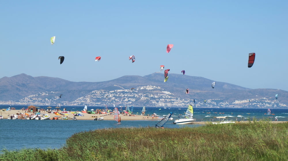
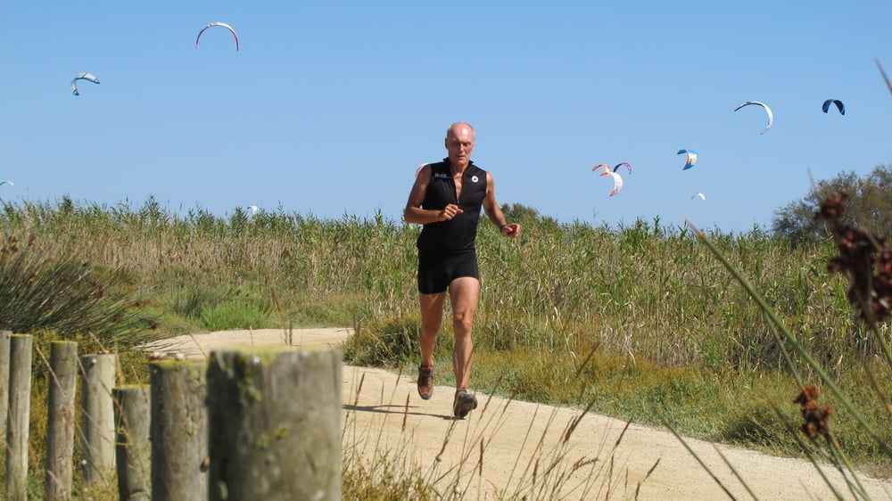
This is a nice run allong the beach and the Fluvia river with a nice view to the abient area and a lot of kiters if it is windy. The nicest area is from the end of the parking place at the beach along the river Fluvia - with two times 2km..
This running cycle can be used of all campers from the Sant Pere Pescador area like:
- La Ballena Alegre
- Las Dunas
- Aquarius
- L'Amfora
- Las Palmeras
- La Gaviota
- El Rio
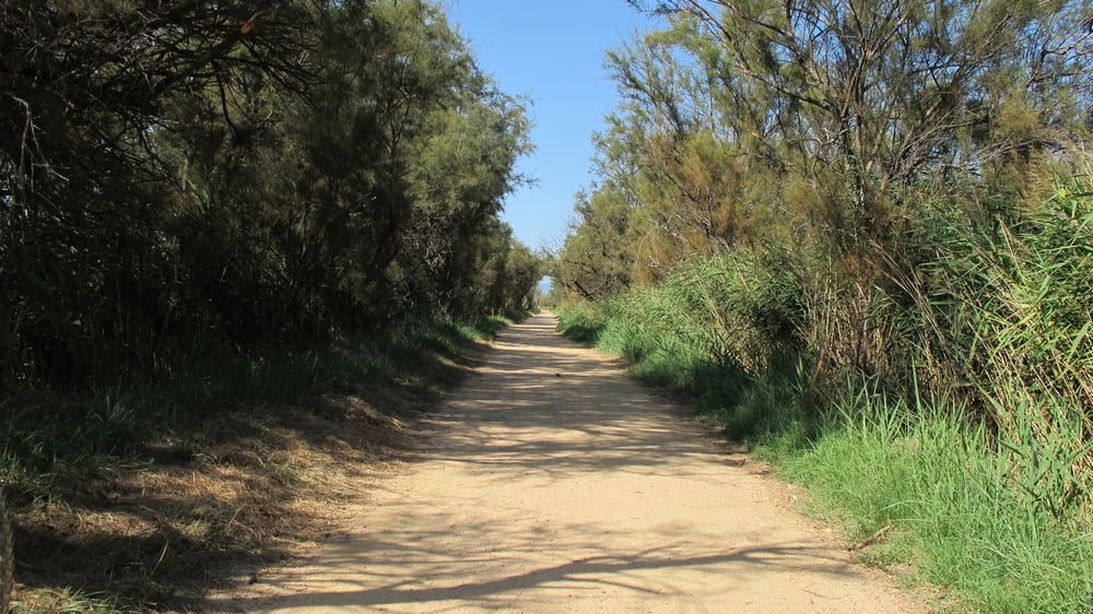
The best time for this run is early in the morning or late in the afternoon. You will have only a few places with shadow.
This tour was recorded with Garmin 62CS and post worked with Map Source.
Verdere informatie onder
http://hvdh.info/Fotogalerie van de tocht
Kaart en hoogteprofiel van de tocht
Minimumhoogte -4 m
Maximale hoogte 4 m
Meer over de tour auteur
|
|
HvdH |
Commentaren

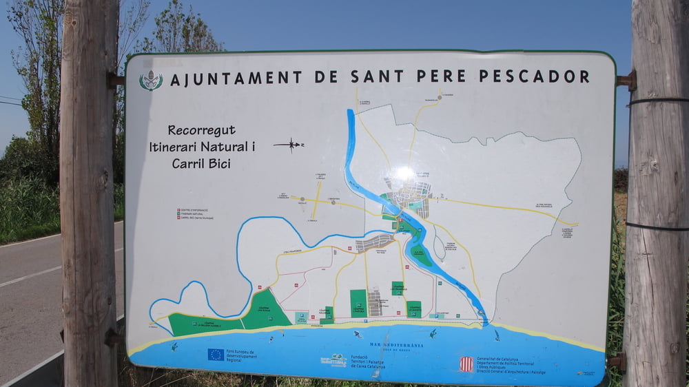
Starting point of this tour is „Camping Las Dunas“
You rich this camping via highway A7 – coming from the south exit 5 and than direction l’Escala.
You can use this running track from all camping places of the area from Sant Pere Pescador.
GPS-tracks
Trackpoints-
GPX / Garmin Map Source (gpx) download
-
TCX / Garmin Training Center® (tcx) download
-
CRS / Garmin Training Center® (crs) download
-
Google Earth (kml) download
-
G7ToWin (g7t) download
-
TTQV (trk) download
-
Overlay (ovl) download
-
Fugawi (txt) download
-
Kompass (DAV) Track (tk) download
-
Pagina van de tocht (pdf) download
-
Origineel dossier van de auteur (gpx) download
Meer over de tour auteur
|
|
HvdH |
Toevoegen aan mijn favorieten
Uit mijn favorieten verwijderen
Tags bewerken
Open track
Mijn waardering
Tarief