


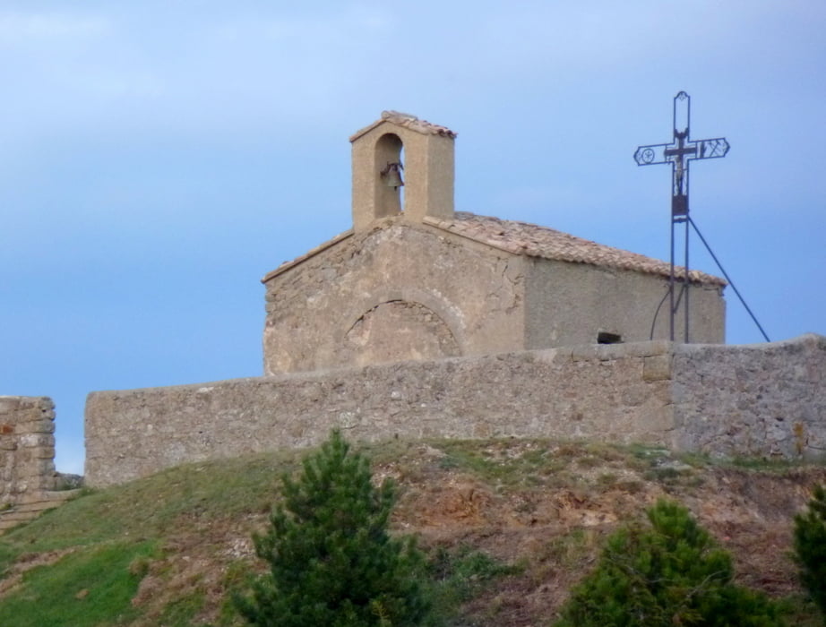
Rundwanderung mit herrlichen Ausblicken u.a. auf das Rhônetal,
Further information at
https://www.google.com/search?q=saint+romain+de+lerps&hl=de&newwindow=1&prmd=imvns&tbm=isch&tbo=u&source=univ&sa=X&ei=z0OUUKnjLIjptQavs4DoCg&sqi=2&ved=0CE8QsAQ&biw=1366&bih=681Галерея маршрутов


Карта маршрута и высотный профиль
Minimum height 488 m
Maximum height 660 m
More about the tour author
|
|
horst1508 |
Комментарии

Anfahrt mit Taxi vom Bahnhof Valence in 20-30 Minuten
GPS-Tracks
Trackpoints-
GPX / Garmin Map Source (gpx) download
-
TCX / Garmin Training Center® (tcx) download
-
CRS / Garmin Training Center® (crs) download
-
Google Earth (kml) download
-
G7ToWin (g7t) download
-
TTQV (trk) download
-
Overlay (ovl) download
-
Fugawi (txt) download
-
Kompass (DAV) Track (tk) download
-
Формуляр маршрута (pdf) download
-
Original file of the author (gpx) download
More about the tour author
|
|
horst1508 |
Add to my favorites
Remove from my favorites
Edit tags
Open track
My score
Rate