


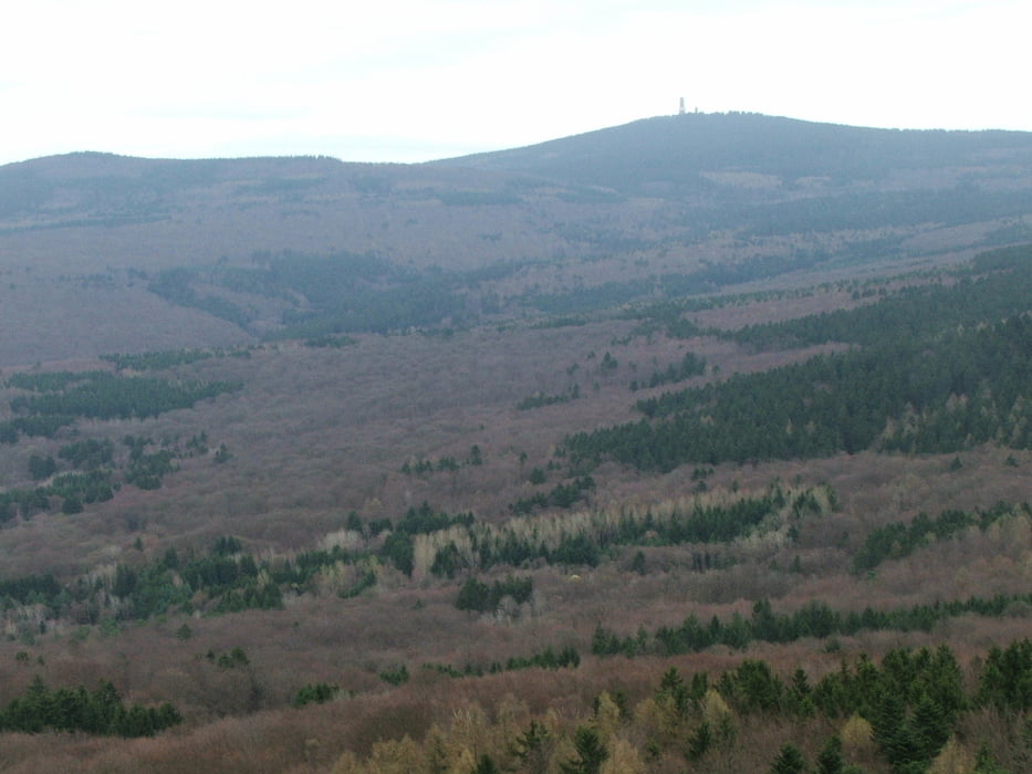
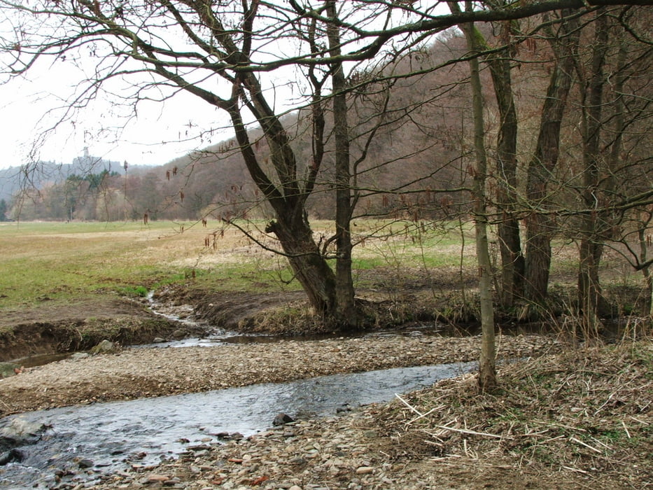
Wegverlauf: Eppstein - Wellbachtal - Dachsbau - Eppenhain - Atzelberg - Viktoriaweg - Schneidhain - Liederbachtal - Hornau - Kelkheim - Gimbacher Hof - Kaisertempel - Eppstein
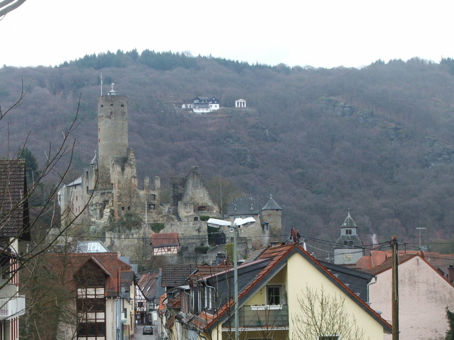
Lange Wanderung mit steilen Anstiegen. Aussichtsturm auf dem Atzelberg, vom Kaisertempel Tiefblick auf Eppstein.
Галерея маршрутов

Карта маршрута и высотный профиль
Minimum height 176 m
Maximum height 510 m
More about the tour author
|
|
lothardomnik |
Комментарии

Start- und Endpunkt ist der Bahnhof Eppstein (Linie S 2 von und nach Frankfurt). Abbruch oder Beginn ist auch in Kelkheim möglich, auch da Zugverbindung von und nach Frankfurt.
GPS-Tracks
Trackpoints-
GPX / Garmin Map Source (gpx) download
-
TCX / Garmin Training Center® (tcx) download
-
CRS / Garmin Training Center® (crs) download
-
Google Earth (kml) download
-
G7ToWin (g7t) download
-
TTQV (trk) download
-
Overlay (ovl) download
-
Fugawi (txt) download
-
Kompass (DAV) Track (tk) download
-
Формуляр маршрута (pdf) download
-
Original file of the author (gpx) download
More about the tour author
|
|
lothardomnik |
Add to my favorites
Remove from my favorites
Edit tags
Open track
My score
Rate