


Hike + Fly - Tour zum Flug an der Alpspitze - Nesselwang
Hinauf von der Talstation über den bekannten Tobelweg (wurzelig und rutschig) (->googlen) zur Bergstation. Einkehr beim Berghaus (Sportheim Böck)und dann ca. 5min hinunter Richtung Mittelstation zum Startplatz.
Am Landeplatz hat es ein gut bürgerliches Gasthaus (Alpengasthof Sonnenbichl) mit einladender Sonnenterasse.
Nordhang (Bisenfluggebiet)
http://www.alpspitzbahn.de/sommer/das-bergpanorama/
http://www.alpspitzbahn.de/berghuetten/
http://www.alpspitzbahn.de/webcam-bilder/
Further information at
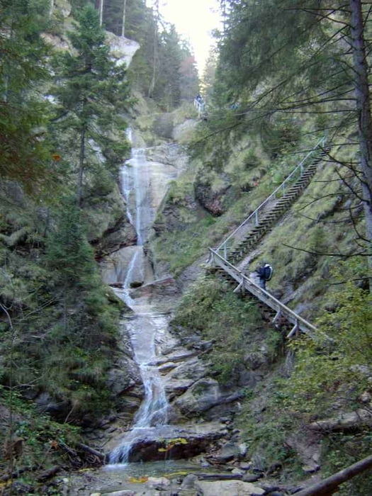
http://www.allgaeu-ausfluege.de/07nesselwasserfall.htmГалерея маршрутов
Карта маршрута и высотный профиль
Minimum height 869 m
Maximum height 1458 m
More about the tour author
|
|
skyhopper |
Комментарии

A7 bis Abfahrt O-Mittelberg, dann Richtung Nesselwang/ Pfronten
GPS-Tracks
Trackpoints-
GPX / Garmin Map Source (gpx) download
-
TCX / Garmin Training Center® (tcx) download
-
CRS / Garmin Training Center® (crs) download
-
Google Earth (kml) download
-
G7ToWin (g7t) download
-
TTQV (trk) download
-
Overlay (ovl) download
-
Fugawi (txt) download
-
Kompass (DAV) Track (tk) download
-
Формуляр маршрута (pdf) download
-
Original file of the author (gpx) download
More about the tour author
|
|
skyhopper |
Add to my favorites
Remove from my favorites
Edit tags
Open track
My score
Rate