Login

Забыл пароль?

Cookies have to be accepted!
Your browser's cookie functionality is disabled. Please enable this functionality.

Not a member yet?

Register now
Login

Available for registred users only

Log in to use this feature.

Забыл пароль?

Cookies have to be accepted!
Your browser's cookie functionality is disabled. Please enable this functionality.

Not a member yet?

Register now
Filter
Категории
Advanced filters
  • Длина (км)
  • Высотомер
Сохранить фильтр Reset filter

TrackRank

QRCode

Technical data

Длина54,2 km Высотомер859 m Way down762 m Длительность02:23 h:m Дата30.05.2013
Оценки Author Ландшафт Веселье Кондиция Техника

Статистика

106 Виды Оценки 3 Загрузки Среднее
Rate
  • Формуляр маршрута
  • Дорога
  • Загрузки

29.5.2013

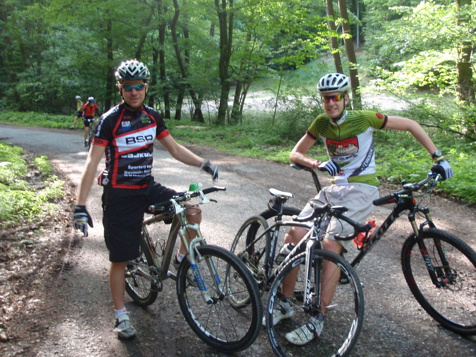
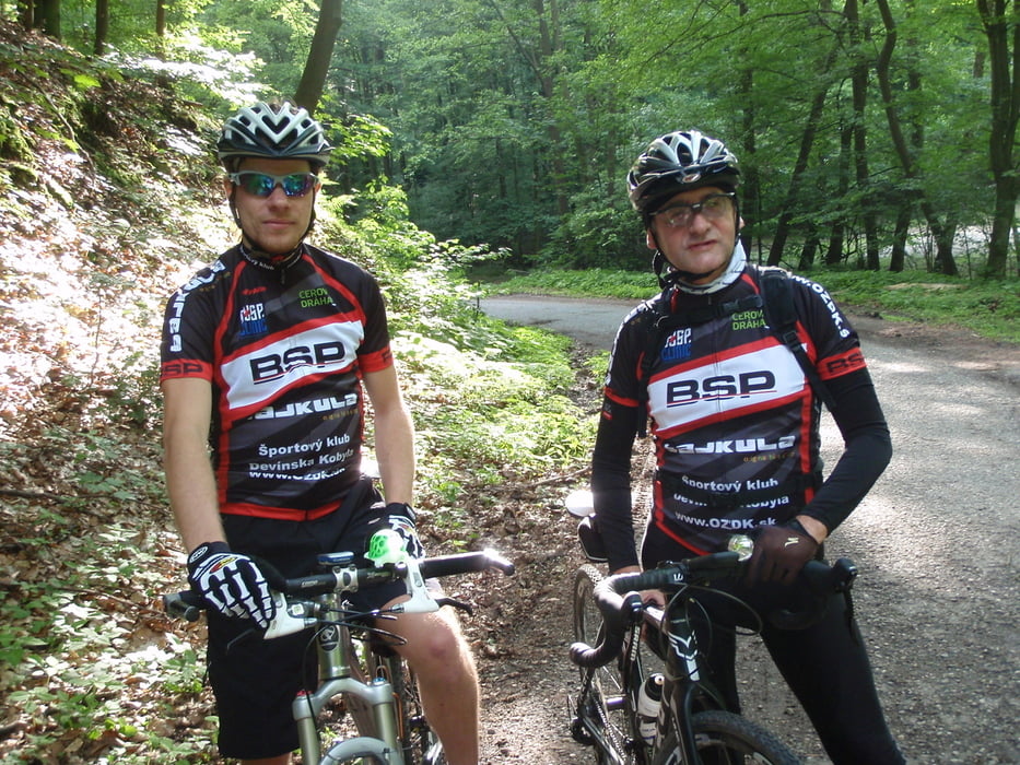
Zranený dynatom a chorý tmax sa vybrali na Biely kríž. Cestou sme pod Červeným krížom stretli Romana (teda dobehol nás). Hore teplý čaj. Dole sme stretli Milana, tak sme šli spolu opäť hore. Zbytočne sa hnal. Znovu čaj. :-) Celkom fajn bolo, vyskúšal som nový dres a kraťasy.

Галерея маршрутов

Карта маршрута и высотный профиль

  • Open Street Map
  • Google
Minimum height 180 m Maximum height 596 m Детальный вид

More about the tour author

tmax
Member since 2007

Send private message

Комментарии

BA-Dlhé Diely

GPS-Tracks

Trackpoints
  • GPX / Garmin Map Source (gpx) download
  • TCX / Garmin Training Center® (tcx) download
  • CRS / Garmin Training Center® (crs) download
  • Google Earth (kml) download
  • G7ToWin (g7t) download
  • TTQV (trk) download
  • Overlay (ovl) download
  • Fugawi (txt) download
  • Kompass (DAV) Track (tk) download
  • Формуляр маршрута (pdf) download
  • Original file of the author (gpx) download

More about the tour author

tmax
Member since 2007

Send private message
Share track
Add to my favorites
Remove from my favorites
Edit tags
My score
Rate
Маршрут: 20130529_Biely kríž
Вид: Горный велосипед
Длина: 54,2 km
Evaluated on:
Длительность:
Day(s)
Hour(s)
Minute(s)
Оценка: Ландшафт Веселье Кондиция Техника