
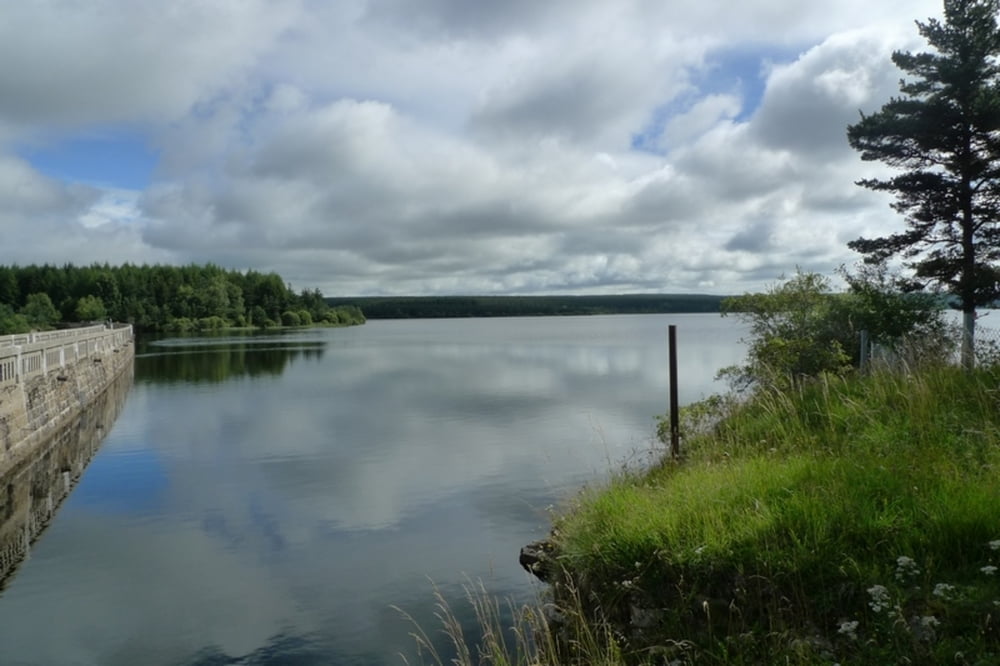

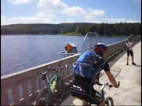
fr.wikipedia.org/wiki/Lac_de_Charpal
Further information at
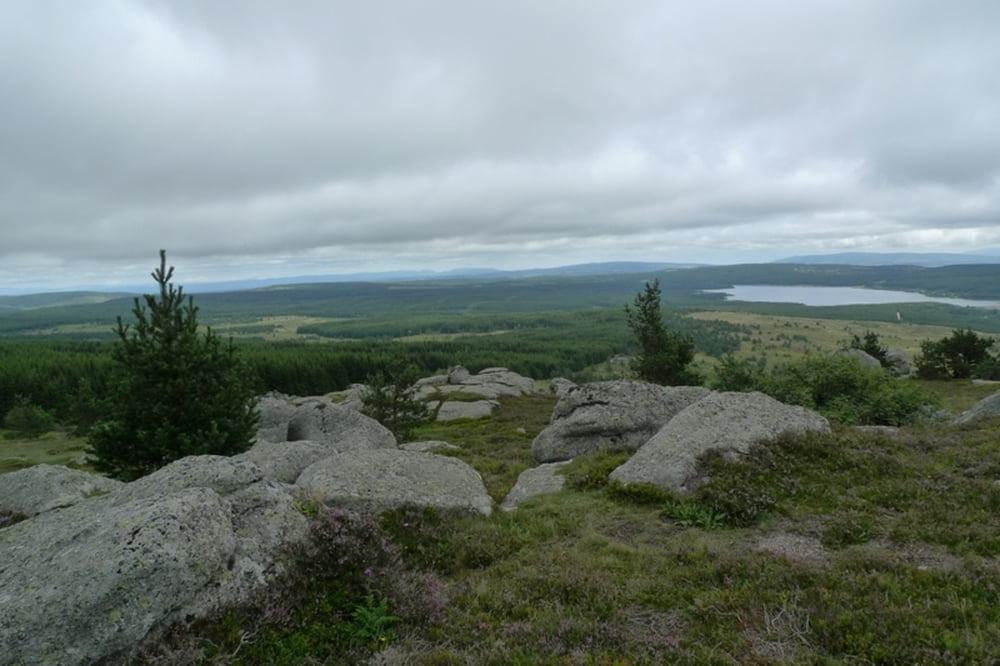
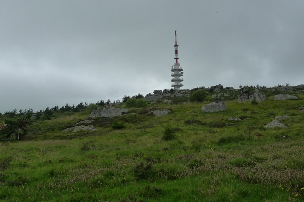
http://fr.wikipedia.org/wiki/Truc_de_FortunioГалерея маршрутов
Карта маршрута и высотный профиль
Minimum height 1320 m
Maximum height 1542 m
More about the tour author
|
|
Senecio |
Комментарии

GPS-Tracks
Trackpoints-
GPX / Garmin Map Source (gpx) download
-
TCX / Garmin Training Center® (tcx) download
-
CRS / Garmin Training Center® (crs) download
-
Google Earth (kml) download
-
G7ToWin (g7t) download
-
TTQV (trk) download
-
Overlay (ovl) download
-
Fugawi (txt) download
-
Kompass (DAV) Track (tk) download
-
Формуляр маршрута (pdf) download
-
Original file of the author (gpx) download
More about the tour author
|
|
Senecio |
Add to my favorites
Remove from my favorites
Edit tags
Open track
My score
Rate