


Wir starten am Hotel Astoria in Livigno und fahren ca. 10 Min. mit dem Hotel Shuttle Bus zum Tourenstartpunkt am linken Lago di Livigno Ufer.
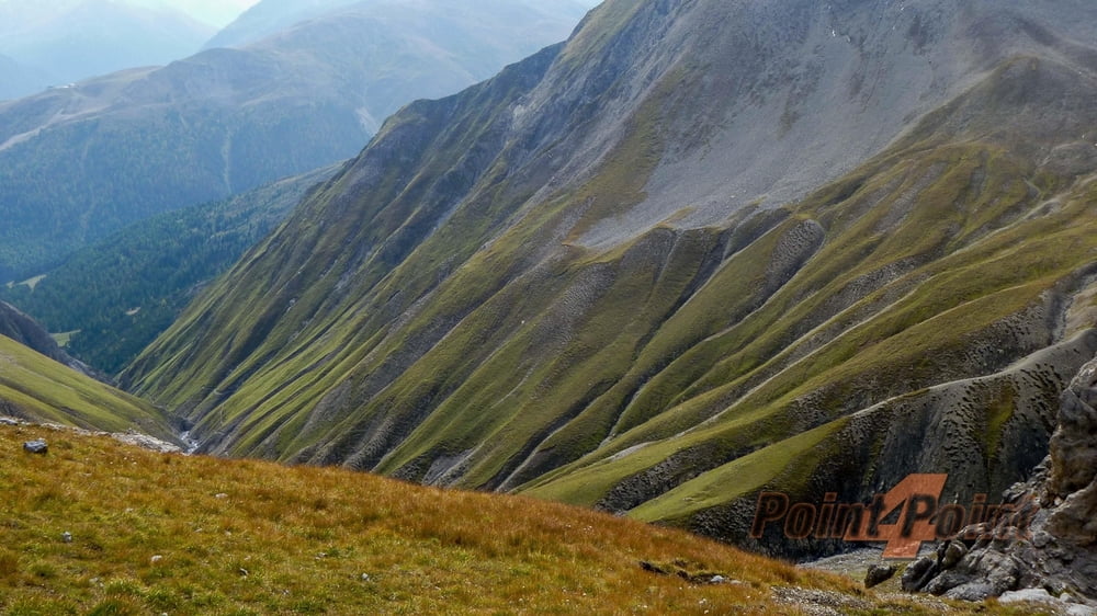
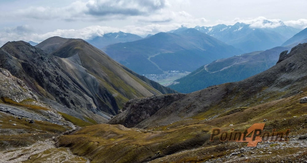
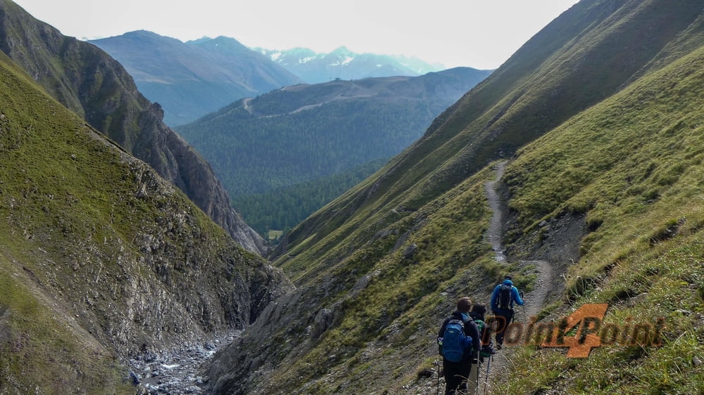
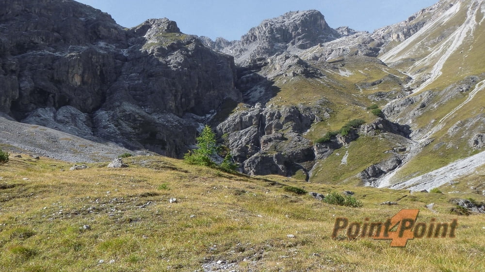
Die herrliche Rundtour zieht auf einem nicht zu unterschätzenden und sehr abwechslungsreichen Steig durch das Val Viera und zur Bochetta del Cantone (2751m). Ein steiler Abstieg bringt uns hinunter ins Valle del Saliente nach Calcheira (1859m). Hier werden wir dann vom Hotel Astoria Shuttle Bus eingesammelt und zurück nach Livigno gebracht.
Further information at
http://www.dav-summit-club.de/Галерея маршрутов
Карта маршрута и высотный профиль
Minimum height 1773 m
Maximum height 2763 m
More about the tour author
|
|
Pointer |
Комментарии

Von Augsburg über die B17 in Richtung Füssen nach Garmisch und weiter in Richtung Imst und Landeck. Durch die Schweiz und Pontresina nach Livigno (zollfreier Warenverkehr).
GPS-Tracks
Trackpoints-
GPX / Garmin Map Source (gpx) download
-
TCX / Garmin Training Center® (tcx) download
-
CRS / Garmin Training Center® (crs) download
-
Google Earth (kml) download
-
G7ToWin (g7t) download
-
TTQV (trk) download
-
Overlay (ovl) download
-
Fugawi (txt) download
-
Kompass (DAV) Track (tk) download
-
Формуляр маршрута (pdf) download
-
Original file of the author (gpx) download
More about the tour author
|
|
Pointer |
Add to my favorites
Remove from my favorites
Edit tags
Open track
My score
Rate