Login

Забыл пароль?

Cookies have to be accepted!
Your browser's cookie functionality is disabled. Please enable this functionality.

Not a member yet?

Register now
Login

Available for registred users only

Log in to use this feature.

Забыл пароль?

Cookies have to be accepted!
Your browser's cookie functionality is disabled. Please enable this functionality.

Not a member yet?

Register now
Filter
Категории
Advanced filters
  • Длина (км)
  • Высотомер
Сохранить фильтр Reset filter

TrackRank

QRCode

Technical data

Длина30,6 km Высотомер553 m Way down553 m Длительность3 days 0 h Дата31.01.2015
Оценки Author User Ландшафт Веселье Кондиция Техника

Статистика

591 Виды 1 Оценка 171 Загрузки 3.00 Среднее
Rate
  • Формуляр маршрута
  • Дорога
  • Загрузки

hele mooie tocht door een gebied wat eigenlijk niet door veel toeristen wordt bezocht .

komt heel soms wandelaars tegen wat geen problemen geeft.

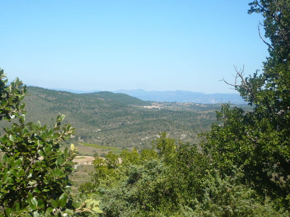
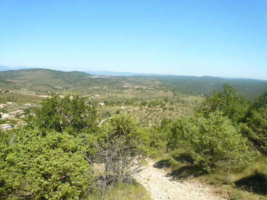
het uitzicht is een mengelmoesje van bosrijk tot panoramo uitzicht over vallon pont D'Árc


Галерея маршрутов

Карта маршрута и высотный профиль

  • Open Street Map
  • Google
Minimum height 86 m Maximum height 348 m Детальный вид

More about the tour author

badmuts
Member since 2014

Send private message

Комментарии

sentiero601 on 30.08.2018

Stones! Stones! Stones!

No funny downhills. Uphills also sometimes impossible to ride when paths are consisting of loose stones.
Insane 30% uphill on loose stones!
sentiero601 on 30.08.2018

Stones! Stones! Stones!

No funny downhills. Uphills also sometimes impossible to ride when paths are consisting of loose stones.
Insane 30% uphill on loose stones!

start vanuit vallon pont d'arc

gaat u richting villeneuve d berg (geografich gezien) en voert u door de val d. l'bie 

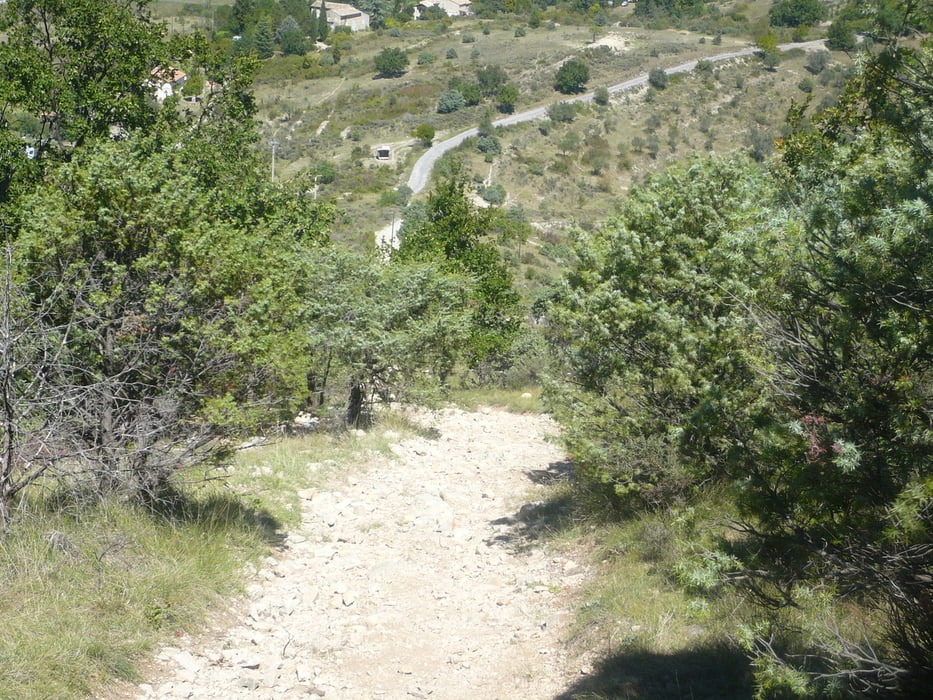
met een hele zware klim over losse stenen van 30% en loopt over een hele mooie heuvelrug .


GPS-Tracks

Trackpoints
  • GPX / Garmin Map Source (gpx) download
  • TCX / Garmin Training Center® (tcx) download
  • CRS / Garmin Training Center® (crs) download
  • Google Earth (kml) download
  • G7ToWin (g7t) download
  • TTQV (trk) download
  • Overlay (ovl) download
  • Fugawi (txt) download
  • Kompass (DAV) Track (tk) download
  • Формуляр маршрута (pdf) download
  • Original file of the author (gpx) download

More about the tour author

badmuts
Member since 2014

Send private message
Share track
Add to my favorites
Remove from my favorites
Edit tags
My score
Rate
Маршрут: tour val de L'Bie
Вид: Горный велосипед
Длина: 30,6 km
Evaluated on:
Длительность:
Day(s)
Hour(s)
Minute(s)
Оценка: Ландшафт Веселье Кондиция Техника