Login

Забыл пароль?

Cookies have to be accepted!
Your browser's cookie functionality is disabled. Please enable this functionality.

Not a member yet?

Register now
Login

Available for registred users only

Log in to use this feature.

Забыл пароль?

Cookies have to be accepted!
Your browser's cookie functionality is disabled. Please enable this functionality.

Not a member yet?

Register now
Filter
Категории
Advanced filters
  • Длина (км)
  • Высотомер
Сохранить фильтр Reset filter

TrackRank

QRCode

Technical data

Длина43,6 km Высотомер989 m Way down995 m Длительность00:00 h:m Дата13.12.2015
Оценки Author Ландшафт Веселье Кондиция Техника

Статистика

252 Виды Оценки 16 Загрузки Среднее
Rate
  • Формуляр маршрута
  • Дорога
  • Загрузки

von Rohrbach auf Güterwegen nach Aigen im Mühlkreis

Aufstieg vorbei an der Adalberg Stifter Herberge zum Parkplatz Bärenstein

weiter auf Forststraße nach Schöneben

Abfahrt nach Hintenberg und Auffahrt nach Ödenkirchen

weiter auf dem Hochbüchelweg retour nach Rohrbach
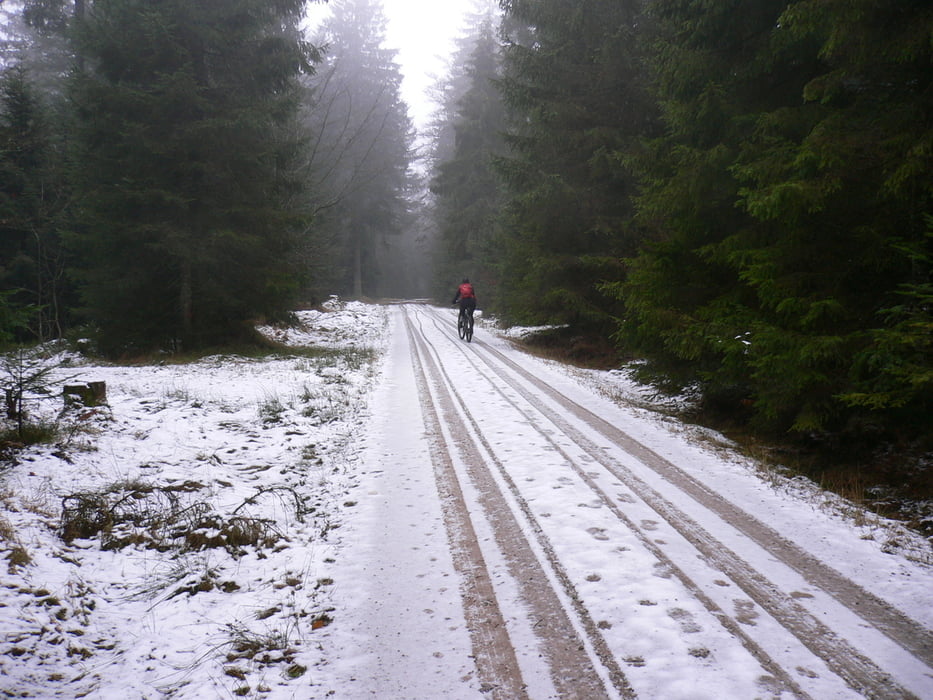
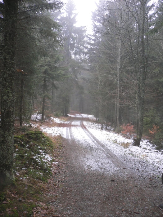
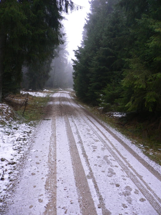
Галерея маршрутов

Карта маршрута и высотный профиль

  • Open Street Map
  • Google
Minimum height 530 m Maximum height 1037 m Детальный вид

More about the tour author

Hoar
Member since 2009

Send private message

Комментарии

GPS-Tracks

Trackpoints
  • GPX / Garmin Map Source (gpx) download
  • TCX / Garmin Training Center® (tcx) download
  • CRS / Garmin Training Center® (crs) download
  • Google Earth (kml) download
  • G7ToWin (g7t) download
  • TTQV (trk) download
  • Overlay (ovl) download
  • Fugawi (txt) download
  • Kompass (DAV) Track (tk) download
  • Формуляр маршрута (pdf) download
  • Original file of the author (gpx) download

More about the tour author

Hoar
Member since 2009

Send private message
Share track
Add to my favorites
Remove from my favorites
Edit tags
My score
Rate
Маршрут: Böhmerwald von Rohrbach aus Schöneben Bärenstein Hochbühelweg
Вид: Горный велосипед
Длина: 43,6 km
Evaluated on:
Длительность:
Day(s)
Hour(s)
Minute(s)
Оценка: Ландшафт Веселье Кондиция Техника