


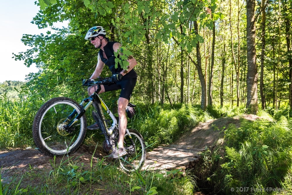
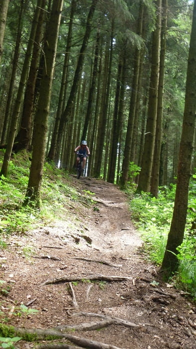
Startpunkt ist wie so oft schon hier in Lechhausen. Es geht abermals in den Derchinger Forst und wir haben bis Dato mal wieder 2 neue Trails in diesem Track.
Diese waren so angeordnet, dass wir sie zuerst hochgefahren und danach zurück zum Ausgangspunkt gefahren sind. Spaß haben sie uns auch gemacht, da sie etwas länger zu fahren waren und dabei schön wurzelig blieben und sie mit 6% für wahrscheinlich so ziemlich jeden zu fahren sind...
Also, für euch good rocking... ;)
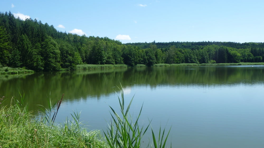
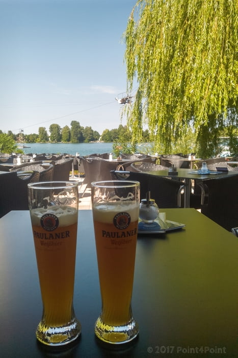
Danach sind wir noch ins Seehaus und haben uns eine schöne Diavolo Pizza nebst Woizn schmecken lassen und das alles bei bestem Sommerwetter. Mehr brauchts net... :)
Further information at
https://lacommedia.eu/seehausГалерея маршрутов
Карта маршрута и высотный профиль
Minimum height 482 m
Maximum height 559 m
More about the tour author
|
|
Pointer |
Комментарии

Koine. Wie immer in Lechhausen gestartet.
GPS-Tracks
Trackpoints-
GPX / Garmin Map Source (gpx) download
-
TCX / Garmin Training Center® (tcx) download
-
CRS / Garmin Training Center® (crs) download
-
Google Earth (kml) download
-
G7ToWin (g7t) download
-
TTQV (trk) download
-
Overlay (ovl) download
-
Fugawi (txt) download
-
Kompass (DAV) Track (tk) download
-
Формуляр маршрута (pdf) download
-
Original file of the author (gpx) download
More about the tour author
|
|
Pointer |
Add to my favorites
Remove from my favorites
Edit tags
Open track
My score
Rate