
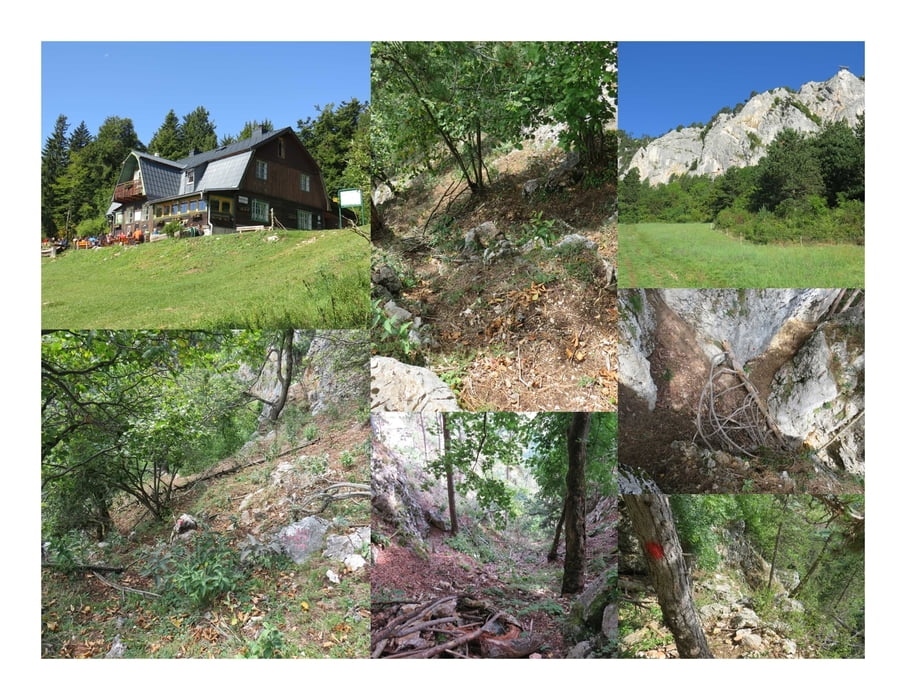

Dieser Steig wird wohl nicht mehr so oft benützt. Die Markierungen sind zwar da aber schon etwas verblasst und durch den Steinschlag ist der ursprüngliche Pfad nicht mehr überall begehbar. Es geht steil nach unten. Großteils über steile Erdestellen und Felsen.
Unten stoße ich auf den Wandfußweg. Ich folge ihm bergab und bergauf bis er zu einer Forststraße wird und in den Sonnenuhrparkplatz mündet.
Further information at
http://hubertushaus.gebirgsverein.at/Карта маршрута и высотный профиль
Minimum height 727 m
Maximum height 930 m
More about the tour author
|
|
huberj59 |
Комментарии

Wie so oft habe ich mein Auto am Sonnenuhrparkplatz abgestellt. Diser liegt an den Koordinaten: N47 49 40.1 E16 03 01.2 und ist über Maiersdorf erreichbar.
Achtung: Die Zufahrtsstraße ist am Wochenende mautpflichtig!
GPS-Tracks
Trackpoints-
GPX / Garmin Map Source (gpx) download
-
TCX / Garmin Training Center® (tcx) download
-
CRS / Garmin Training Center® (crs) download
-
Google Earth (kml) download
-
G7ToWin (g7t) download
-
TTQV (trk) download
-
Overlay (ovl) download
-
Fugawi (txt) download
-
Kompass (DAV) Track (tk) download
-
Формуляр маршрута (pdf) download
-
Original file of the author (gpx) download
More about the tour author
|
|
huberj59 |
Add to my favorites
Remove from my favorites
Edit tags
Open track
My score
Rate