Login

Забыл пароль?

Cookies have to be accepted!
Your browser's cookie functionality is disabled. Please enable this functionality.

Not a member yet?

Register now
Login

Available for registred users only

Log in to use this feature.

Забыл пароль?

Cookies have to be accepted!
Your browser's cookie functionality is disabled. Please enable this functionality.

Not a member yet?

Register now
Filter
Категории
Advanced filters
  • Длина (км)
  • Высотомер
Сохранить фильтр Reset filter

TrackRank

QRCode

Technical data

Длина9,0 km Высотомер87 m Way down91 m Длительность00:00 h:m Дата11.02.2018
Оценки Author Ландшафт Веселье Кондиция Техника

Статистика

311 Виды Оценки 7 Загрузки Среднее
Rate
  • Формуляр маршрута
  • Дорога
  • Загрузки

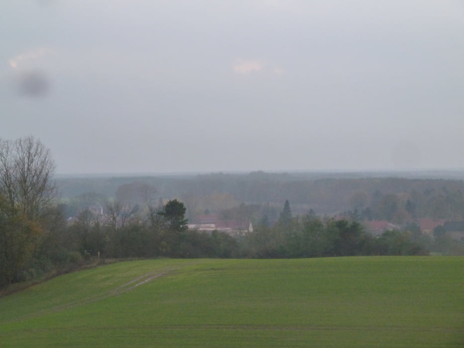
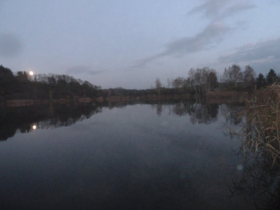
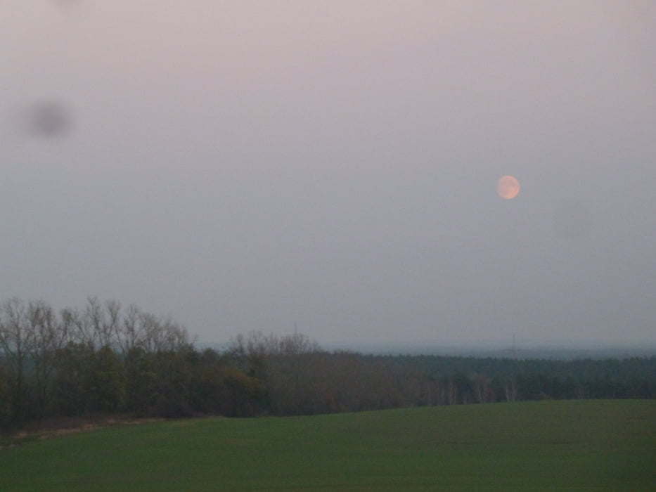
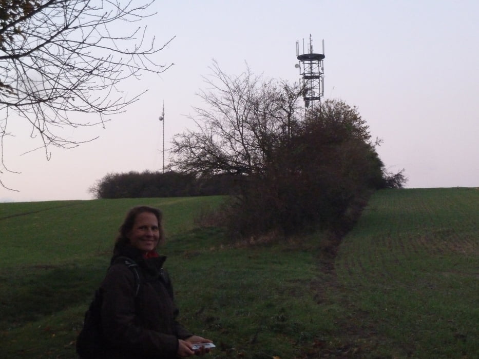
Rundkurs zwischen Sperenberg und Kummersdorf-Gut.

Landschaftlich sehr schön mit wechselndem Untergrund,

einfach eine tolle Runde

Галерея маршрутов

Карта маршрута и высотный профиль

  • Open Street Map
  • Google
Minimum height 71 m Maximum height 102 m Детальный вид

More about the tour author

Daxtuning
Member since 2018

Send private message

Комментарии

Parkplatz am Standbad Sperenberg oder in Kummersdorf-Gut, An der Waldkante, 15838 Am Mellensee

GPS-Tracks

Trackpoints
  • GPX / Garmin Map Source (gpx) download
  • TCX / Garmin Training Center® (tcx) download
  • CRS / Garmin Training Center® (crs) download
  • Google Earth (kml) download
  • G7ToWin (g7t) download
  • TTQV (trk) download
  • Overlay (ovl) download
  • Fugawi (txt) download
  • Kompass (DAV) Track (tk) download
  • Формуляр маршрута (pdf) download
  • Original file of the author (gpx) download

More about the tour author

Daxtuning
Member since 2018

Send private message
Share track
Add to my favorites
Remove from my favorites
Edit tags
My score
Rate
Маршрут: Rundkurs Sperenberg / Kummersdorf Gut
Вид: Бег
Длина: 9,0 km
Evaluated on:
Длительность:
Day(s)
Hour(s)
Minute(s)
Оценка: Ландшафт Веселье Кондиция Техника