


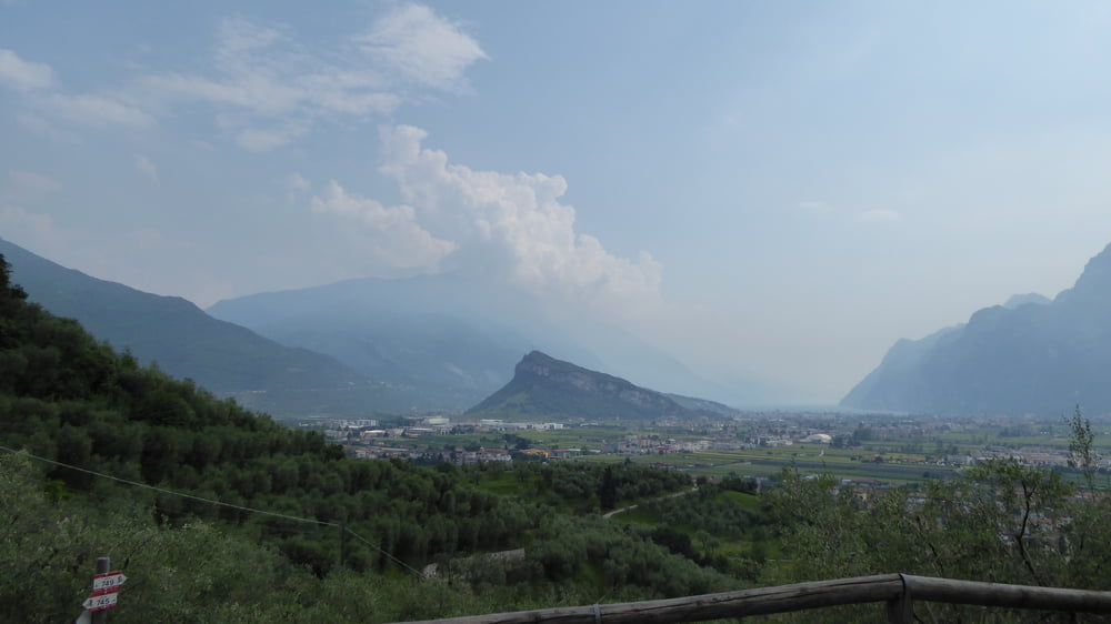
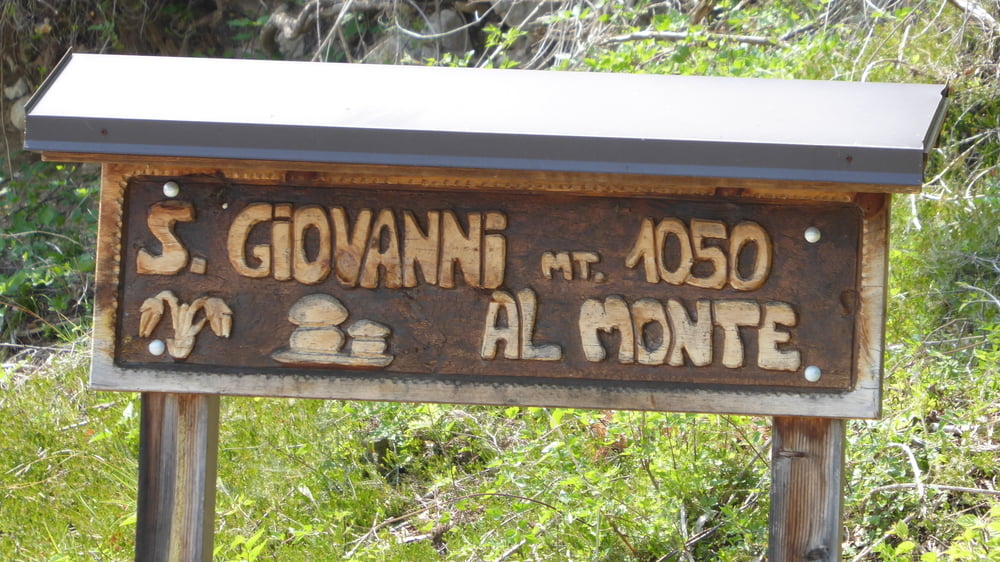
Von Arco am Gardasee geht die Tour durch Varignano hinauf durch Padaro nach San Giovanni al Monte.
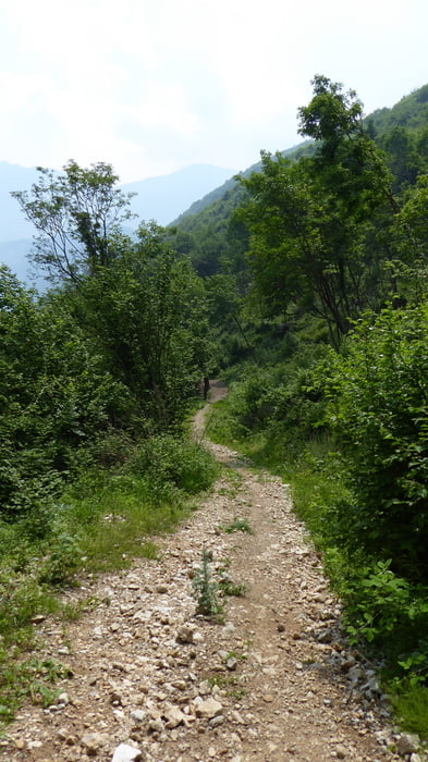
Hinter San Giovanni sausende Abfahrt auf Schotter bis zum Kreuzungspunkt Treni.
Kurzer Anstieg und weiter auf Schotter und Asphalt bis nach Ranciom.
Schöner steiniger Singletrail hinunter bis wir bei Lanzola wieder auf Asphalt treffen.
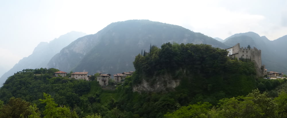
Weiterfahrt auf SS421 hinauf nach Tenno und Abfahrt auf schottriger Bike-Strecke und auf Betonrampen bis kurz vor Arco am Gardasee.
Kleiner Abstecher entlang einer Felskletterwand hinunter in den Ortskern von Arco und retour zum Campingplatz Arco am Gardasee.
Галерея маршрутов
Карта маршрута и высотный профиль
Minimum height 84 m
Maximum height 1110 m
More about the tour author
|
|
Hoar |
Комментарии

Start und Ziel der Tour ist der Campingplatz in Arco am Gardasee
GPS-Tracks
Trackpoints-
GPX / Garmin Map Source (gpx) download
-
TCX / Garmin Training Center® (tcx) download
-
CRS / Garmin Training Center® (crs) download
-
Google Earth (kml) download
-
G7ToWin (g7t) download
-
TTQV (trk) download
-
Overlay (ovl) download
-
Fugawi (txt) download
-
Kompass (DAV) Track (tk) download
-
Формуляр маршрута (pdf) download
-
Original file of the author (gpx) download
More about the tour author
|
|
Hoar |
Add to my favorites
Remove from my favorites
Edit tags
Open track
My score
Rate