Login

Забыл пароль?

Cookies have to be accepted!
Your browser's cookie functionality is disabled. Please enable this functionality.

Not a member yet?

Register now
Login

Available for registred users only

Log in to use this feature.

Забыл пароль?

Cookies have to be accepted!
Your browser's cookie functionality is disabled. Please enable this functionality.

Not a member yet?

Register now
Filter
Категории
Advanced filters
  • Длина (км)
  • Высотомер
Сохранить фильтр Reset filter

TrackRank

QRCode

Technical data

Длина9,2 km Высотомер149 m Way down151 m Длительность02:30 h:m Дата01.05.2019
Оценки Author Ландшафт Веселье Кондиция Техника

Статистика

153 Виды Оценки 3 Загрузки Среднее
Rate
  • Формуляр маршрута
  • Дорога
  • Загрузки

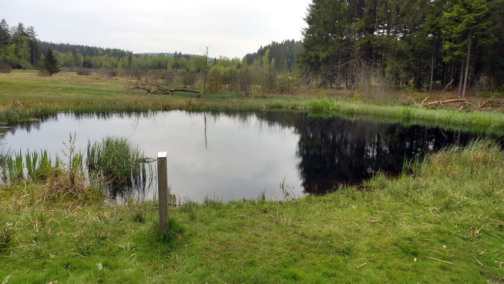
Leichte Wanderung durch das Todtenauer Moor. Infotafeln geben umfassende Auskunft zum Moor.

Rundtour von Kirchberg im Wald durch das Hochmoor Todtenau.

Info: Schaurig schön im Herbst bei diesigem Wetter. Vieleicht hört man dann auch die Musik und die Gesänge der Menschen aus der versunkenen Stadt (siehe Sage!).

Галерея маршрутов

Карта маршрута и высотный профиль

  • Open Street Map
  • Google
Minimum height 633 m Maximum height 730 m Детальный вид

More about the tour author

ejee
Member since 2019

Send private message

Комментарии

GPS-Tracks

Trackpoints
  • GPX / Garmin Map Source (gpx) download
  • TCX / Garmin Training Center® (tcx) download
  • CRS / Garmin Training Center® (crs) download
  • Google Earth (kml) download
  • G7ToWin (g7t) download
  • TTQV (trk) download
  • Overlay (ovl) download
  • Fugawi (txt) download
  • Kompass (DAV) Track (tk) download
  • Формуляр маршрута (pdf) download
  • Original file of the author (gpx) download

More about the tour author

ejee
Member since 2019

Send private message
Share track
Add to my favorites
Remove from my favorites
Edit tags
My score
Rate
Маршрут: Durch das Hochmoor Todtenau
Вид: Пешеходный туризм
Длина: 9,2 km
Evaluated on:
Длительность:
Day(s)
Hour(s)
Minute(s)
Оценка: Ландшафт Веселье Кондиция Техника