


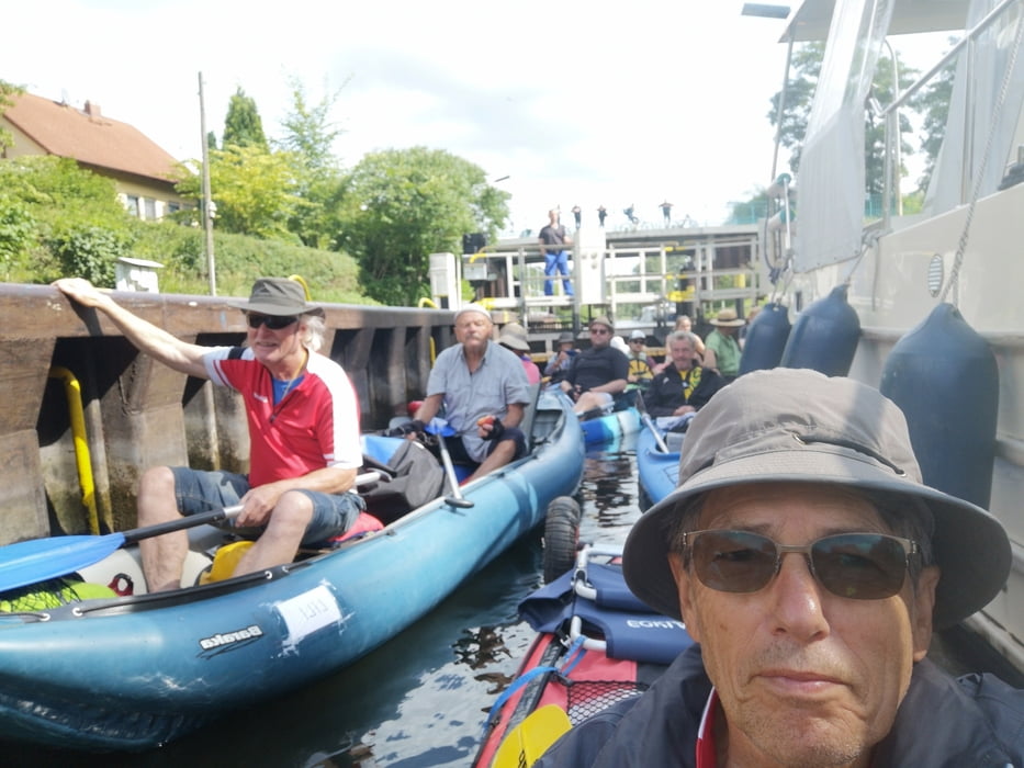
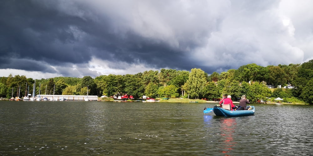
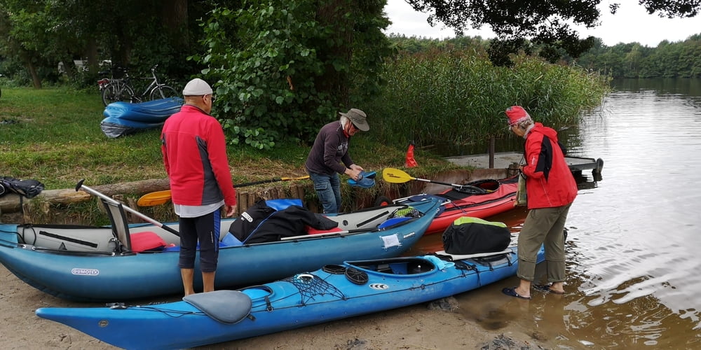
Start am Leppinsee, Mössel, Großer Kotzower See, Kleiner Krotzower See, Granzower Möschen, Mirower See, Havel, Zotzensee, Mössensee, Vilzsee, Großer Peetschsee, Kleiner Peetschsee, Labussee, Canower See, Kleiner Plätzlinsee, Großer Plätzlinsee, Ellbogenseesee, Wangmitzsee, Großer Priepertsee, Finowsee, Drewensee, Obere Havel-Wasserstr., Woblitzsee, Useriner See, Großer Labussee, Zierssee, Görtowsee, Jamelsee, Jäthensee, Ende in Babke
Kanustrecke ca. 66 km
Landweg: Shuttle-Transfer 5 km zum Startpunkt am Leppinsee durch Paddel-Paul
Галерея маршрутов
Карта маршрута и высотный профиль
Minimum height 53 m
Maximum height 72 m
More about the tour author
|
|
BackPack |
Комментарии

GPS-Tracks
Trackpoints-
GPX / Garmin Map Source (gpx) download
-
TCX / Garmin Training Center® (tcx) download
-
CRS / Garmin Training Center® (crs) download
-
Google Earth (kml) download
-
G7ToWin (g7t) download
-
TTQV (trk) download
-
Overlay (ovl) download
-
Fugawi (txt) download
-
Kompass (DAV) Track (tk) download
-
Формуляр маршрута (pdf) download
-
Original file of the author (gpx) download
More about the tour author
|
|
BackPack |
Add to my favorites
Remove from my favorites
Edit tags
Open track
My score
Rate