


Herrliche Ausblicke ins Zellertal und den Lamer Winkel bietet diese schöne Tour von Eck über den Mühlriegel (1080 m) und Ödriegel (1156 m) zum Schwarzeck (1238 m).
Hinweise: Schwere Wanderung, gute Grundkondition erforderlich. Einkehrmöglichkeit nur beim Start/Ziel-Punkt im Berggasthof Eck.
Start/Ziel: Parkplatz Berggasthof Eck
Markierung: La6 „Eckersteig“, La7, Ab10 „steinernes Gaßl“, Ab7
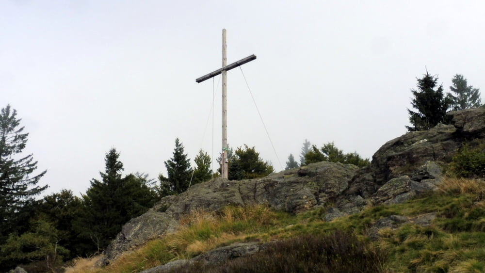
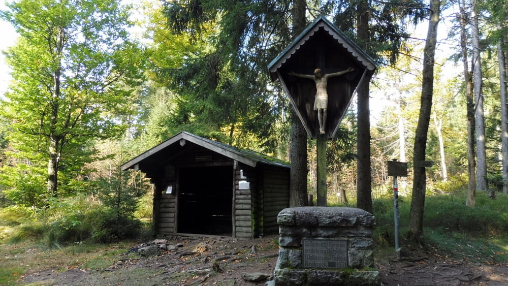
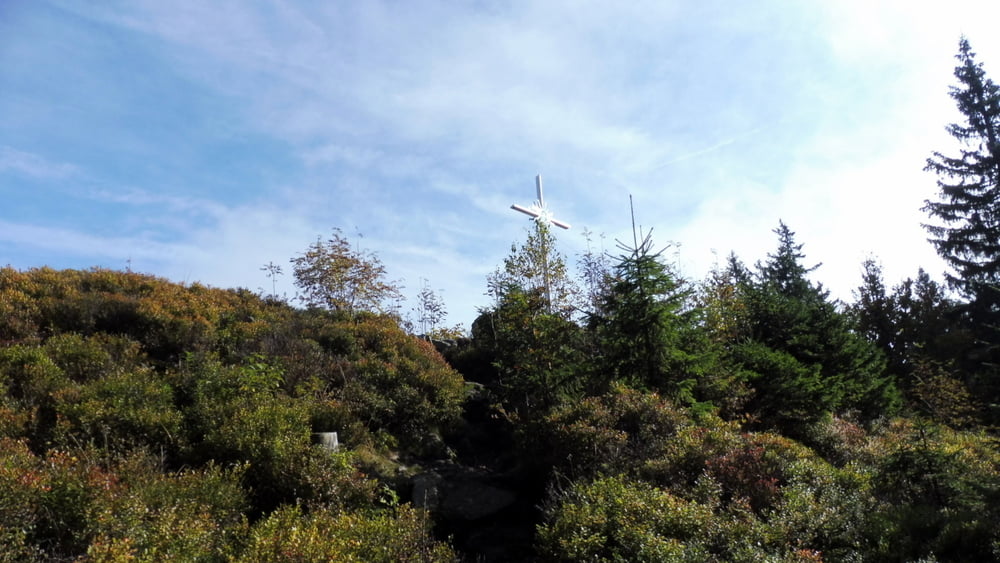
Route: Parkplatz Berggasthof Eck – Mühlriegel – Ödriegel – Waldwiesmarterl – Schwarzeck Nordgipfel mit Gipfelkreuz – Südgipfel – Waldwiesmarterl – Skywalk – Parkplatz Berggasthof Eck
POI: Mühlriegel, Ödriegel, Waldwiesmarterl, Schwarzeck, Skywalk
Галерея маршрутов

Карта маршрута и высотный профиль
Minimum height 819 m
Maximum height 1224 m
More about the tour author

|
ejee |
Комментарии

GPS-Tracks
Trackpoints-
GPX / Garmin Map Source (gpx) download
-
TCX / Garmin Training Center® (tcx) download
-
CRS / Garmin Training Center® (crs) download
-
Google Earth (kml) download
-
G7ToWin (g7t) download
-
TTQV (trk) download
-
Overlay (ovl) download
-
Fugawi (txt) download
-
Kompass (DAV) Track (tk) download
-
Формуляр маршрута (pdf) download
-
Original file of the author (gpx) download
More about the tour author
|
|
ejee |
Add to my favorites
Remove from my favorites
Edit tags
Open track
My score
Rate