Login

Забыл пароль?

Cookies have to be accepted!
Your browser's cookie functionality is disabled. Please enable this functionality.

Not a member yet?

Register now
Login

Available for registred users only

Log in to use this feature.

Забыл пароль?

Cookies have to be accepted!
Your browser's cookie functionality is disabled. Please enable this functionality.

Not a member yet?

Register now
Filter
Категории
Advanced filters
  • Длина (км)
  • Высотомер
Сохранить фильтр Reset filter

TrackRank

QRCode

Technical data

Длина7,8 km Высотомер902 m Way down892 m Длительность02:20 h:m Дата13.02.2022
Оценки Author Ландшафт Веселье Кондиция Техника

Статистика

205 Виды Оценки 11 Загрузки Среднее
Rate
  • Формуляр маршрута
  • Дорога
  • Загрузки
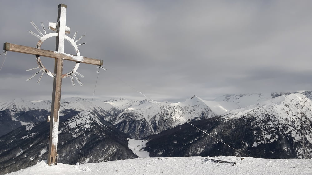
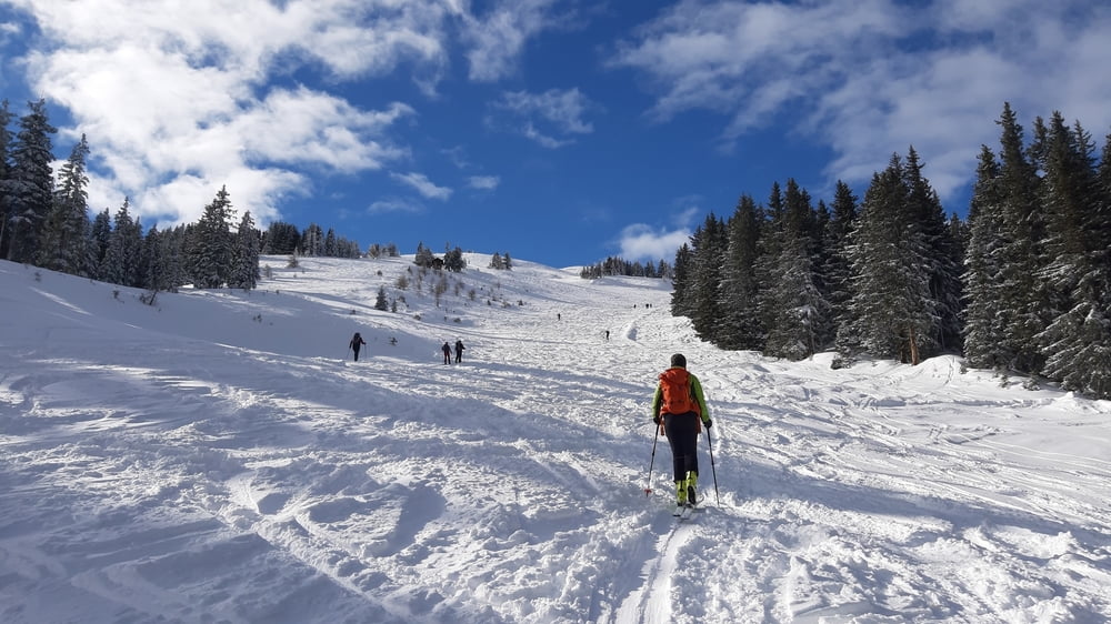
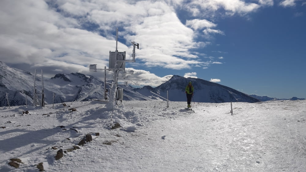
Eine einfache vielbegangene Tour, bei der wieder die Lawinensicherheit im Vordergrund stand. Die letzten ca 150 hm waren windverblasen und daher sehr glatt. Sonst herrlicher Neuschnee. Auf der Hütte sind wir wegen Überfüllung nicht eingekehrt.

Галерея маршрутов

Карта маршрута и высотный профиль

  • Open Street Map
  • Google
Minimum height 1241 m Maximum height 2158 m Детальный вид

More about the tour author

mitter
Member since 2008

Send private message

Комментарии

Start in Gries am Brenner, Parkplatz unter der Autobahn.

GPS-Tracks

Trackpoints
  • GPX / Garmin Map Source (gpx) download
  • TCX / Garmin Training Center® (tcx) download
  • CRS / Garmin Training Center® (crs) download
  • Google Earth (kml) download
  • G7ToWin (g7t) download
  • TTQV (trk) download
  • Overlay (ovl) download
  • Fugawi (txt) download
  • Kompass (DAV) Track (tk) download
  • Формуляр маршрута (pdf) download
  • Original file of the author (gpx) download

More about the tour author

mitter
Member since 2008

Send private message
Share track
Add to my favorites
Remove from my favorites
Edit tags
My score
Rate
Маршрут: Sattelberg 220208
Вид: Лыжи
Длина: 7,8 km
Evaluated on:
Длительность:
Day(s)
Hour(s)
Minute(s)
Оценка: Ландшафт Веселье Кондиция Техника