Login

Забыл пароль?

Cookies have to be accepted!
Your browser's cookie functionality is disabled. Please enable this functionality.

Not a member yet?

Register now
Login

Available for registred users only

Log in to use this feature.

Забыл пароль?

Cookies have to be accepted!
Your browser's cookie functionality is disabled. Please enable this functionality.

Not a member yet?

Register now
Filter
Категории
Advanced filters
  • Длина (км)
  • Высотомер
Сохранить фильтр Reset filter

TrackRank

QRCode

Technical data

Длина16,9 km Высотомер166 m Way down152 m Длительность00:00 h:m Дата27.02.2022
Оценки Author Ландшафт Веселье Кондиция Техника

Статистика

198 Виды Оценки 1 Загрузка Среднее
Rate
  • Формуляр маршрута
  • Дорога
  • Загрузки
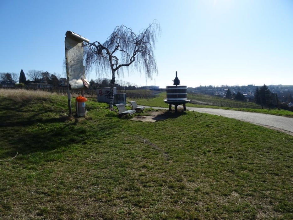
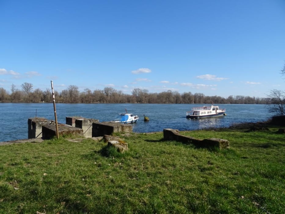
Vom Mainzer Hauptbahnhof zum Fort Joseph, weiter durch durch das Wildgrabental, in Hechtsheim folgen schöne Weinberge, bei Weisenau trifft man auf den Rhein, am Ufer entlang geht es zurück nach Mainz und dem Hauptbahnhof

Further information at

https://sonntagswandern.de/von-mainz-hbf-nach-hechtsheim-weisenau-dann-am-rhein-entlang-zurueck-27-februar-2022/

Галерея маршрутов

Карта маршрута и высотный профиль

  • Open Street Map
  • Google
Minimum height -27 m Maximum height 75 m Детальный вид

More about the tour author

Sonntagswanderin
Member since 2020

Send private message

Комментарии

mit der Regio-Bahn zum Hauptbahnhof Mainz

GPS-Tracks

Trackpoints
  • GPX / Garmin Map Source (gpx) download
  • TCX / Garmin Training Center® (tcx) download
  • CRS / Garmin Training Center® (crs) download
  • Google Earth (kml) download
  • G7ToWin (g7t) download
  • TTQV (trk) download
  • Overlay (ovl) download
  • Fugawi (txt) download
  • Kompass (DAV) Track (tk) download
  • Формуляр маршрута (pdf) download
  • Original file of the author (gpx) download

More about the tour author

Sonntagswanderin
Member since 2020

Send private message
Share track
Add to my favorites
Remove from my favorites
Edit tags
My score
Rate
Маршрут: Von Mainz Hbf nach Hechtsheim, Weisenau, dann am Rhein entlang zurueck
Вид: Пешеходный туризм
Длина: 16,9 km
Evaluated on:
Длительность:
Day(s)
Hour(s)
Minute(s)
Оценка: Ландшафт Веселье Кондиция Техника