Login

Забыл пароль?

Cookies have to be accepted!
Your browser's cookie functionality is disabled. Please enable this functionality.

Not a member yet?

Register now
Login

Available for registred users only

Log in to use this feature.

Забыл пароль?

Cookies have to be accepted!
Your browser's cookie functionality is disabled. Please enable this functionality.

Not a member yet?

Register now
Filter
Категории
Advanced filters
  • Длина (км)
  • Высотомер
Сохранить фильтр Reset filter

TrackRank

QRCode

Technical data

Длина14,5 km Высотомер143 m Way down150 m Длительность00:00 h:m Дата26.12.2022
Оценки Author Ландшафт Веселье Кондиция Техника

Статистика

145 Виды Оценки 2 Загрузки Среднее
Rate
  • Формуляр маршрута
  • Дорога
  • Загрузки
Vom Bahnhof in Bad Homburg durch die Felder nach Ober-Eschbach, danach weiter um die Stadt herum zurück zum Kurpark und dem Schloss

Further information at

https://sonntagswandern.de/bad-homburg-taunus-weihnachtswanderung-26-dezember-2022/

Галерея маршрутов

Карта маршрута и высотный профиль

  • Open Street Map
  • Google
Minimum height 254 m Maximum height 323 m Детальный вид

More about the tour author

Sonntagswanderin
Member since 2020

Send private message

Комментарии

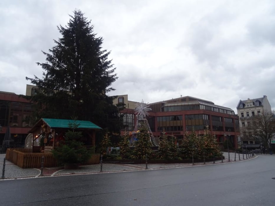
mit der S-Bahn nach Bad Homburg

GPS-Tracks

Trackpoints
  • GPX / Garmin Map Source (gpx) download
  • TCX / Garmin Training Center® (tcx) download
  • CRS / Garmin Training Center® (crs) download
  • Google Earth (kml) download
  • G7ToWin (g7t) download
  • TTQV (trk) download
  • Overlay (ovl) download
  • Fugawi (txt) download
  • Kompass (DAV) Track (tk) download
  • Формуляр маршрута (pdf) download
  • Original file of the author (gpx) download

More about the tour author

Sonntagswanderin
Member since 2020

Send private message
Share track
Add to my favorites
Remove from my favorites
Edit tags
My score
Rate
Маршрут: Bad Homburg (Taunus) Weihnachtswanderung
Вид: Пешеходный туризм
Длина: 14,5 km
Evaluated on:
Длительность:
Day(s)
Hour(s)
Minute(s)
Оценка: Ландшафт Веселье Кондиция Техника