
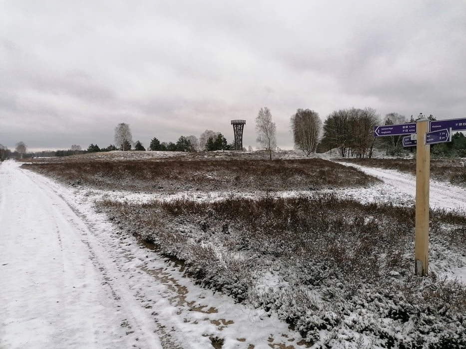

Start ist der Kostenlose Parkplatz mit Plumpsklo.
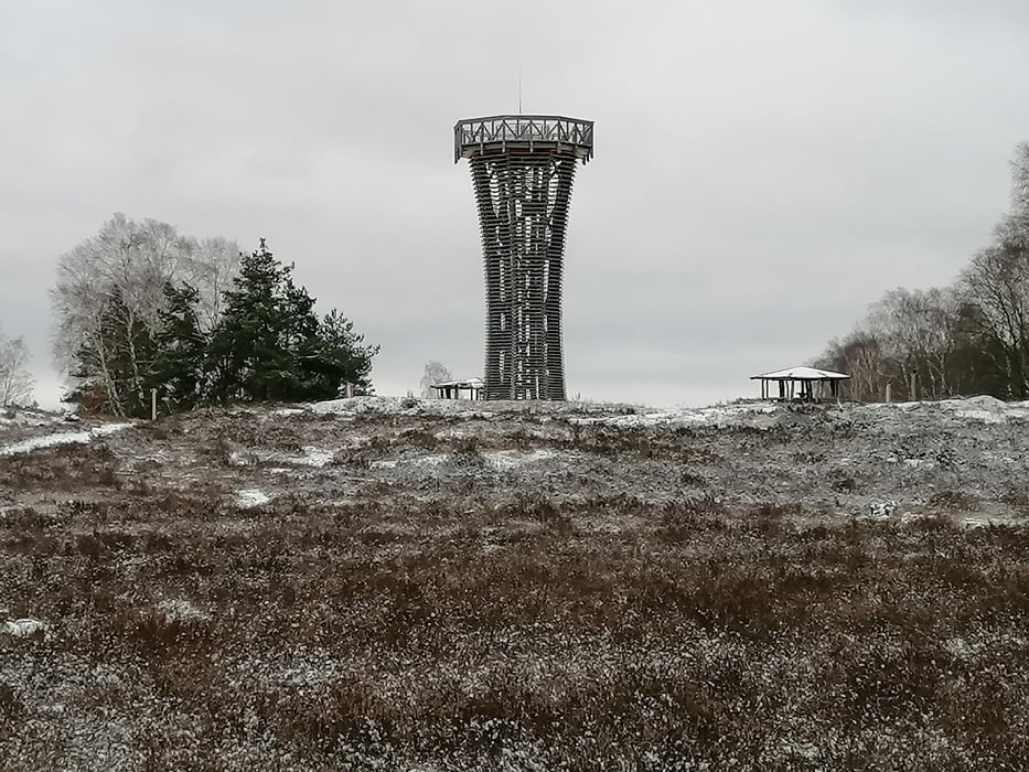
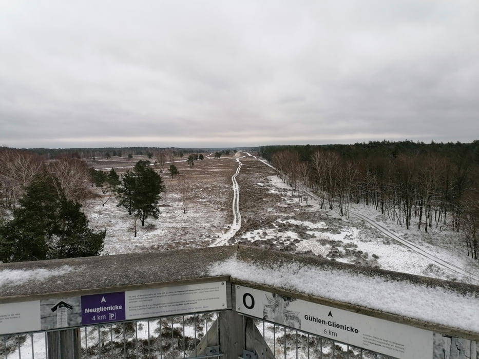
Der Weg durch die Heide ist Sandig und geht sich etwas schwerer.
Further information at
https://www.kyritz-ruppiner-heide.de/home.htmlГалерея маршрутов
Карта маршрута и высотный профиль
Minimum height 56 m
Maximum height 79 m
More about the tour author
|
|
tret_werk |
Комментарии

Start ist in der Tour Markiert.
Am Parkplatz gibt es ein Kostenlosen Plumpsklo - WC mit PP Becken.
Und ein recht großer Überdachter Rastplatz mit Sitzbänke aber ohne Tische
GPS-Tracks
Trackpoints-
GPX / Garmin Map Source (gpx) download
-
TCX / Garmin Training Center® (tcx) download
-
CRS / Garmin Training Center® (crs) download
-
Google Earth (kml) download
-
G7ToWin (g7t) download
-
TTQV (trk) download
-
Overlay (ovl) download
-
Fugawi (txt) download
-
Kompass (DAV) Track (tk) download
-
Формуляр маршрута (pdf) download
-
Original file of the author (gpx) download
More about the tour author
|
|
tret_werk |
Add to my favorites
Remove from my favorites
Edit tags
Open track
My score
Rate