Login

Забыл пароль?

Cookies have to be accepted!
Your browser's cookie functionality is disabled. Please enable this functionality.

Not a member yet?

Register now
Login

Available for registred users only

Log in to use this feature.

Забыл пароль?

Cookies have to be accepted!
Your browser's cookie functionality is disabled. Please enable this functionality.

Not a member yet?

Register now
Filter
Категории
Advanced filters
  • Длина (км)
  • Высотомер
Сохранить фильтр Reset filter

TrackRank

QRCode

Technical data

Длина9,4 km Высотомер516 m Way down28 m Длительность00:00 h:m Дата10.08.2003
Оценки Author Ландшафт Веселье Кондиция Техника

Статистика

2012 Виды Оценки 351 Загрузки Среднее
Rate
  • Формуляр маршрута
  • Дорога
  • Загрузки
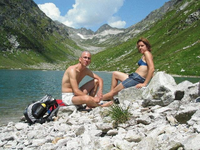
Auch hier vermisste ich mein Mountain-Bike, welches bis zum Kalser Tauernhaus angenehm zu fahren gewesen wäre. Dort angekommen steigt man durch liebliche Landschaft zum ebensolchen See auf.

Галерея маршрутов

Карта маршрута и высотный профиль

  • Open Street Map
  • Google
Minimum height 1465 m Maximum height 1966 m Детальный вид

More about the tour author

rjkas
Member since 2003

Send private message

Комментарии

GPS-Tracks

Trackpoints
  • GPX / Garmin Map Source (gpx) download
  • TCX / Garmin Training Center® (tcx) download
  • CRS / Garmin Training Center® (crs) download
  • Google Earth (kml) download
  • G7ToWin (g7t) download
  • TTQV (trk) download
  • Overlay (ovl) download
  • Fugawi (txt) download
  • Kompass (DAV) Track (tk) download
  • Формуляр маршрута (pdf) download
  • Original file of the author (g7t) download

More about the tour author

rjkas
Member since 2003

Send private message
Share track
Add to my favorites
Remove from my favorites
Edit tags
My score
Rate
Маршрут: Dorfertal
Вид: Пешеходный туризм
Длина: 9,4 km
Evaluated on:
Длительность:
Day(s)
Hour(s)
Minute(s)
Оценка: Ландшафт Веселье Кондиция Техника