Login

Забыл пароль?

Cookies have to be accepted!
Your browser's cookie functionality is disabled. Please enable this functionality.

Not a member yet?

Register now
Login

Available for registred users only

Log in to use this feature.

Забыл пароль?

Cookies have to be accepted!
Your browser's cookie functionality is disabled. Please enable this functionality.

Not a member yet?

Register now
Filter
Категории
Advanced filters
  • Длина (км)
  • Высотомер
Сохранить фильтр Reset filter

TrackRank

QRCode

Technical data

Длина20,6 km Высотомер336 m Way down337 m Длительность01:40 h:m Дата06.07.2010
Оценки Author Ландшафт Веселье Кондиция Техника

Статистика

521 Виды Оценки 22 Загрузки Среднее
Rate
  • Формуляр маршрута
  • Дорога
  • Загрузки

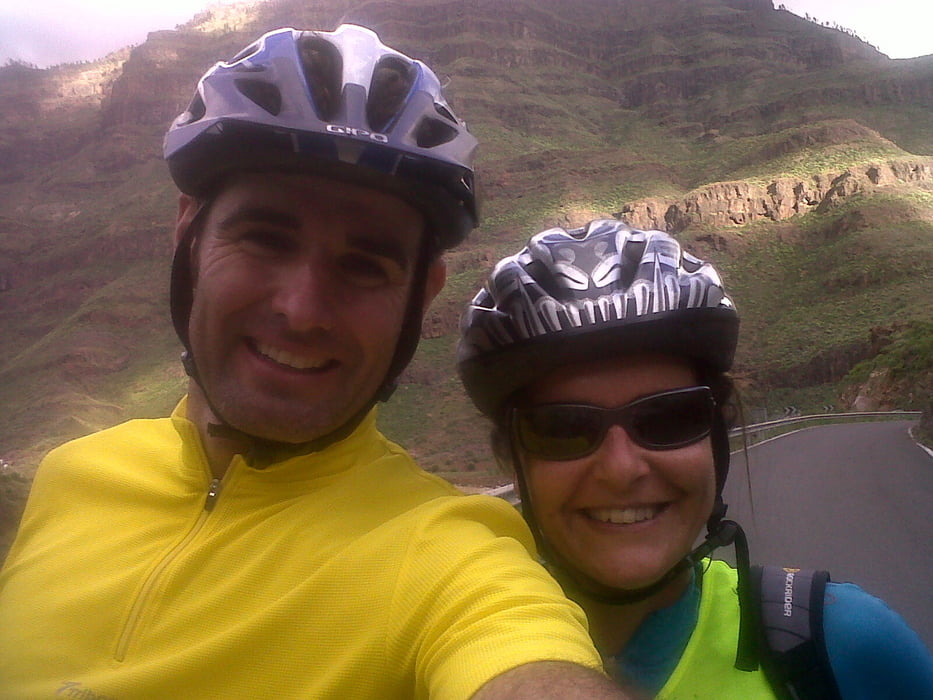
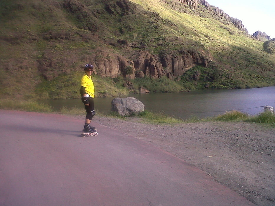
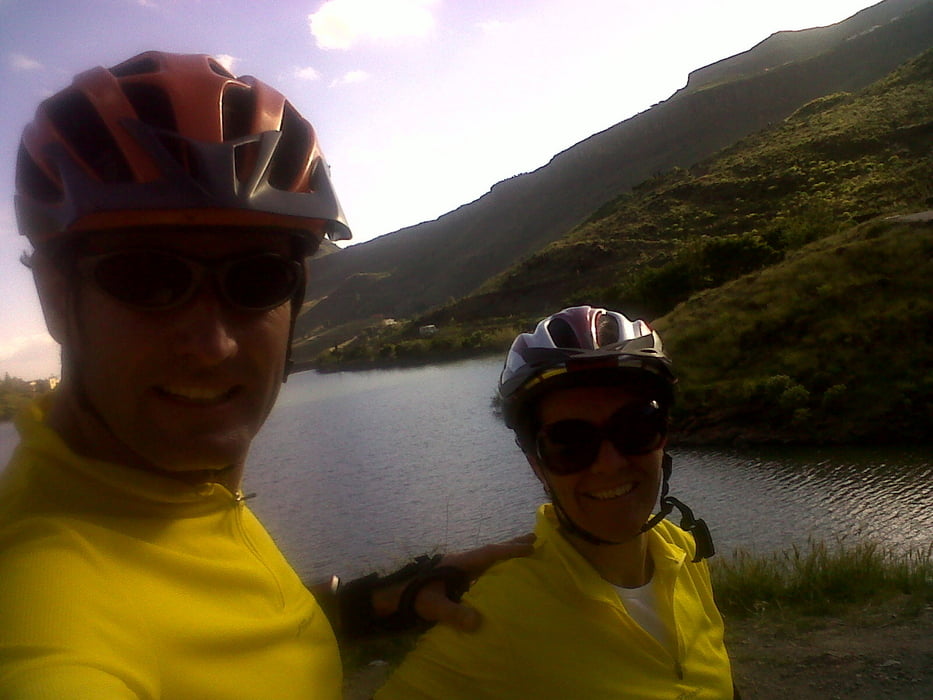
Ruta por carretera abierta al trafico(recomendada para ciclistas) en buen estado.Ligera ascencion para  descender por la misma carretera.Poco trafico,muchos ciclistas.Ruta bonita por la belleza paisagistica.

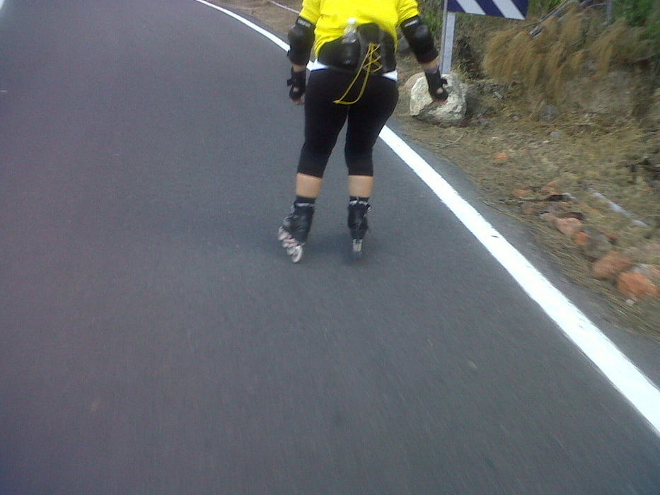
Cuidado con los automovilistas ya que no estan acostubrados a ver patinadores por la zona.

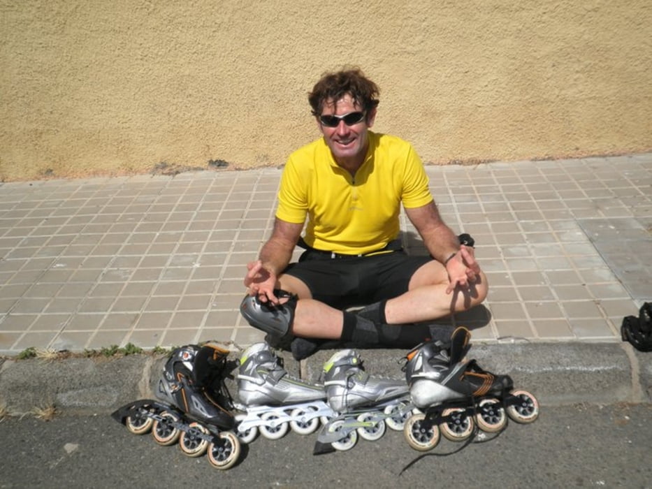
 .La ruta son 8,5 kilometros subiendo por la carretera,10,5 hasta la presa,para luego bajar.La pendiente es muy ligera ,velocidad de subida entre 15 y 20km/h y bajada hasta 35 km/h com mis patines de fittnes.

Si tienen técnica en ascenso y descenso se puede subir a la presa, y continuar por una estrecha carretera con unos paisajes que merece la pena ver.Para este tramo es conveniente llevar taco de frenado.

Галерея маршрутов

Карта маршрута и высотный профиль

  • Open Street Map
  • Google
Minimum height 71 m Maximum height 351 m Детальный вид

More about the tour author

madeheimclaudio
Member since 2010

Send private message

Комментарии

Dejar coche en el parking del Parque acuatico. Tras unos metros,tomar  carretera  hacia la derecha,donde cominza la carretera a ayagaures.

GPS-Tracks

Trackpoints
  • GPX / Garmin Map Source (gpx) download
  • TCX / Garmin Training Center® (tcx) download
  • CRS / Garmin Training Center® (crs) download
  • Google Earth (kml) download
  • G7ToWin (g7t) download
  • TTQV (trk) download
  • Overlay (ovl) download
  • Fugawi (txt) download
  • Kompass (DAV) Track (tk) download
  • Формуляр маршрута (pdf) download
  • Original file of the author (tcx) download

More about the tour author

madeheimclaudio
Member since 2010

Send private message
Share track
Add to my favorites
Remove from my favorites
Edit tags
My score
Rate
Маршрут: Ruta Ayagaures Claudio
Вид: Роликовые коньки
Длина: 20,6 km
Evaluated on:
Длительность:
Day(s)
Hour(s)
Minute(s)
Оценка: Ландшафт Веселье Кондиция Техника