


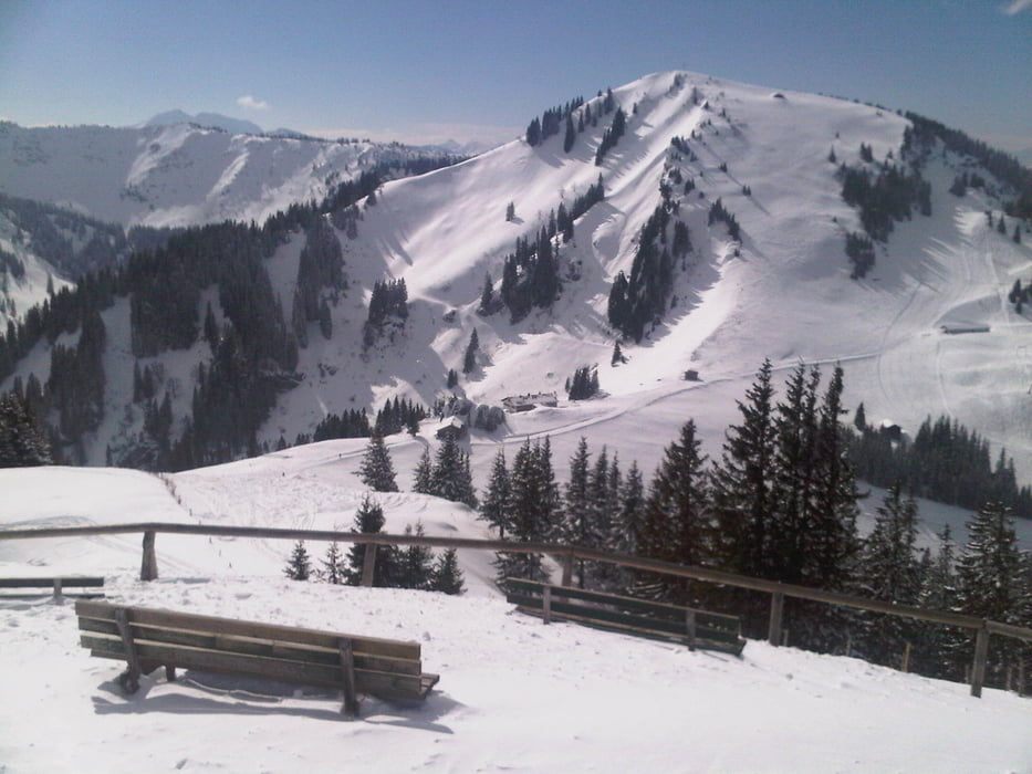
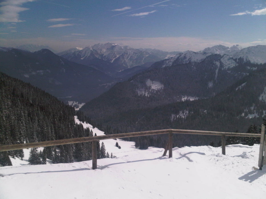
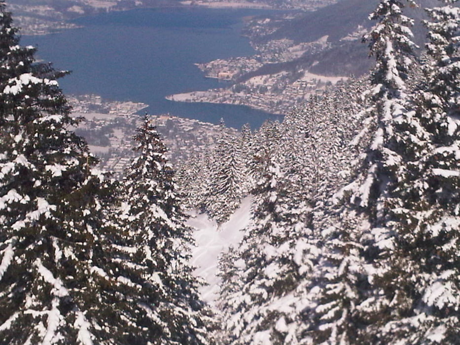
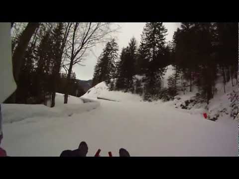
Rodeln am Wallberg bei Rottach am Tegernsee/Bayern. Die Naturrodelbahn ist 6,4km lang und überwindet 840 Höhenmeter. Es gibt eine Gondelbahn für den Aufstieg. Die Bahn startet an der Bergstation (an der Rodel ausgeliehen werden) oder eher an der naheliegenden Wallbergkapelle (1620m) und führt über die Wallbergmoosalm hinunter zur Talstation. Die Strecke kann als schwierig angesehen werden, da der Mittelteil steilen und schmalen Waldwegen folgt, besonders dann, wenn die Strecke eisig ist. Es können leicht Geschwindigkeiten von 55km/h oder mehr erziehlt werden (Helm/Protektoren)
Sledging @ Wallberg near Rottach at the Tegernsee/Bavaria. The natural track is 3,98miles/6.4km long, the difference in altitude is 2756ft/840m. You can use the cable car to go up the hill. The track starts more or less at the mountain station (where you can rent sledges) or better at the nearby Wallberg chapel (5315ft/1620m) and leads via Wallbergmoosalm down to the valley station. The track can be seen as difficult as the middle part is following steep and narrow paths, especially when it is icy. You can reach easily a speed of 35mph/55km/h or more (helmet, protectors)
Галерея маршрутов
Карта маршрута и высотный профиль
Minimum height 744 m
Maximum height 1618 m
More about the tour author
|
|
Traenkerluis |
Комментарии

Parken an der Talstation der Wallbergbahn
GPS-Tracks
Trackpoints-
GPX / Garmin Map Source (gpx) download
-
TCX / Garmin Training Center® (tcx) download
-
CRS / Garmin Training Center® (crs) download
-
Google Earth (kml) download
-
G7ToWin (g7t) download
-
TTQV (trk) download
-
Overlay (ovl) download
-
Fugawi (txt) download
-
Kompass (DAV) Track (tk) download
-
Формуляр маршрута (pdf) download
-
Original file of the author (gpx) download
More about the tour author
|
|
Traenkerluis |
Add to my favorites
Remove from my favorites
Edit tags
Open track
My score
Rate