


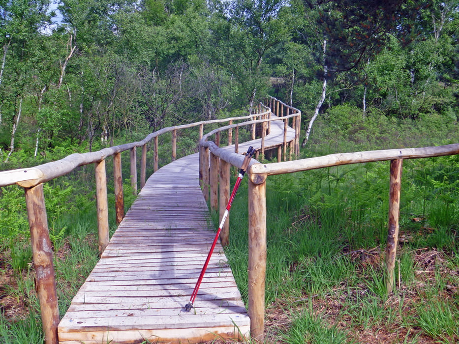
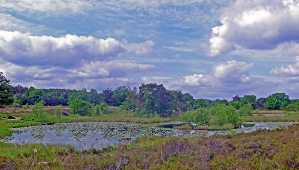
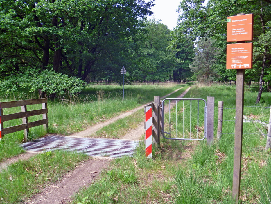
Einfach zu walkende Rundstrecke durch Wald- und Heidegebiete - auch nach Regen kaum matschige Wege - anfangs auf deutscher Seite der Grenze und dann im Nationalpark Meinweg auf niederländischer Seite
galéria trás
Mapa trasy a výškový profil
Minimum height 52 m
Maximum height 100 m
More about the tour author
|
|
hadihe |
komentáre

A 52 Ausfahrt 3 (Niederkrüchten) auf der B221 Richtung Wassenberg - bei 1. Ampel rechts Richtung Elmpt - in Elmpt links in die Straße "Kreithövel" (noch steht dort an der Ecke eine alte Telefonzelle) - nach Überquerung der A 52 erste links in den Hillenkamp - dieser Straße nach einem Rechtsbogen bis zum Ende (teilweise führt sie dur den Wald, ist aber asphaltiert und darf befahren werden) folgen, wo sich zur Rechten ausreichend Parkplätze befinden
GPS trasy
Trackpoints-
GPX / Garmin Map Source (gpx) download
-
TCX / Garmin Training Center® (tcx) download
-
CRS / Garmin Training Center® (crs) download
-
Google Earth (kml) download
-
G7ToWin (g7t) download
-
TTQV (trk) download
-
Overlay (ovl) download
-
Fugawi (txt) download
-
Kompass (DAV) Track (tk) download
-
list trasy (pdf) download
-
Original file of the author (gpx) download
More about the tour author
|
|
hadihe |
Add to my favorites
Remove from my favorites
Edit tags
Open track
My score
Rate