


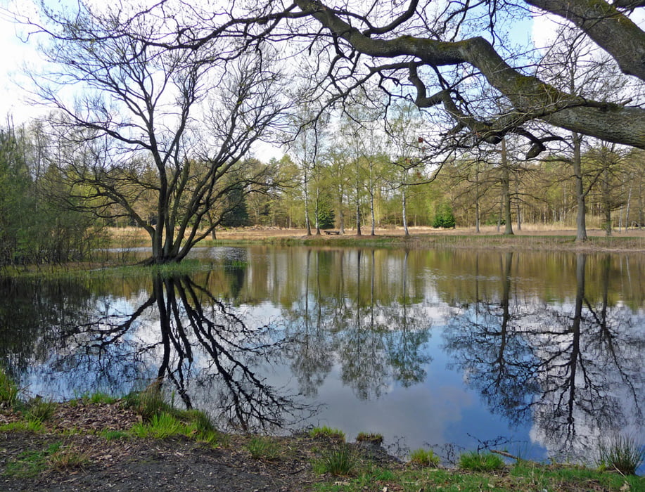
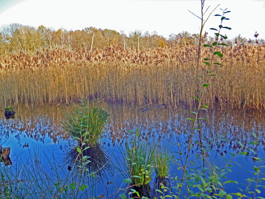
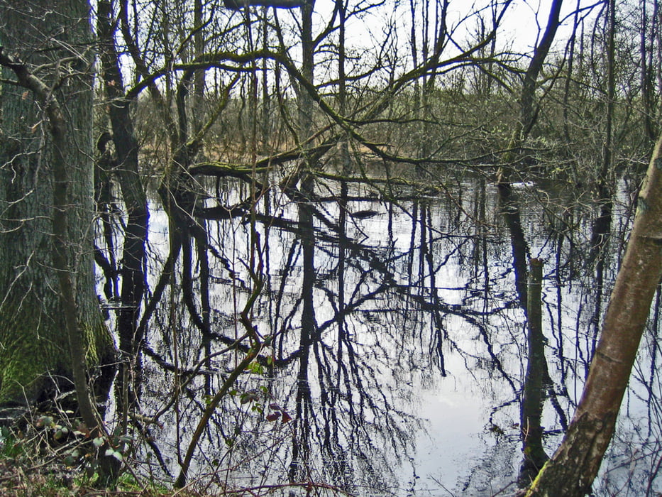
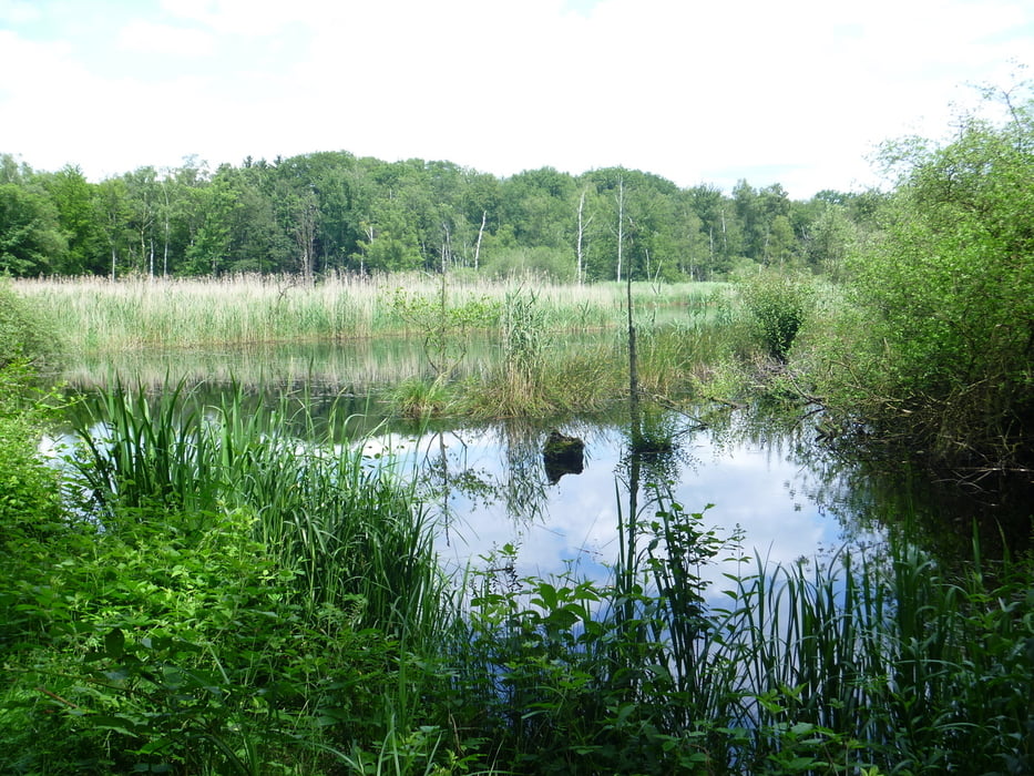
Eine sehr schöne und abwechlungsreiche Strecke, die weitestgehend dem "Wasser.Wander.Weg. 'Elmpter Schwalmbruch'" folgt.
Ausnahme: Nach Querung der Bosstraat (Verlängerung der deutschen L 373 - Landstraße zwischen Brüggen und Swalmen) bei der Herberg De Bos kommt man in ein Gebiet, in dem große Gasrohre verlegt werden, sodass die Beschilderung des "Wasser.Wander.Weg. 'Elmpter Schwalmbruch'" nicht mehr zu erkennen ist. Etwas später stößt man aber wieder auf die Beschilderung.
galéria trás
Mapa trasy a výškový profil
Minimum height 29 m
Maximum height 91 m
More about the tour author
|
|
hadihe |
komentáre

A 52 Richtung Roermond in Emlpt abfahren (Ausfahrt 2) und weiter auf der B230 Richtung Grenze. Nach ca. 2,5 km ist in Höhe einer Brücke nach rechts ein Wanderparkplatz ("Wanderparkplatz Tackenbenden") ausgeschildert.
GPS trasy
Trackpoints-
GPX / Garmin Map Source (gpx) download
-
TCX / Garmin Training Center® (tcx) download
-
CRS / Garmin Training Center® (crs) download
-
Google Earth (kml) download
-
G7ToWin (g7t) download
-
TTQV (trk) download
-
Overlay (ovl) download
-
Fugawi (txt) download
-
Kompass (DAV) Track (tk) download
-
list trasy (pdf) download
-
Original file of the author (gpx) download
More about the tour author
|
|
hadihe |
Add to my favorites
Remove from my favorites
Edit tags
Open track
My score
Rate