

Eine wirklich traumhafte Tour von Ötz in das Inntal bis nach Zirl, Kematen ins Sellrein auf den Kühtailsattel und wieder runter nach Ötz.
Perfekter Ausgangspunkt ist der kostenlose Parkplatz der Arena 47 am Eingang des Ötztals.
Von dort fährt man auf die 171 Richtung Telfs.
Kurz vor dem Abzweig nach Telfs bin ich tatsächlich über den Fluss nach Telfs und weiter auf der 171 bis nach Zirl.
Bei der Nachbearbeitung der Tour ist mir diese Variante untergekommen.
Man belibt diesseites des Flusses und folgt der Bahnlinie auf Radwegen bis nach Zirl und Kematen.
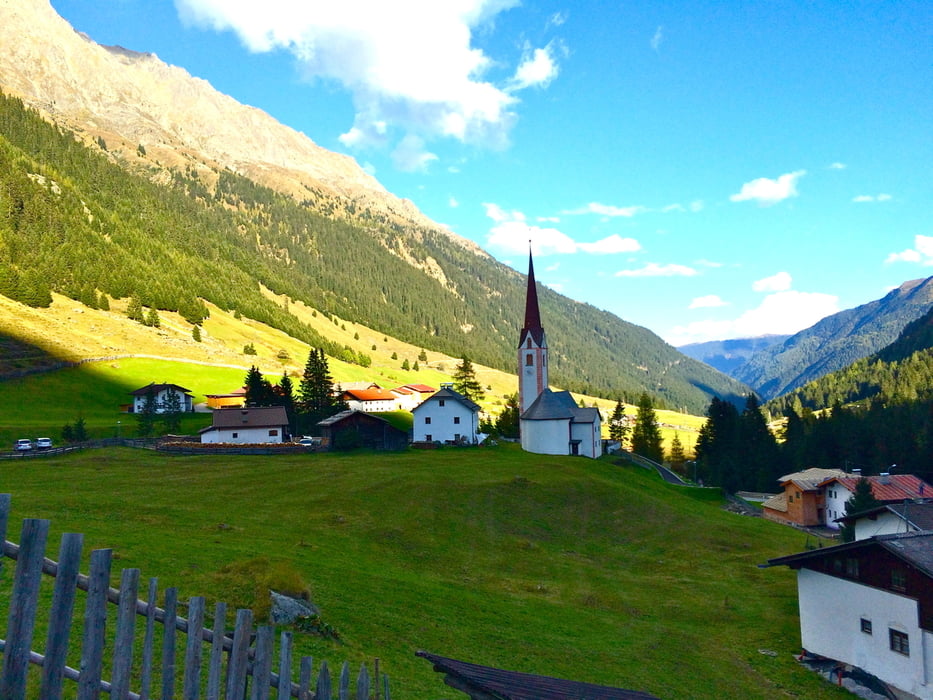
kurz vor Kematen geht es gleich rechts in das Sellrein.
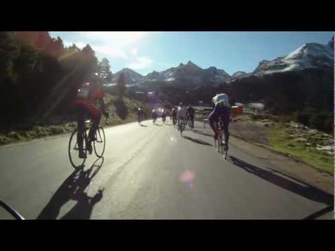
Wem diese Anzahl an HM zu wenig sind, macht in Gries einen Abstecher nach Praxmar (+700hm mit ordentlich Rampen)
Auch auf unserer Strecke sind ab Gries einige wenig Rampen zu beweltigen. Ich konnte diese gut fahren mit meiner Kompatkurbel; eine 3-fach-Krubel wäre jedoch nicht von Nachteil gewesen ;)
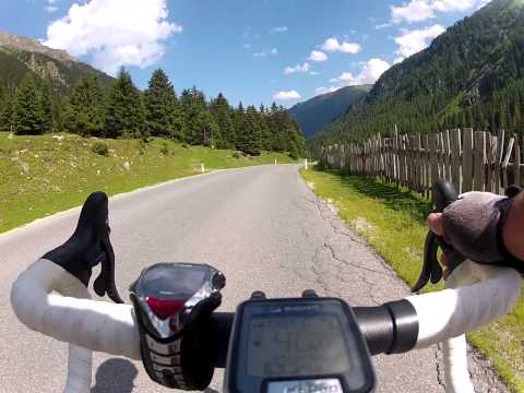
Auf dem Kühtaisattel agenkommen heißt es lange Sachen an und runtergebraust nach Ötz.
Gasthäuser und Einkehrmöglichkeiten gibt es viele in fast jedem Ort.
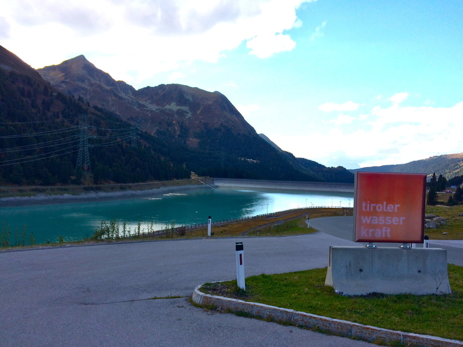
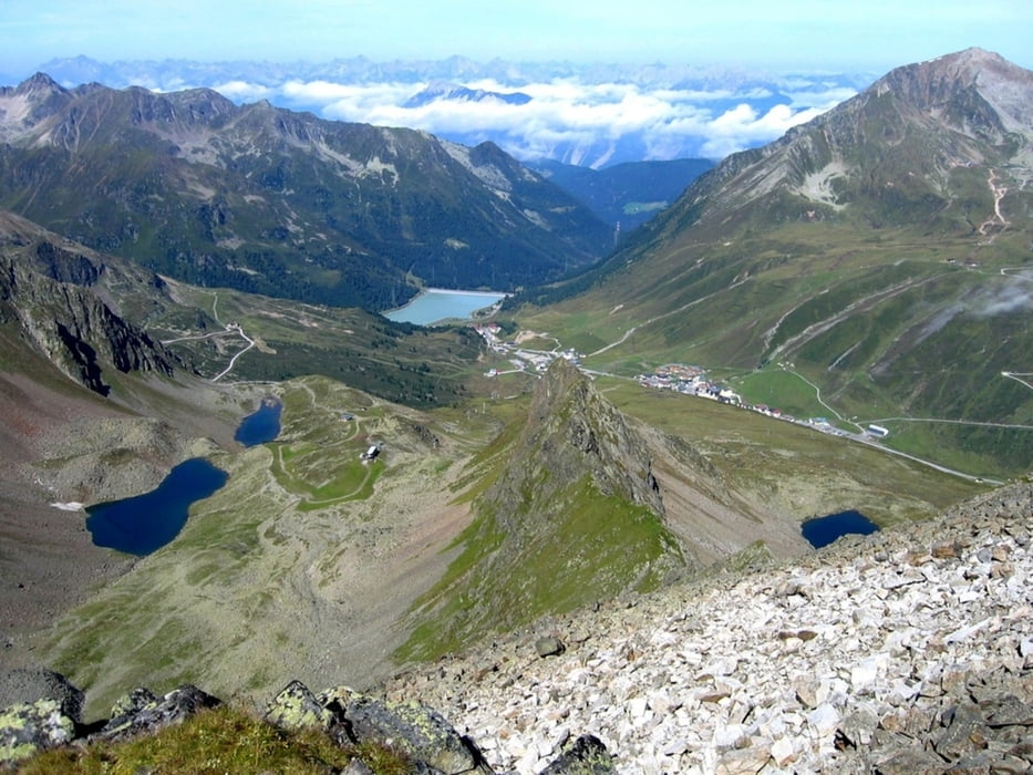
Empfehlenswert: Licht für die Tunnels bergauf und Lange Sachen fürs Bergab - Kühtai liegt auf 2020m.
Further information at
http://de.wikipedia.org/wiki/K%C3%BChtaisattelgaléria trás
Mapa trasy a výškový profil
Minimum height 591 m
Maximum height 2027 m
More about the tour author
|
|
b-bas |
komentáre

Anfahrt über Garmisch - Fernpass ca. 2h je nach Urlaubsverkehrssituation
GPS trasy
Trackpoints-
GPX / Garmin Map Source (gpx) download
-
TCX / Garmin Training Center® (tcx) download
-
CRS / Garmin Training Center® (crs) download
-
Google Earth (kml) download
-
G7ToWin (g7t) download
-
TTQV (trk) download
-
Overlay (ovl) download
-
Fugawi (txt) download
-
Kompass (DAV) Track (tk) download
-
list trasy (pdf) download
-
Original file of the author (gpx) download
More about the tour author
|
|
b-bas |
Add to my favorites
Remove from my favorites
Edit tags
Open track
My score
Rate