Login

Zabudli ste prihlasovacia meno

Cookies have to be accepted!
Your browser's cookie functionality is disabled. Please enable this functionality.

Not a member yet?

Register now
Login

Available for registred users only

Log in to use this feature.

Zabudli ste prihlasovacia meno

Cookies have to be accepted!
Your browser's cookie functionality is disabled. Please enable this functionality.

Not a member yet?

Register now
Filter
Kategórie
Advanced filters
  • Dĺžka (km)
  • výškomer
Uložiť filter Reset filter

TrackRank

QRCode

Technical data

Dĺžka14,0 km výškomer461 m Way down439 m Doba04:00 h:m dátum04.04.2016
ohodnotenia Author Kraj pôžitok z túry kondícia technika

štatistika

920 náhľady ohodnotenia 59 Stiahnutia priemer
Rate
  • list trasy
  • príjazd
  • Stiahnutia
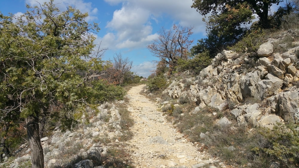
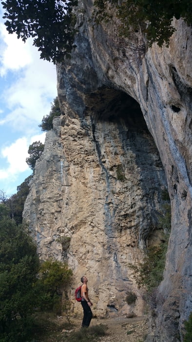
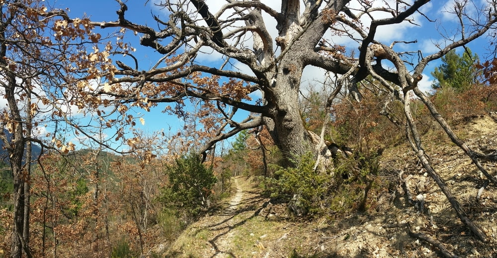
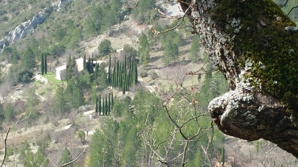
Sehr schöne Wandertour am Mont Ventoux im Tal der Toulourance nach Brantes. Die Tour führt über steinige Pfade gegenüber dem Mont Ventoux auf einen Pass und von dort weiter in das provencalische Dorf Brantes. Unterhalb von Brantes führt eine kleine Genuesenbrücke über die Toulourance. Die letzten 2 Kilometer verlaufen leider entlang der wenig befahrenen Straße zurück zum Parkplatz, was aber der Schönheit der Wandertour keinen Abbruch tut.


Further information at

https://de.wikipedia.org/wiki/Brantes

galéria trás

Mapa trasy a výškový profil

  • Open Street Map
  • Google
Minimum height 385 m Maximum height 705 m Detailný pohľad

More about the tour author

riemchens
Member since 2009

Send private message

komentáre

Von Vaison la Romaine nach nach Süden und links ab auf die D 54 in Richtung Mollans sür Ouvèze. Vor Mollans rechts ab auf die D40 in Richtung Brantes bis nach St. Légère du Mont Ventoux. Hier startet die Tour an einem Parkplatz an der Toulourance.

GPS trasy

Trackpoints
  • GPX / Garmin Map Source (gpx) download
  • TCX / Garmin Training Center® (tcx) download
  • CRS / Garmin Training Center® (crs) download
  • Google Earth (kml) download
  • G7ToWin (g7t) download
  • TTQV (trk) download
  • Overlay (ovl) download
  • Fugawi (txt) download
  • Kompass (DAV) Track (tk) download
  • list trasy (pdf) download
  • Original file of the author (gpx) download

More about the tour author

riemchens
Member since 2009

Send private message
Share track
Add to my favorites
Remove from my favorites
Edit tags
My score
Rate
trasa: Brantes am Mont Ventoux
Druh: trasa
Dĺžka: 14,0 km
Evaluated on:
Doba:
Day(s)
Hour(s)
Minute(s)
ohodnotenie: Kraj pôžitok z túry kondícia technika