Login

Zabudli ste prihlasovacia meno

Cookies have to be accepted!
Your browser's cookie functionality is disabled. Please enable this functionality.

Not a member yet?

Register now
Login

Available for registred users only

Log in to use this feature.

Zabudli ste prihlasovacia meno

Cookies have to be accepted!
Your browser's cookie functionality is disabled. Please enable this functionality.

Not a member yet?

Register now
Filter
Kategórie
Advanced filters
  • Dĺžka (km)
  • výškomer
Uložiť filter Reset filter

TrackRank

QRCode

Technical data

Dĺžka13,8 km výškomer719 m Way down735 m Doba05:30 h:m dátum11.06.2016
ohodnotenia Author Kraj pôžitok z túry kondícia technika

štatistika

678 náhľady ohodnotenia 37 Stiahnutia priemer
Rate
  • list trasy
  • príjazd
  • Stiahnutia

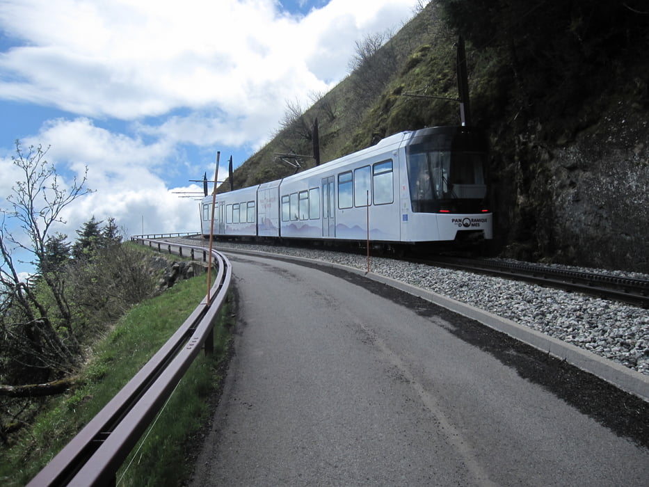
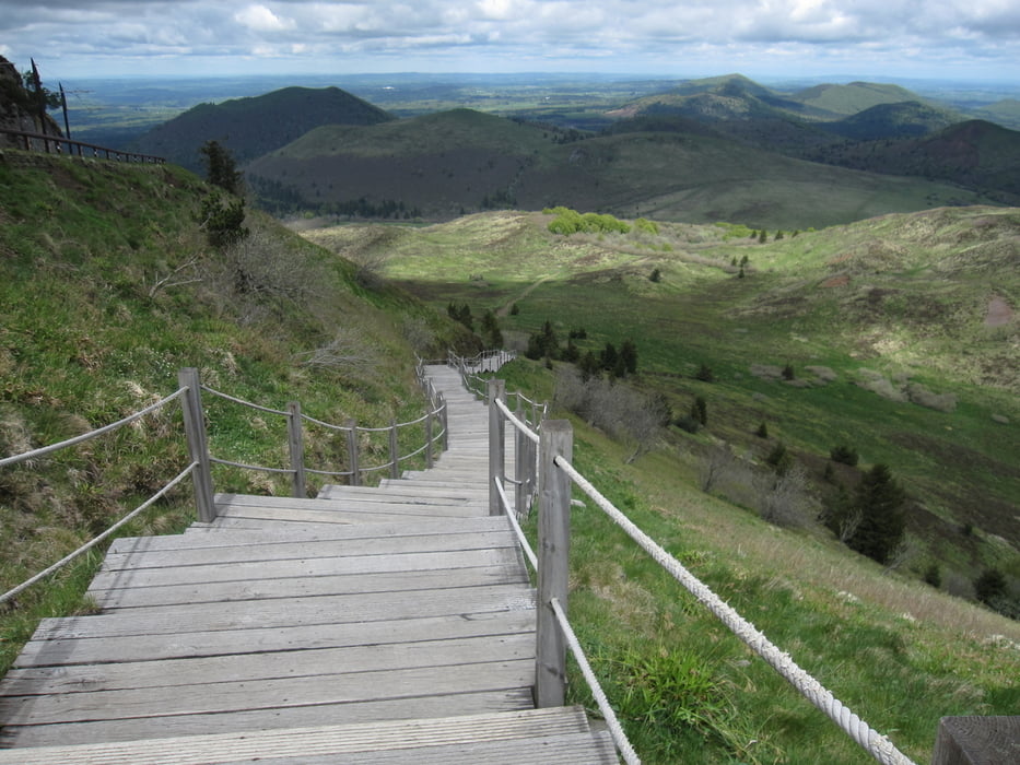
Der Puy de Dome ist von vielen  Vulkankegeln, die sich westlich von Clermont-Ferrand in Richtung Süden erstrecken (Puy franz. Vulkankegel). Die Vulkanlandschaften prägen die Landschaft der  Auvergne.

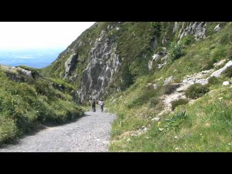
Das siehe You Tube Video  Le Puy de Dôme et autres volcans de la Chaîne des Puys  zeigt die Landschaft eindrucksvoll.

Der Originaltrack stammt von Wikiloc Puy de Dôme- Nid de poule- Puy de Pariou.

siehe auch Tour 8 Rother Wanderführer Auvergne, Seite 40

Mehr Bilder siehe weitere Informationen.

Further information at

https://www.facebook.com/dieter.drillich/media_set?set=a.1219237991422106.1073741842.100000077491153&type=3

galéria trás

Mapa trasy a výškový profil

  • Open Street Map
  • Google
Minimum height 1048 m Maximum height 1455 m Detailný pohľad

More about the tour author

GPSDieter
Member since 2013

Send private message

komentáre

Aus Richtung Clermont-Ferrand kommend, folgen Sie der D492 und D68. Am Fuß des Puy de Dome ist der Weg zum Parkplatz gut ausgeschildert.

Oder geben Sie in Ihr Navigationssystem die GPS Koordinaten N45° 45' 49.7" E2° 57' 22.8"  ein.

GPS trasy

Trackpoints
  • GPX / Garmin Map Source (gpx) download
  • TCX / Garmin Training Center® (tcx) download
  • CRS / Garmin Training Center® (crs) download
  • Google Earth (kml) download
  • G7ToWin (g7t) download
  • TTQV (trk) download
  • Overlay (ovl) download
  • Fugawi (txt) download
  • Kompass (DAV) Track (tk) download
  • list trasy (pdf) download
  • Original file of the author (gpx) download

More about the tour author

GPSDieter
Member since 2013

Send private message
Share track
Add to my favorites
Remove from my favorites
Edit tags
My score
Rate
trasa: Puy de Dôme- Nid de poule- Puy de Pariou- Petit et grand Suchet. Rando Volcans Auvergne
Druh: trasa
Dĺžka: 13,8 km
Evaluated on:
Doba:
Day(s)
Hour(s)
Minute(s)
ohodnotenie: Kraj pôžitok z túry kondícia technika