Login

Zabudli ste prihlasovacia meno

Cookies have to be accepted!
Your browser's cookie functionality is disabled. Please enable this functionality.

Not a member yet?

Register now
Login

Available for registred users only

Log in to use this feature.

Zabudli ste prihlasovacia meno

Cookies have to be accepted!
Your browser's cookie functionality is disabled. Please enable this functionality.

Not a member yet?

Register now
Filter
Kategórie
Advanced filters
  • Dĺžka (km)
  • výškomer
Uložiť filter Reset filter

TrackRank

QRCode

Technical data

Dĺžka31,4 km výškomer802 m Way down825 m Doba03:16 h:m dátum20.06.2016
ohodnotenia Author Kraj pôžitok z túry kondícia technika

štatistika

530 náhľady ohodnotenia 71 Stiahnutia priemer
Rate
  • list trasy
  • príjazd
  • Stiahnutia
  • Start/Ziel: Weissensee/Parkplatz 6€/Tg./Weissenseehaus  (Ortseingang Praditz gratis Parkplatz).
  • Rundkurs im Uhrzeigersinn.
  • Wegbeschaffenheit: Die Schotterwege haben eine angenehme, bis mittelsteile Steigung. Stellenweise steiniger, holpriger Untergrund.

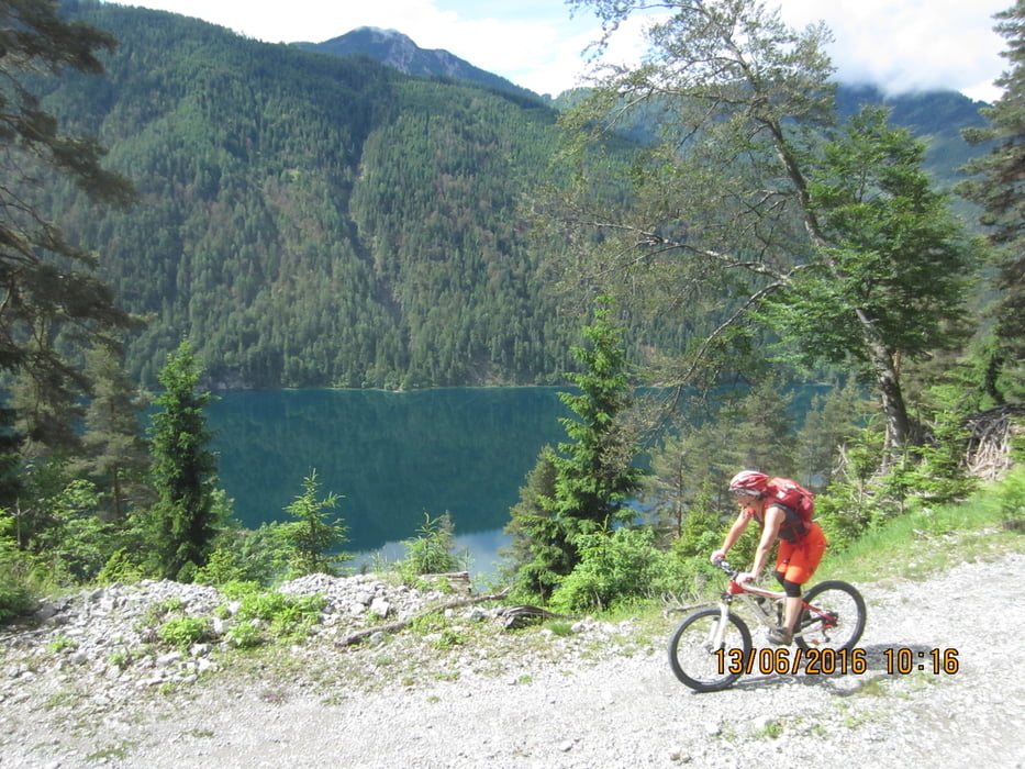
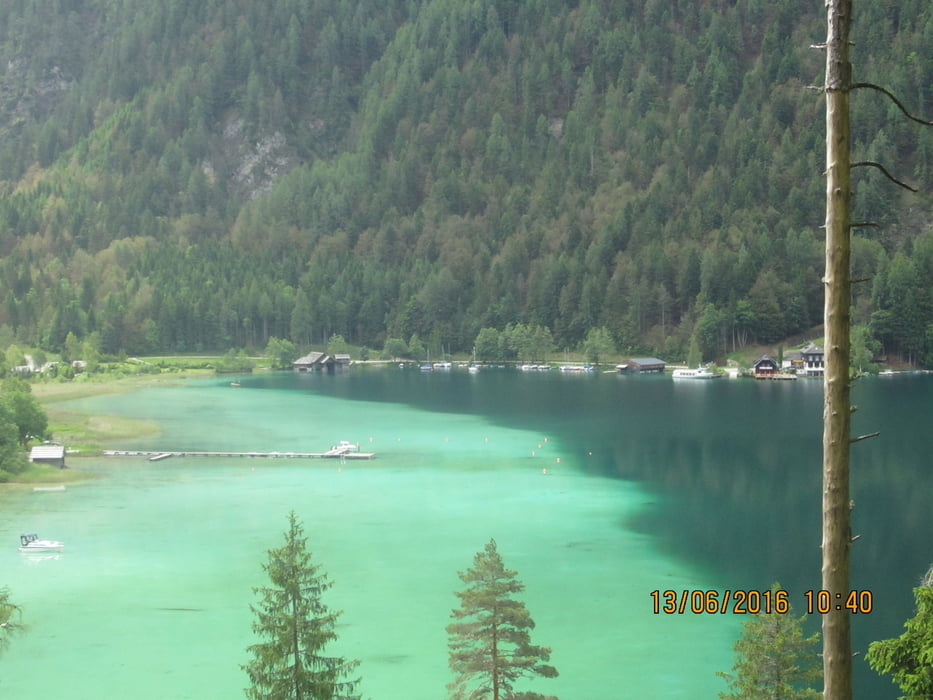
Einkehrmöglichkeiten: KM. 13,1  Seebad
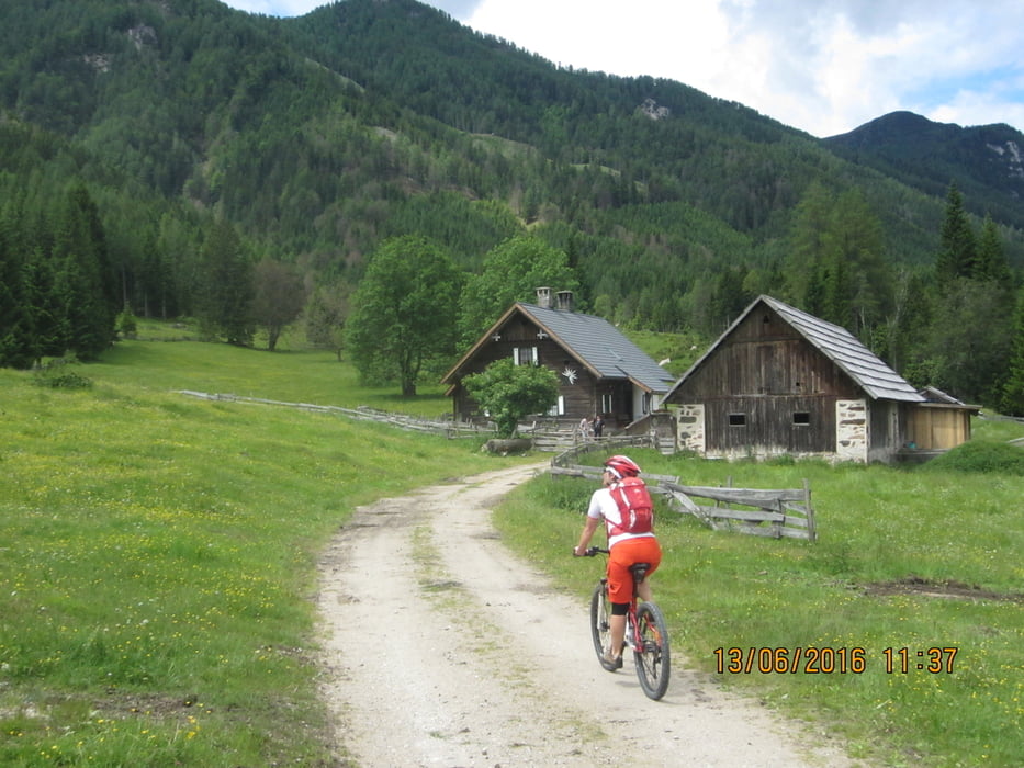
                                            KM. 19,9  Fischeralm 

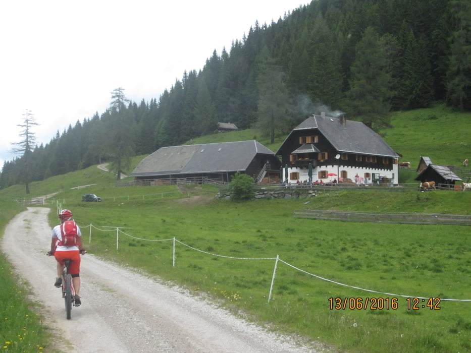
  •                                     KM. 21,6  Hermagorer Boden Alm(Käserei)

  • KM. 21,6  : Ehemaliges Glasbläserdorf "Tscherniheim". Von 1622-1872 in Betrieb. Ca. 30 Personen bewohnten die Siedlung. Ausgegrabener Schmelzofen ist noch vorhanden. 

galéria trás

Mapa trasy a výškový profil

  • Open Street Map
  • Google
Minimum height 903 m Maximum height 1246 m Detailný pohľad

More about the tour author

MargesinFriedrich
Member since 2012

Send private message

komentáre

GPS trasy

Trackpoints
  • GPX / Garmin Map Source (gpx) download
  • TCX / Garmin Training Center® (tcx) download
  • CRS / Garmin Training Center® (crs) download
  • Google Earth (kml) download
  • G7ToWin (g7t) download
  • TTQV (trk) download
  • Overlay (ovl) download
  • Fugawi (txt) download
  • Kompass (DAV) Track (tk) download
  • list trasy (pdf) download
  • Original file of the author (gpx) download

More about the tour author

MargesinFriedrich
Member since 2012

Send private message
Share track
Add to my favorites
Remove from my favorites
Edit tags
My score
Rate
trasa: Weissensee/Kärnten-Grosse Seerunde
Druh: horský bicykel
Dĺžka: 31,4 km
Evaluated on:
Doba:
Day(s)
Hour(s)
Minute(s)
ohodnotenie: Kraj pôžitok z túry kondícia technika