Login

Zabudli ste prihlasovacia meno

Cookies have to be accepted!
Your browser's cookie functionality is disabled. Please enable this functionality.

Not a member yet?

Register now
Login

Available for registred users only

Log in to use this feature.

Zabudli ste prihlasovacia meno

Cookies have to be accepted!
Your browser's cookie functionality is disabled. Please enable this functionality.

Not a member yet?

Register now
Filter
Kategórie
Advanced filters
  • Dĺžka (km)
  • výškomer
Uložiť filter Reset filter

TrackRank

QRCode

Technical data

Dĺžka15,3 km výškomer1473 m Way down1507 m Doba06:00 h:m dátum11.04.2018
ohodnotenia Author Kraj pôžitok z túry kondícia technika

štatistika

233 náhľady ohodnotenia 19 Stiahnutia priemer
Rate
  • list trasy
  • príjazd
  • Stiahnutia

Vom PP kurz das Tal auf der Ostseite hinauf (micht im Talgrund!!), bis zur Loftskarsaetra Hütte.

Dann den direkt über der Hütte befindlichen Rücken, leicht rechts haltend bis zum Gipfel hinauf.

Abfahrt wie Aufstieg, oder, wenn man noch den Kyrkietaket besteigen will oberhalb (östlich) der Hütte  ins Tal einfahren und auf den Rücken der vom Kyrkietaket in Richtung PP zieht aufsteigen. Über debn Rücken zum Gipfel. Abfahrt entlang des Rückens und an günstiger Stelle hinab zur Hütte oder direkt zum Aufstiegsweg zur Hütte.

Überblicksfoto siehe Tour #167523 Galtatinden
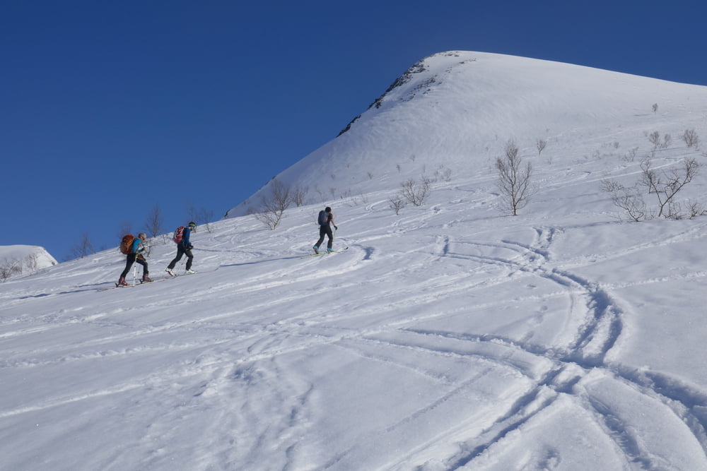
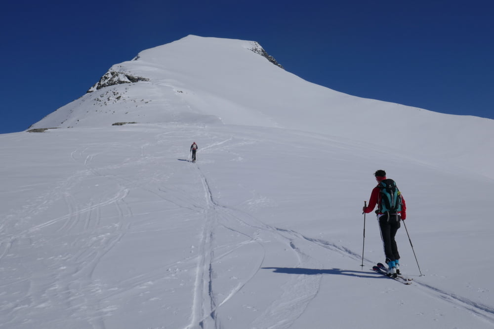
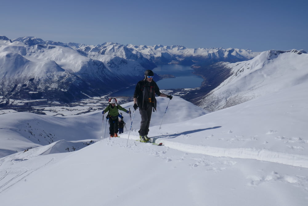
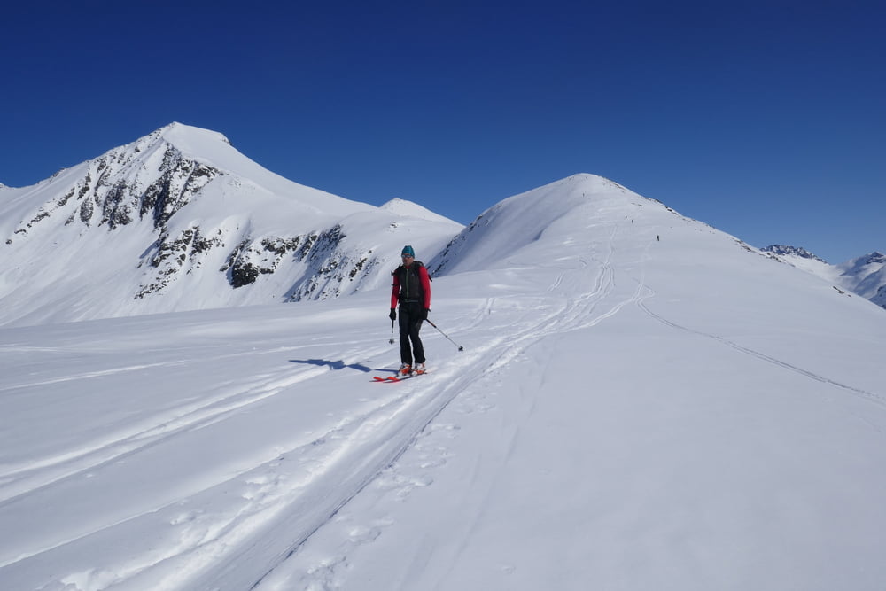
galéria trás

Mapa trasy a výškový profil

  • Open Street Map
  • Google
Minimum height 102 m Maximum height 1208 m Detailný pohľad

More about the tour author

Gi
Member since 2010

Send private message

komentáre

Von Isfjorden auf der 178 nach Osten und am Ortsende links hinauf. Parken wie bei Tour #167523:

GPS trasy

Trackpoints
  • GPX / Garmin Map Source (gpx) download
  • TCX / Garmin Training Center® (tcx) download
  • CRS / Garmin Training Center® (crs) download
  • Google Earth (kml) download
  • G7ToWin (g7t) download
  • TTQV (trk) download
  • Overlay (ovl) download
  • Fugawi (txt) download
  • Kompass (DAV) Track (tk) download
  • list trasy (pdf) download
  • Original file of the author (gpx) download

More about the tour author

Gi
Member since 2010

Send private message
Share track
Add to my favorites
Remove from my favorites
Edit tags
My score
Rate
trasa: Skarven und Kyrkietaket
Druh: lyže
Dĺžka: 15,3 km
Evaluated on:
Doba:
Day(s)
Hour(s)
Minute(s)
ohodnotenie: Kraj pôžitok z túry kondícia technika