


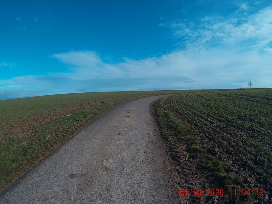
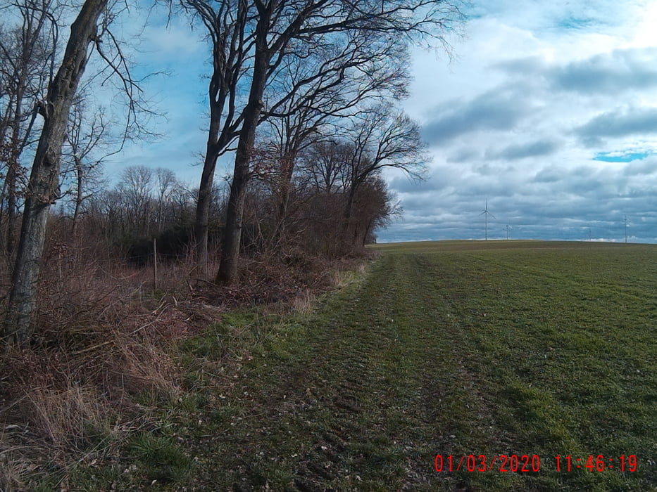
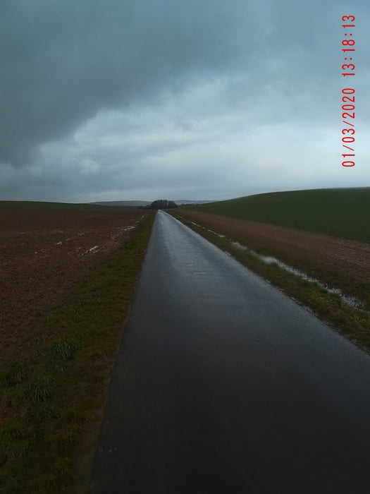
Start in Gerbrunn, von da über den Kirschberg zum neuen Friedhof, am Frosch! Hinauf über den Ho chi minh-Pfad (sehr steil), hoch zum Gerbrunner Flürle! Von dort über die unterfränkische Tundra nach Bibelried! Von da durch den Wald, nach Dettelbach-Bahnhof! Entlang der Autobahn gelangt man nach Rottendorf! Von gehts ruckzuck zurück nach Gerbrunn! ;-)
galéria trás
Mapa trasy a výškový profil
Minimum height 136 m
Maximum height 336 m
More about the tour author
|
|
Perikles |
komentáre

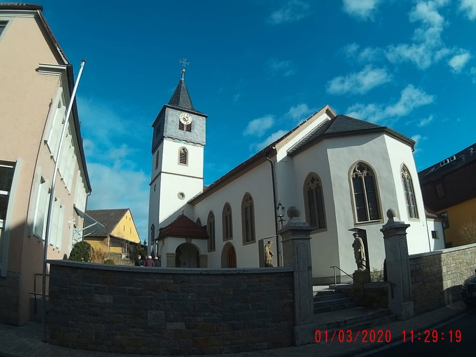
Entweder über die A3 oder die A7 erreichen Sie, im Norden Bayern, die schönste Stadt im Frankenland, Würzburg wird sie genannt! ;-)
Von da entweder, mit dem Auto, im Osten Würzburgs, Gerbrunn. Oder mit der Bahn komment und mit dem Bus (Linie14) Gerbrunn!
GPS trasy
Trackpoints-
GPX / Garmin Map Source (gpx) download
-
TCX / Garmin Training Center® (tcx) download
-
CRS / Garmin Training Center® (crs) download
-
Google Earth (kml) download
-
G7ToWin (g7t) download
-
TTQV (trk) download
-
Overlay (ovl) download
-
Fugawi (txt) download
-
Kompass (DAV) Track (tk) download
-
list trasy (pdf) download
-
Original file of the author (gpx) download
More about the tour author
|
|
Perikles |
Add to my favorites
Remove from my favorites
Edit tags
Open track
My score
Rate