Login

Zabudli ste prihlasovacia meno

Cookies have to be accepted!
Your browser's cookie functionality is disabled. Please enable this functionality.

Not a member yet?

Register now
Login

Available for registred users only

Log in to use this feature.

Zabudli ste prihlasovacia meno

Cookies have to be accepted!
Your browser's cookie functionality is disabled. Please enable this functionality.

Not a member yet?

Register now
Filter
Kategórie
Advanced filters
  • Dĺžka (km)
  • výškomer
Uložiť filter Reset filter

TrackRank

QRCode

Technical data

Dĺžka12,4 km výškomer24 m Way down49 m Doba03:20 h:m dátum02.07.2019
ohodnotenia Author Kraj pôžitok z túry kondícia technika

štatistika

290 náhľady ohodnotenia 6 Stiahnutia priemer
Rate
  • list trasy
  • príjazd
  • Stiahnutia
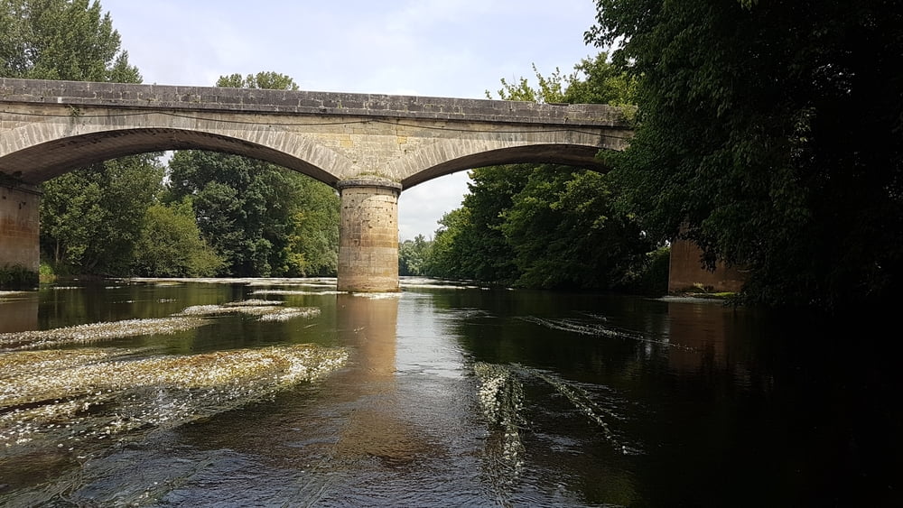
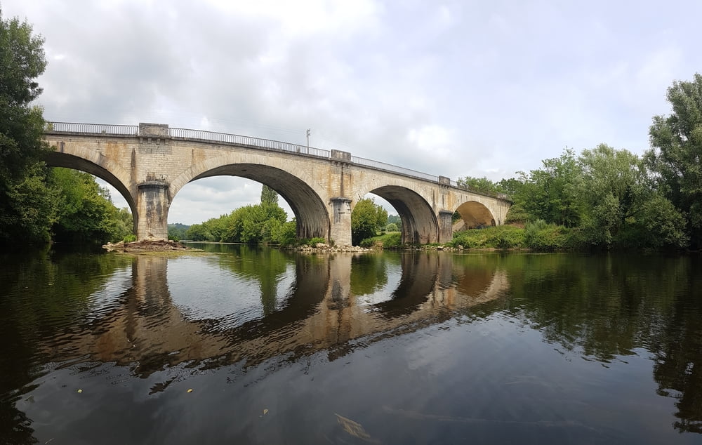
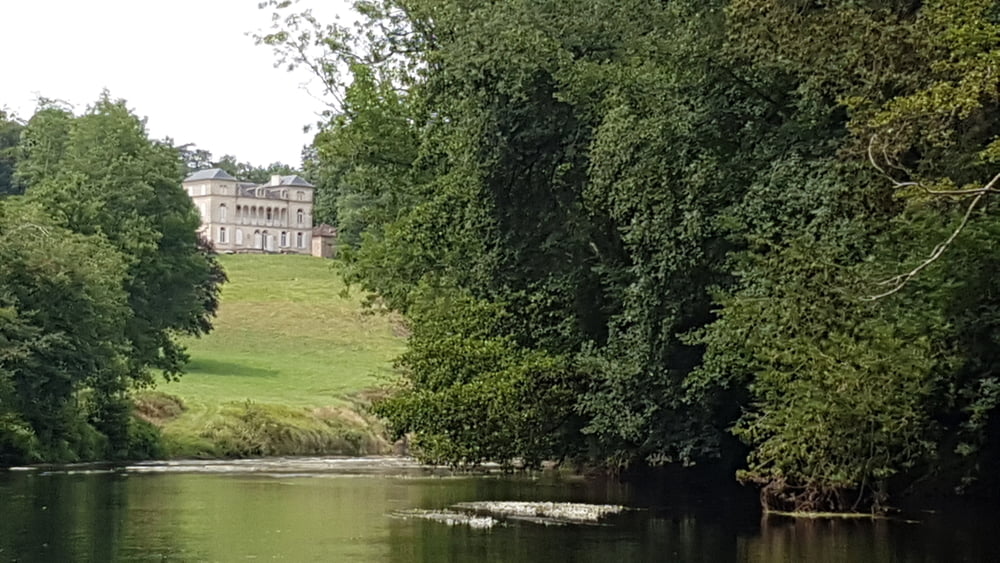
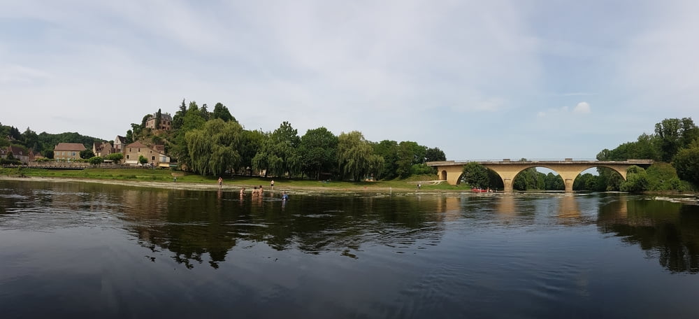
Die Vézère ist ein Fluss im Südwesten Frankreis, der in der Region Nouvelle-Aquitaine verläuft und bei Limeuil in die Dordogne mündet. Der Fluss hat keine größeren Schwierigskeitsgrade und meandert in großen Schleifen als Zahmwasser dahin. Oft ist die Strecke eingerahmt von hohen Baumbeständen, die die schöne Landschaft auf weiten Teilen nur erahnen lassen. 

Further information at

https://de.wikipedia.org/wiki/V%C3%A9z%C3%A8re

galéria trás

Mapa trasy a výškový profil

  • Open Street Map
  • Google
Minimum height 42 m Maximum height 77 m Detailný pohľad

More about the tour author

riemchens
Member since 2009

Send private message

komentáre

Von Limeuil aus nach Le Buque und vorn dort aus auf der D703 nach Champange zum Einsatzpunkt am Fluss.

GPS trasy

Trackpoints
  • GPX / Garmin Map Source (gpx) download
  • TCX / Garmin Training Center® (tcx) download
  • CRS / Garmin Training Center® (crs) download
  • Google Earth (kml) download
  • G7ToWin (g7t) download
  • TTQV (trk) download
  • Overlay (ovl) download
  • Fugawi (txt) download
  • Kompass (DAV) Track (tk) download
  • list trasy (pdf) download
  • Original file of the author (gpx) download

More about the tour author

riemchens
Member since 2009

Send private message
Share track
Add to my favorites
Remove from my favorites
Edit tags
My score
Rate
trasa: Vézère
Druh: Lodné a kanoe
Dĺžka: 12,4 km
Evaluated on:
Doba:
Day(s)
Hour(s)
Minute(s)
ohodnotenie: Kraj pôžitok z túry kondícia technika