Login

Zabudli ste prihlasovacia meno

Cookies have to be accepted!
Your browser's cookie functionality is disabled. Please enable this functionality.

Not a member yet?

Register now
Login

Available for registred users only

Log in to use this feature.

Zabudli ste prihlasovacia meno

Cookies have to be accepted!
Your browser's cookie functionality is disabled. Please enable this functionality.

Not a member yet?

Register now
Filter
Kategórie
Advanced filters
  • Dĺžka (km)
  • výškomer
Uložiť filter Reset filter

TrackRank

QRCode

Technical data

Dĺžka75,8 km výškomer267 m Way down375 m Doba04:00 h:m dátum27.08.2020
ohodnotenia Author Kraj pôžitok z túry kondícia technika

štatistika

278 náhľady ohodnotenia 9 Stiahnutia priemer
Rate
  • list trasy
  • príjazd
  • Stiahnutia

Ich wollt eigentlich bei starkem Westwind den Radweg von Wien nach Hainburg fahren.

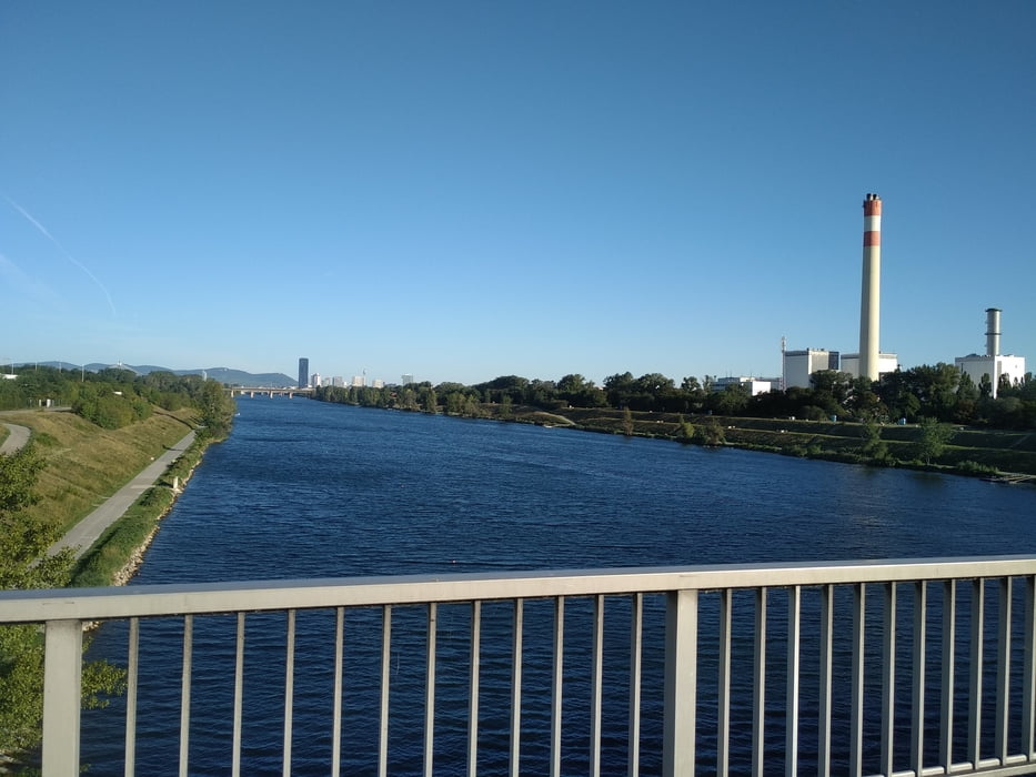
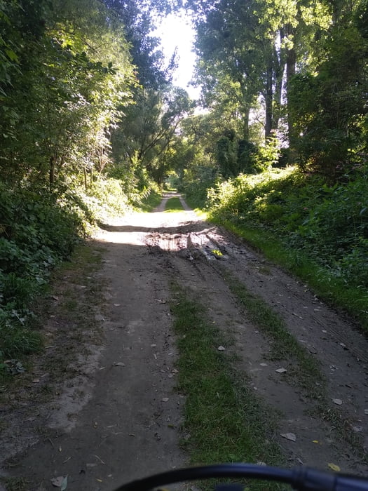
Bei Orth hab ich vor langeweile abgebrochen. Der Weg ist entlang des Donaudammes sehr eintönig.Das Highlight dieser Strecke ist das Überqueren der Donau mittels einer kleinen Fähre in Orth an der Donau  (5€ mit Rad). Bis auf kurze Strecken ist auf dem aufgezeichneten Weg alles Asphalt.

Streckenverlauf:

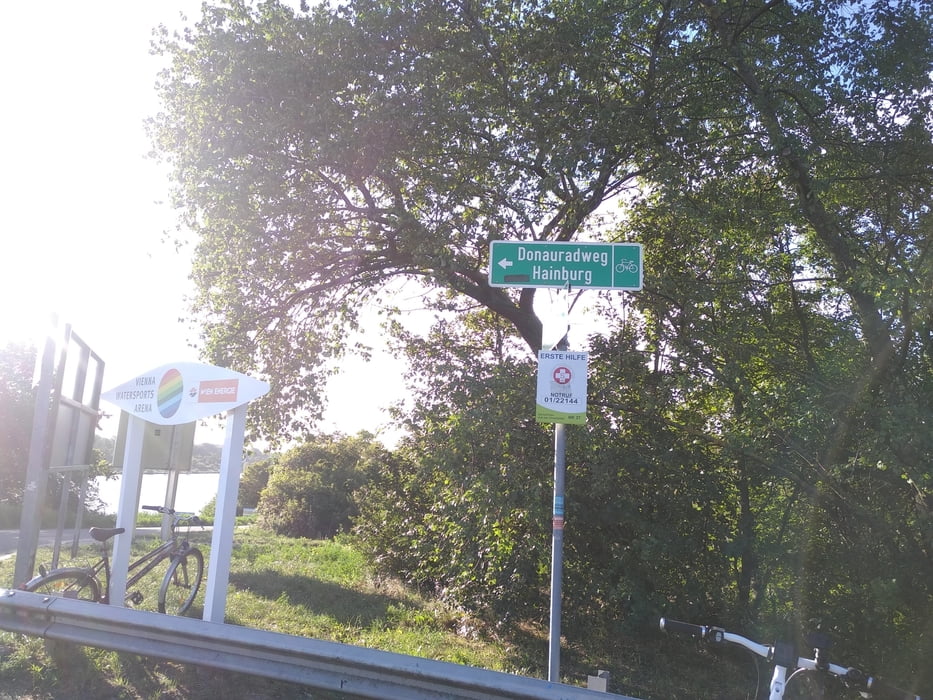
Von Wien Hauptbahnhof  auf die Donauinsel.

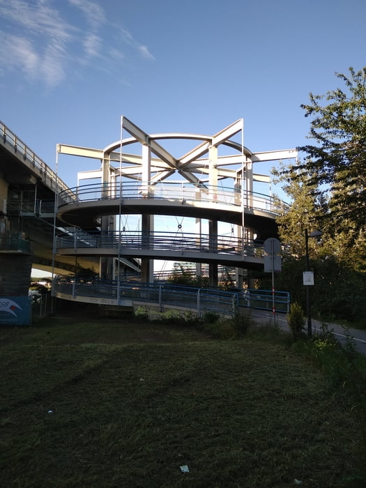
Über die Steinspornbrücke und durch den Ölhafen den Eurovelo 6 nehmen nach Orth an der Donau.

Dort übersetzen und wieder kurz dem Eurovelo 6 folgen um dann über Scharndorf, Höflein, Pachfurth nach Parndorf zu fahren.

Danach dem Radweg nach Neusiedl am See bis nach Weiden folgen. Anschließend nach Gols.

galéria trás

Mapa trasy a výškový profil

  • Open Street Map
  • Google
Minimum height 158 m Maximum height 281 m Detailný pohľad

More about the tour author

Jonas6x62
Member since 2020

Send private message

komentáre

Mit dem Zug zum Hauptbahnhof Wien.

GPS trasy

Trackpoints
  • GPX / Garmin Map Source (gpx) download
  • TCX / Garmin Training Center® (tcx) download
  • CRS / Garmin Training Center® (crs) download
  • Google Earth (kml) download
  • G7ToWin (g7t) download
  • TTQV (trk) download
  • Overlay (ovl) download
  • Fugawi (txt) download
  • Kompass (DAV) Track (tk) download
  • list trasy (pdf) download
  • Original file of the author (gpx) download

More about the tour author

Jonas6x62
Member since 2020

Send private message
Share track
Add to my favorites
Remove from my favorites
Edit tags
My score
Rate
trasa: Wien Donauradweg Gols
Druh: trekingové bicykle
Dĺžka: 75,8 km
Evaluated on:
Doba:
Day(s)
Hour(s)
Minute(s)
ohodnotenie: Kraj pôžitok z túry kondícia technika