


Offizielle Rundstrecke " Windradweg"
Streckenbeschreibung:
Von Gols Kirche ausgehend nach Weiden zum Windradweg.
Von da an ist der Weg gut beschildert.
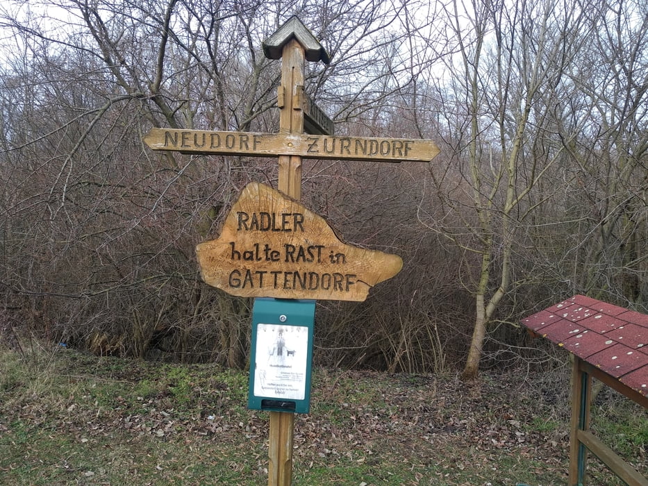
Anfangs etwas bergan auf die Parndorfer Platte. Dort auf geraden Wegen und auch die A4 entlang bis nach Zurndorf. Hier folgt der schönste Steckenabschnitt die Leitha stromaufwärts folgend nach Gattendorf.
Anschließend nach Neudorf und Parndorf.
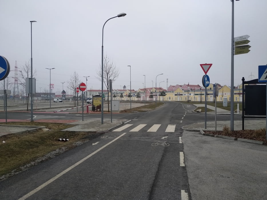
Von dort den eigenartigen Radweg übers Outletcenter folgen um nach Neusiedl zu gelangen.
Der Windradweg geht hinter der BP in Neusiedl erfrischend bergab . Ich bin nicht wie offiziell das Eck zum Bahnhof gefahren, sondern einen hintaus Abschneider. Den Radweg B10 nehmen nach Weiden und von Weiden zurück nach Gols.
Eine nette Tour. Bei starkem Wind nicht zu empfehlen !
Alles Asphalt!
Further information at
http://www.gemeinde-parndorf.at/de/tourismus/radwege_in_parndorf/galéria trás
Mapa trasy a výškový profil
Minimum height 165 m
Maximum height 244 m
More about the tour author
|
|
Jonas6x62 |
komentáre

Der Windradweg kann auch vom Bahnhof in Neusiedl am See gestartet werden
GPS trasy
Trackpoints-
GPX / Garmin Map Source (gpx) download
-
TCX / Garmin Training Center® (tcx) download
-
CRS / Garmin Training Center® (crs) download
-
Google Earth (kml) download
-
G7ToWin (g7t) download
-
TTQV (trk) download
-
Overlay (ovl) download
-
Fugawi (txt) download
-
Kompass (DAV) Track (tk) download
-
list trasy (pdf) download
-
Original file of the author (gpx) download
More about the tour author
|
|
Jonas6x62 |
Add to my favorites
Remove from my favorites
Edit tags
Open track
My score
Rate