Login

Zabudli ste prihlasovacia meno

Cookies have to be accepted!
Your browser's cookie functionality is disabled. Please enable this functionality.

Not a member yet?

Register now
Login

Available for registred users only

Log in to use this feature.

Zabudli ste prihlasovacia meno

Cookies have to be accepted!
Your browser's cookie functionality is disabled. Please enable this functionality.

Not a member yet?

Register now
Filter
Kategórie
Advanced filters
  • Dĺžka (km)
  • výškomer
Uložiť filter Reset filter

TrackRank

QRCode

Technical data

Dĺžka200,8 km výškomer1447 m Way down1447 m Doba09:49 h:m dátum05.06.2021
ohodnotenia Author Kraj pôžitok z túry kondícia technika

štatistika

214 náhľady ohodnotenia 7 Stiahnutia priemer
Rate
  • list trasy
  • príjazd
  • Stiahnutia

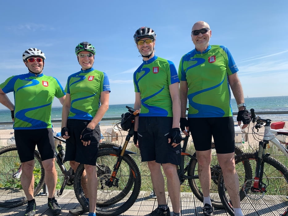
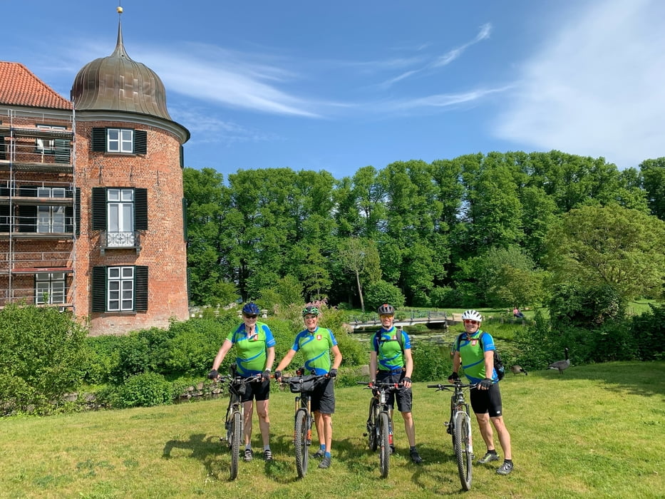
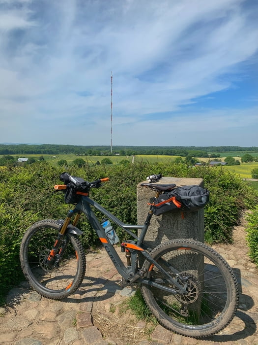
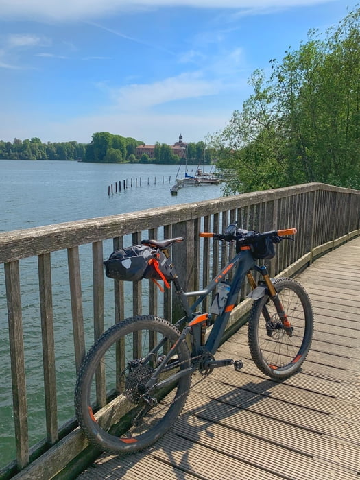
Bei dieser Tour stehen 200 km per MTB an. Daher ist sie auch sehr Asphalt lastig.

Start Hamburg Lemsahl - Ohlstedt - Ammerbek - Bünningstedt - Dehlingsdorf - Tremsbüttel - Süderbestetrail - Rümpel - Bad Oldesloe - Traveflow - Reinfeldtrail - Bäcker in Reinfeld (Frühstück) - Herrenteich - Heidekamp - Badendorf - kurz mal nach Lübeck - Eckhorst - Arfrade - Lübeck Sicht - Klein Parin - Horsdorf - Pansdorf - Scharbeutz - am Ende von Sierkdorf / Ostsee baden ohne Kurtaxe - Rosenberg - Övelgönne - Roge - Gömitzer Berg - Kasseedorf - Restaurant 168 üNN (Siesta mit super Pasta) - Bungsberg 167,4 m / Top of SH - Kirchmühl - Sagau - Eutiner See - Eutin - Quisdorf - Hassendorf - Liethkaten - Berlin - Hohlegruft - Klein Rönnau - Großer Segeberger See - Bad Segeberg (Kaffeepause im Einstein) - Klein Gladebrügge - Schwissel - Bebensee - Tralau - Klingberg - Sülfeld - Gräberkate - Waldesruh Wilhelm - Duvenstedter Brook - Duvenstedt - Lemsahl

Further information at

https://www.holsteinischeschweiz.de/gastro/cafe-restaurant-168-ue-nn

galéria trás

Mapa trasy a výškový profil

  • Open Street Map
  • Google
Minimum height Maximum height 166 m Detailný pohľad

More about the tour author

hegi
Member since 2007

Send private message

komentáre

Start in Hamburg Lemsahl. Hier kann man in den Wohngegenden parken

GPS trasy

Trackpoints
  • GPX / Garmin Map Source (gpx) download
  • TCX / Garmin Training Center® (tcx) download
  • CRS / Garmin Training Center® (crs) download
  • Google Earth (kml) download
  • G7ToWin (g7t) download
  • TTQV (trk) download
  • Overlay (ovl) download
  • Fugawi (txt) download
  • Kompass (DAV) Track (tk) download
  • list trasy (pdf) download
  • Original file of the author (gpx) download

More about the tour author

hegi
Member since 2007

Send private message
Share track
Add to my favorites
Remove from my favorites
Edit tags
My score
Rate
trasa: 201 km Top of SH Bungsberg Marathon
Druh: horský bicykel
Dĺžka: 200,8 km
Evaluated on:
Doba:
Day(s)
Hour(s)
Minute(s)
ohodnotenie: Kraj pôžitok z túry kondícia technika